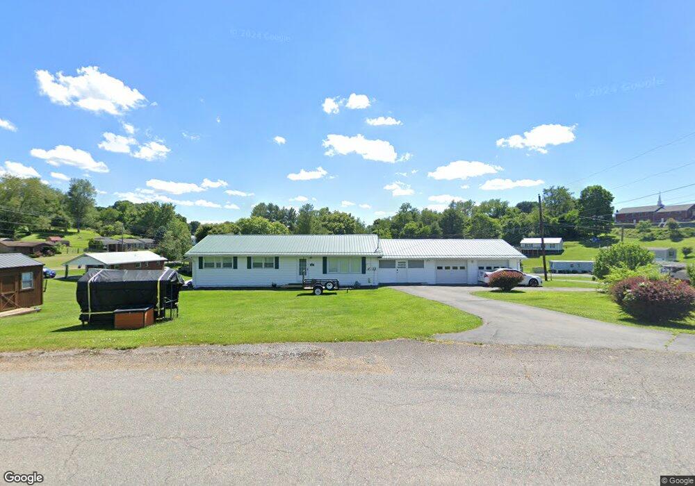
1104 Grubmore Rd Marion, VA 24354
Estimated Value: $181,621 - $208,000
3
Beds
3
Baths
2,025
Sq Ft
$98/Sq Ft
Est. Value
About This Home
This home is located at 1104 Grubmore Rd, Marion, VA 24354 and is currently estimated at $198,405, approximately $97 per square foot. 1104 Grubmore Rd is a home located in Smyth County with nearby schools including Oak Point Elementary School, Marion Middle School, and Marion Senior High School.
Ownership History
Date
Name
Owned For
Owner Type
Purchase Details
Closed on
Apr 1, 2016
Sold by
Guy Kenneth Dwayne and Guy Becky Maria
Bought by
Anderson Reginald
Current Estimated Value
Home Financials for this Owner
Home Financials are based on the most recent Mortgage that was taken out on this home.
Original Mortgage
$115,429
Outstanding Balance
$91,611
Interest Rate
3.65%
Mortgage Type
VA
Estimated Equity
$106,794
Create a Home Valuation Report for This Property
The Home Valuation Report is an in-depth analysis detailing your home's value as well as a comparison with similar homes in the area
Home Values in the Area
Average Home Value in this Area
Purchase History
| Date | Buyer | Sale Price | Title Company |
|---|---|---|---|
| Anderson Reginald | $113,000 | Blue Rdg Title&Stlmnt Agency |
Source: Public Records
Mortgage History
| Date | Status | Borrower | Loan Amount |
|---|---|---|---|
| Open | Anderson Reginald | $115,429 |
Source: Public Records
Tax History Compared to Growth
Tax History
| Year | Tax Paid | Tax Assessment Tax Assessment Total Assessment is a certain percentage of the fair market value that is determined by local assessors to be the total taxable value of land and additions on the property. | Land | Improvement |
|---|---|---|---|---|
| 2025 | $898 | $152,200 | $12,000 | $140,200 |
| 2024 | $898 | $152,200 | $12,000 | $140,200 |
| 2023 | $815 | $110,100 | $10,000 | $100,100 |
| 2022 | $815 | $110,100 | $10,000 | $100,100 |
| 2021 | $815 | $110,100 | $10,000 | $100,100 |
| 2020 | $815 | $110,100 | $10,000 | $100,100 |
| 2019 | $718 | $97,000 | $10,000 | $87,000 |
| 2018 | $718 | $97,000 | $10,000 | $87,000 |
| 2017 | $718 | $97,000 | $10,000 | $87,000 |
| 2016 | $718 | $97,000 | $10,000 | $87,000 |
| 2015 | $718 | $0 | $0 | $0 |
| 2014 | $728 | $0 | $0 | $0 |
Source: Public Records
Map
Nearby Homes
- 513 Adwolfe Rd
- 151 Rolling Hills Dr
- 495 Vale Cir
- 232 Thomas Rd
- 409 Vale Cir
- 1943 Red Stone Rd
- 1900 Lee Hwy
- 1900 Lee Highway Land
- 158 North Dr
- 154 North Dr
- 450 Stoney Battery Rd
- 293 Deans Branch
- 556 Stoney Battery Rd
- 121 Sapwood Dr
- tbd Chestnut Ridge Rd
- 950 Lee Hwy
- 1219 Chestnut Ridge Rd
- 206 Spring Hollow Rd
- 1346 W Chilhowie St
- 244 Rosenbaum Hollow Ln
- 1212 Locust Grove Rd
- TBD Keller Ln
- 2411 Riverside Rd
- 2403 Riverside Rd
- 1226 Locust Grove Rd
- 1100 Grubmore Rd
- 1215 Locust Grove Rd
- 2393 Riverside Rd
- 1086 Grubmore Rd
- 2408 Riverside Rd
- 2381 Riverside Rd
- 1235 Locust Grove Rd
- 1236 Locust Grove Rd
- 1066 Grubmore Rd
- 2400 Riverside Rd
- 2418 Riverside Rd
- 1242 Locust Grove Rd
- 2390 Riverside Rd
- 2373 Riverside Rd
- 2436 Riverside Rd