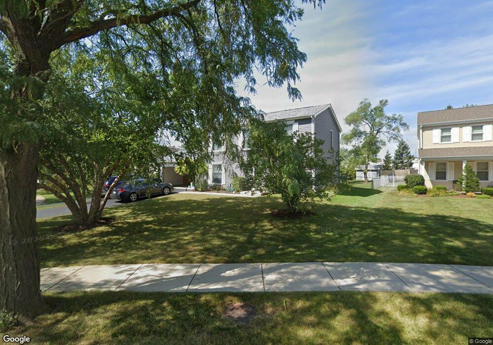
1104 Howard Dr Schaumburg, IL 60193
South Schaumburg NeighborhoodEstimated Value: $509,000 - $572,000
3
Beds
3
Baths
2,072
Sq Ft
$259/Sq Ft
Est. Value
About This Home
This home is located at 1104 Howard Dr, Schaumburg, IL 60193 and is currently estimated at $536,389, approximately $258 per square foot. 1104 Howard Dr is a home located in Cook County with nearby schools including Michael Collins Elementary School, Robert Frost Junior High School, and J B Conant High School.
Ownership History
Date
Name
Owned For
Owner Type
Purchase Details
Closed on
Apr 16, 2008
Sold by
Bennett Pamela and Mcfee Ken
Bought by
Pierce Sharon
Current Estimated Value
Home Financials for this Owner
Home Financials are based on the most recent Mortgage that was taken out on this home.
Original Mortgage
$234,500
Outstanding Balance
$145,847
Interest Rate
5.88%
Mortgage Type
Unknown
Estimated Equity
$390,542
Purchase Details
Closed on
May 23, 1997
Sold by
Mcfee Kenneth James
Bought by
Bennett Pamela
Create a Home Valuation Report for This Property
The Home Valuation Report is an in-depth analysis detailing your home's value as well as a comparison with similar homes in the area
Home Values in the Area
Average Home Value in this Area
Purchase History
| Date | Buyer | Sale Price | Title Company |
|---|---|---|---|
| Pierce Sharon | $335,000 | First American Title Ins Co | |
| Bennett Pamela | -- | -- |
Source: Public Records
Mortgage History
| Date | Status | Borrower | Loan Amount |
|---|---|---|---|
| Open | Pierce Sharon | $234,500 |
Source: Public Records
Tax History
| Year | Tax Paid | Tax Assessment Tax Assessment Total Assessment is a certain percentage of the fair market value that is determined by local assessors to be the total taxable value of land and additions on the property. | Land | Improvement |
|---|---|---|---|---|
| 2025 | $10,925 | $50,000 | $14,833 | $35,167 |
| 2024 | $10,925 | $39,000 | $12,551 | $26,449 |
| 2023 | $10,594 | $39,000 | $12,551 | $26,449 |
| 2022 | $10,594 | $39,000 | $12,551 | $26,449 |
| 2021 | $10,164 | $33,533 | $6,846 | $26,687 |
| 2020 | $9,989 | $33,533 | $6,846 | $26,687 |
| 2019 | $9,987 | $37,259 | $6,846 | $30,413 |
| 2018 | $9,614 | $32,035 | $5,990 | $26,045 |
| 2017 | $9,463 | $32,035 | $5,990 | $26,045 |
| 2016 | $8,849 | $32,035 | $5,990 | $26,045 |
| 2015 | $9,825 | $32,842 | $5,134 | $27,708 |
| 2014 | $9,717 | $32,842 | $5,134 | $27,708 |
| 2013 | $9,469 | $32,842 | $5,134 | $27,708 |
Source: Public Records
Map
Nearby Homes
- 20 Shore Dr
- 1100 Boston Harbor Unit 7004
- 411 Drake Cir Unit 401B
- 1326 Summit Dr
- 207 Mountain Interval Rd Unit 7230
- 240 Warren Ln Unit 11348
- 232 Warren Ln Unit 11546
- 1064 Hampton Harbor Unit 1064
- 134 Lunt Ave
- 733 Limerick Ln Unit 7333D
- 1055 Hampton Harbor Unit 1055
- 235 Quincy Ct
- 717 Killarney Ct Unit 2D
- 518 E Niagara Ave
- 725 Limerick Ln Unit 2-B
- 1500 Illinois St
- 701 Limerick Ln Unit 3B
- 631 Derry Ct Unit 1B
- 631 Derry Ct Unit 3C
- 631 Derry Ct Unit 2C
Your Personal Tour Guide
Ask me questions while you tour the home.