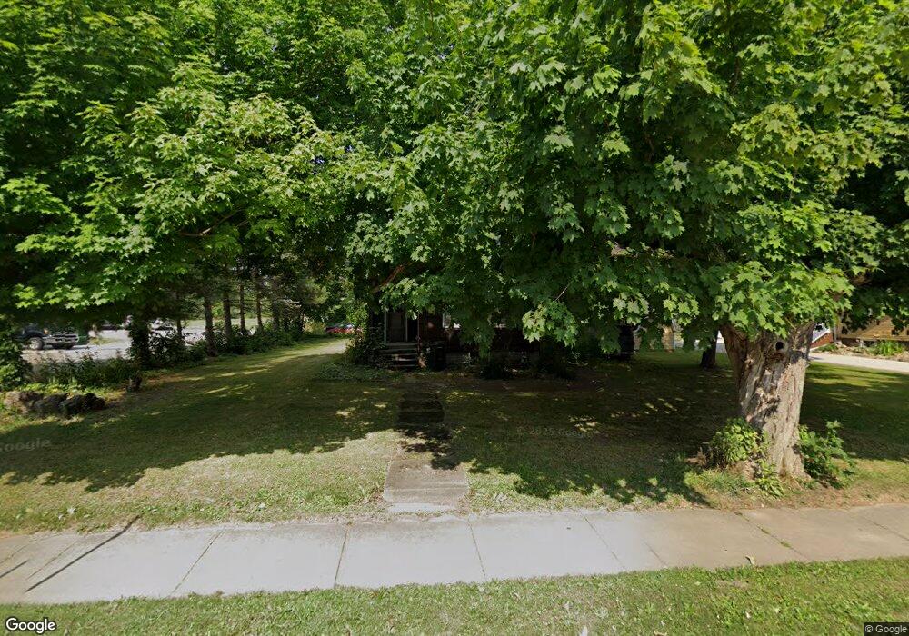
1104 N Union Ave Alliance, OH 44601
Estimated Value: $57,000 - $133,000
3
Beds
2
Baths
1,961
Sq Ft
$49/Sq Ft
Est. Value
About This Home
This home is located at 1104 N Union Ave, Alliance, OH 44601 and is currently estimated at $96,994, approximately $49 per square foot. 1104 N Union Ave is a home located in Stark County with nearby schools including Alliance Early Learning School, Alliance Intermediate School at Northside, and Alliance Middle School.
Ownership History
Date
Name
Owned For
Owner Type
Purchase Details
Closed on
Aug 13, 2000
Sold by
Clouston Daniel A
Bought by
Zwick David M
Current Estimated Value
Home Financials for this Owner
Home Financials are based on the most recent Mortgage that was taken out on this home.
Original Mortgage
$39,525
Interest Rate
8.14%
Mortgage Type
Purchase Money Mortgage
Purchase Details
Closed on
May 9, 1990
Sold by
Clouston Julie A
Bought by
Clouston Daniel A
Home Financials for this Owner
Home Financials are based on the most recent Mortgage that was taken out on this home.
Original Mortgage
$38,500
Interest Rate
8.13%
Mortgage Type
Purchase Money Mortgage
Purchase Details
Closed on
Jan 27, 1988
Create a Home Valuation Report for This Property
The Home Valuation Report is an in-depth analysis detailing your home's value as well as a comparison with similar homes in the area
Home Values in the Area
Average Home Value in this Area
Purchase History
| Date | Buyer | Sale Price | Title Company |
|---|---|---|---|
| Zwick David M | $46,500 | -- | |
| Clouston Daniel A | -- | Ticorp National Title Agency | |
| -- | $33,000 | -- |
Source: Public Records
Mortgage History
| Date | Status | Borrower | Loan Amount |
|---|---|---|---|
| Closed | Zwick David M | $39,525 | |
| Previous Owner | Clouston Daniel A | $38,500 |
Source: Public Records
Tax History Compared to Growth
Tax History
| Year | Tax Paid | Tax Assessment Tax Assessment Total Assessment is a certain percentage of the fair market value that is determined by local assessors to be the total taxable value of land and additions on the property. | Land | Improvement |
|---|---|---|---|---|
| 2025 | -- | $18,760 | $11,410 | $7,350 |
| 2024 | -- | $18,760 | $11,410 | $7,350 |
| 2023 | $650 | $15,790 | $6,510 | $9,280 |
| 2022 | $654 | $15,790 | $6,510 | $9,280 |
| 2021 | $656 | $15,790 | $6,510 | $9,280 |
| 2020 | $590 | $13,270 | $5,670 | $7,600 |
| 2019 | $582 | $13,280 | $5,670 | $7,610 |
| 2018 | $585 | $13,280 | $5,670 | $7,610 |
| 2017 | $522 | $11,640 | $4,730 | $6,910 |
| 2016 | $527 | $11,640 | $4,730 | $6,910 |
| 2015 | $773 | $16,930 | $5,010 | $11,920 |
| 2014 | $791 | $16,490 | $4,900 | $11,590 |
| 2013 | $394 | $16,490 | $4,900 | $11,590 |
Source: Public Records
Map
Nearby Homes
- 11344 Walnut Ave NE
- 124 E Wayne St
- 710 N Freedom Ave
- 11680 Walnut Ave NE
- 11310 Webb Ave NE
- 0 Meadowbrook Ave
- 000 Meadowbrook Ave
- 14723 Bolton St NE
- 652 N Webb Ave
- 0 Homestead Ave NE
- 511 W Ely St
- 15995 Elbrook St NE
- 0 Johnson Ave NE Unit 5142926
- 329 1/2 W Main St
- 163 W Market St
- 361 E Main St
- 345 W Market St
- 132 S Haines Ave
- 432 Johnson Ave
- 263 Franklin Ave
- 1124 N Union Ave
- 1092 N Union Ave
- 1094 N Union Ave
- 1141 Kelly Ave
- 1130 Kelly Ave
- 1105 N Union Ave
- 1143 Kelly Ave
- 1132 Kelly Ave
- 1132 Kelly Ave
- 1134 Kelly Ave
- 1205 N Union Ave
- 0001 Union Ave N
- 11317 Kelly Ave NE
- 0000 Union Ave N
- 1039 N Union Ave
- 11 E Gaskill St
- 1011 N Union Ave
- 11340 Tullis Ave NE
- 11340 Tullis Ave NE
- 89 E Gaskill St