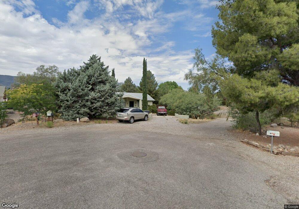
1104 S Ridge Cir Unit Cr Cottonwood, AZ 86326
Cottonwood Neighborhood
2
Beds
--
Bath
1,307
Sq Ft
--
Built
About This Home
This home is located at 1104 S Ridge Cir Unit Cr, Cottonwood, AZ 86326. 1104 S Ridge Cir Unit Cr is a home located in Yavapai County with nearby schools including Dr Daniel Bright Elementary School, Cottonwood Elementary School, and Cottonwood Community School.
Ownership History
Date
Name
Owned For
Owner Type
Purchase Details
Closed on
Feb 2, 2010
Sold by
Jp Morgan Chase Bank National Associatio
Bought by
Solland Linda M
Purchase Details
Closed on
Oct 9, 2009
Sold by
Housholder Debra
Bought by
Jpmorgan Chase Bank National Association
Purchase Details
Closed on
Jan 26, 2005
Sold by
Housholder James
Bought by
Housholder Debra
Home Financials for this Owner
Home Financials are based on the most recent Mortgage that was taken out on this home.
Original Mortgage
$146,400
Interest Rate
6.8%
Mortgage Type
Purchase Money Mortgage
Purchase Details
Closed on
Jan 25, 2005
Sold by
Backlund Robert W and Backlund Wanda M
Bought by
Housholder Debra
Home Financials for this Owner
Home Financials are based on the most recent Mortgage that was taken out on this home.
Original Mortgage
$146,400
Interest Rate
6.8%
Mortgage Type
Purchase Money Mortgage
Create a Home Valuation Report for This Property
The Home Valuation Report is an in-depth analysis detailing your home's value as well as a comparison with similar homes in the area
Home Values in the Area
Average Home Value in this Area
Purchase History
| Date | Buyer | Sale Price | Title Company |
|---|---|---|---|
| Solland Linda M | $113,850 | Lawyers Title Of Az | |
| Jpmorgan Chase Bank National Association | $81,200 | Security Title Agency | |
| Housholder Debra | -- | Pioneer Title Agency | |
| Housholder Debra | $183,000 | Pioneer Title Agency |
Source: Public Records
Mortgage History
| Date | Status | Borrower | Loan Amount |
|---|---|---|---|
| Previous Owner | Housholder Debra | $146,400 | |
| Previous Owner | Housholder Debra | $146,400 |
Source: Public Records
Tax History Compared to Growth
Tax History
| Year | Tax Paid | Tax Assessment Tax Assessment Total Assessment is a certain percentage of the fair market value that is determined by local assessors to be the total taxable value of land and additions on the property. | Land | Improvement |
|---|---|---|---|---|
| 2026 | $1,108 | $33,855 | -- | -- |
| 2024 | $1,085 | $33,641 | -- | -- |
| 2023 | $1,085 | $27,476 | $3,817 | $23,659 |
| 2022 | $1,082 | $22,274 | $3,082 | $19,192 |
| 2021 | $1,176 | $20,955 | $3,224 | $17,731 |
| 2020 | $1,169 | $0 | $0 | $0 |
| 2019 | $1,162 | $0 | $0 | $0 |
| 2018 | $1,116 | $0 | $0 | $0 |
| 2017 | $1,069 | $0 | $0 | $0 |
| 2016 | $1,051 | $0 | $0 | $0 |
| 2015 | $1,052 | $0 | $0 | $0 |
| 2014 | $933 | $0 | $0 | $0 |
Source: Public Records
Map
Nearby Homes
- 304 W Mesquite Dr Unit 8
- 609 W Fir St
- 570 E La Jolla Cir
- 1063 S Viejo Dr
- 1239 S Navajo Dr
- 910 S Tigres Trail
- 1041 S Vista Grande Dr
- 1381 S Saddleback Dr
- 1191 S Vista Grande Dr
- 320 E Fir St
- 807 S Tigres Trail
- 1203 S Settlers Cir Unit 8
- 9 E Crimson Rd Unit Lot 18
- 601 Clover Way Unit 7
- 5 W Cottonwood St Unit 23
- 912 S 6th St
- 630 E Elm St
- 421 Boulder Ln
- 1514 S Mano Ln
- 1860 Sunset Dr