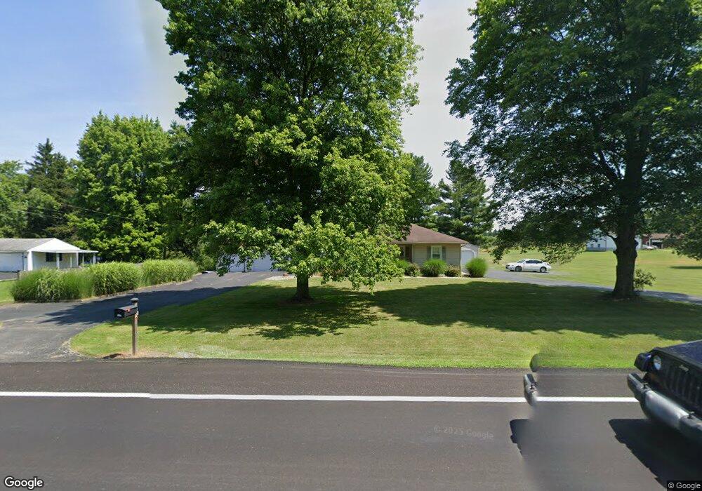
1104 State Route 7 NE Brookfield, OH 44403
Estimated Value: $270,000 - $370,000
3
Beds
2
Baths
2,218
Sq Ft
$148/Sq Ft
Est. Value
About This Home
This home is located at 1104 State Route 7 NE, Brookfield, OH 44403 and is currently estimated at $329,211, approximately $148 per square foot. 1104 State Route 7 NE is a home located in Trumbull County with nearby schools including Brookfield Elementary School, Brookfield Middle School, and Brookfield High School.
Ownership History
Date
Name
Owned For
Owner Type
Purchase Details
Closed on
Sep 10, 2013
Sold by
Frazier Dorothy F
Bought by
Smith Stephen K and Smith Melissa L
Current Estimated Value
Purchase Details
Closed on
Jul 31, 2007
Sold by
Mosora Michael and Mosora Deborah A
Bought by
Smith Stephen K and Smith Melissa L
Purchase Details
Closed on
Jul 29, 2007
Sold by
Mosora Michael and Mosora Deborah A
Bought by
Smith Stephen K and Smith Melissa L
Purchase Details
Closed on
Jan 1, 1990
Bought by
Betty M Stewart
Create a Home Valuation Report for This Property
The Home Valuation Report is an in-depth analysis detailing your home's value as well as a comparison with similar homes in the area
Home Values in the Area
Average Home Value in this Area
Purchase History
| Date | Buyer | Sale Price | Title Company |
|---|---|---|---|
| Smith Stephen K | $10,000 | None Available | |
| Smith Stephen K | -- | None Available | |
| Smith Stephen K | -- | None Available | |
| Betty M Stewart | -- | -- |
Source: Public Records
Tax History Compared to Growth
Tax History
| Year | Tax Paid | Tax Assessment Tax Assessment Total Assessment is a certain percentage of the fair market value that is determined by local assessors to be the total taxable value of land and additions on the property. | Land | Improvement |
|---|---|---|---|---|
| 2024 | $3,592 | $78,190 | $11,620 | $66,570 |
| 2023 | $3,592 | $78,190 | $11,620 | $66,570 |
| 2022 | $3,319 | $58,520 | $10,780 | $47,740 |
| 2021 | $3,110 | $58,520 | $10,780 | $47,740 |
| 2020 | $3,090 | $58,520 | $10,780 | $47,740 |
| 2019 | $2,873 | $50,720 | $9,980 | $40,740 |
| 2018 | $2,848 | $50,720 | $9,980 | $40,740 |
| 2017 | $2,828 | $50,440 | $9,980 | $40,460 |
| 2016 | $2,694 | $46,170 | $10,820 | $35,350 |
| 2015 | $2,698 | $46,170 | $10,820 | $35,350 |
| 2014 | $2,686 | $46,170 | $10,820 | $35,350 |
| 2013 | $2,542 | $44,630 | $6,620 | $38,010 |
Source: Public Records
Map
Nearby Homes
- 1212 State Route 7 NE
- 209 Wyngate Dr
- 7085 Sunnydell Dr
- 7290 Lee Rd NE
- 7086 Warren Sharon Rd
- 1370 Custer Orangeville Rd
- 0 Albright McKay Rd NE
- 6130 Warren Sharon Rd
- 872 Yankee Run Rd
- 1921 Custer Orangeville Rd
- 887 State Route 7 SE
- 7406 Thompson Sharpsville Rd NE
- 365 Brookfield Ave
- 928 Bedford Rd
- 6855 Stewart Sharon Rd
- 7182 Stewart Sharon Rd
- 7440 Stewart Sharon Rd
- 461 Grove St
- 8274 Thompson Sharpsville Rd
- 425 Grove St
- 1120 State Route 7 NE
- 1105 State Route 7 NE
- 1076 State Route 7 NE
- 1091 State Route 7 NE
- 1138 State Route 7 NE
- 1164 State Route 7 NE
- 1043 State Route 7 NE
- 1028 State Route 7 NE
- 0 Ohio 7
- 231 Joshua Dr
- 1190 State Route 7 NE
- 1185 State Route 7 NE
- 1010 State Route 7 NE
- 238 Joshua Dr
- 239 Joshua Dr
- 6884 Merwin Chase Rd
- 6900 Merwin Chase Rd
- 217 Joshua Dr
- 987 State Route 7 NE
- 1220 State Route 7 NE