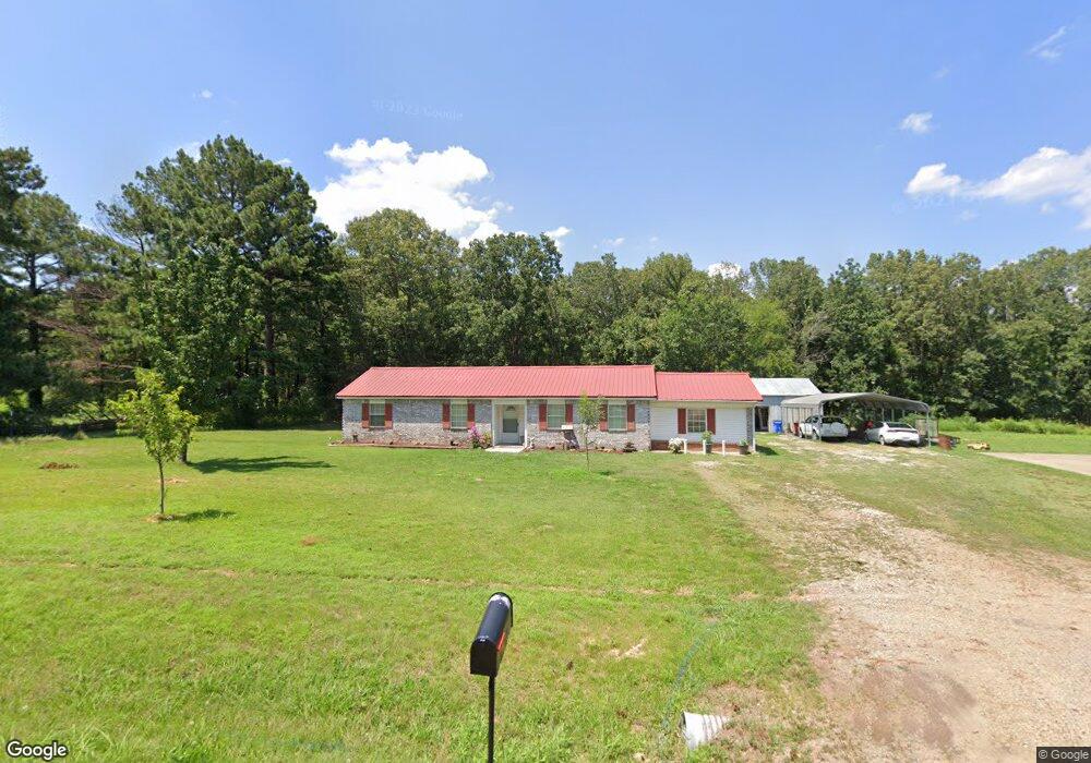
110442 S 4756 Rd Muldrow, OK 74948
Estimated Value: $181,000 - $257,000
3
Beds
2
Baths
1,772
Sq Ft
$126/Sq Ft
Est. Value
About This Home
This home is located at 110442 S 4756 Rd, Muldrow, OK 74948 and is currently estimated at $223,621, approximately $126 per square foot. 110442 S 4756 Rd is a home located in Sequoyah County with nearby schools including Liberty Public School.
Ownership History
Date
Name
Owned For
Owner Type
Purchase Details
Closed on
Jan 20, 2010
Sold by
White Robert E and White Tamae H
Bought by
White Tamae H
Current Estimated Value
Purchase Details
Closed on
Apr 14, 2005
Sold by
White Richard M
Bought by
White Robert E and White Tamae H
Home Financials for this Owner
Home Financials are based on the most recent Mortgage that was taken out on this home.
Original Mortgage
$70,000
Interest Rate
5.78%
Mortgage Type
New Conventional
Create a Home Valuation Report for This Property
The Home Valuation Report is an in-depth analysis detailing your home's value as well as a comparison with similar homes in the area
Home Values in the Area
Average Home Value in this Area
Purchase History
| Date | Buyer | Sale Price | Title Company |
|---|---|---|---|
| White Tamae H | -- | None Available | |
| White Robert E | $70,000 | None Available |
Source: Public Records
Mortgage History
| Date | Status | Borrower | Loan Amount |
|---|---|---|---|
| Previous Owner | White Robert E | $70,000 |
Source: Public Records
Tax History Compared to Growth
Tax History
| Year | Tax Paid | Tax Assessment Tax Assessment Total Assessment is a certain percentage of the fair market value that is determined by local assessors to be the total taxable value of land and additions on the property. | Land | Improvement |
|---|---|---|---|---|
| 2024 | $772 | $11,407 | $1,215 | $10,192 |
| 2023 | $747 | $11,076 | $1,214 | $9,862 |
| 2022 | $700 | $10,753 | $1,213 | $9,540 |
| 2021 | $678 | $10,648 | $1,243 | $9,405 |
| 2020 | $656 | $10,136 | $1,165 | $8,971 |
| 2019 | $635 | $9,840 | $1,120 | $8,720 |
| 2018 | $614 | $9,555 | $1,073 | $8,482 |
| 2017 | $594 | $9,276 | $1,017 | $8,259 |
| 2016 | $575 | $9,006 | $975 | $8,031 |
| 2015 | $556 | $8,743 | $930 | $7,813 |
| 2014 | $466 | $8,490 | $883 | $7,607 |
Source: Public Records
Map
Nearby Homes
- 110907 S 4760 Rd
- 0 N Cottonwood Rd
- 2000 N Cottonwood Rd
- 0000 Cottonwood Rd
- 110662 S 4750 Rd
- 111182 S 4760 Rd
- 407 W Ray Fine Blvd
- 405 W Ray Fine Blvd
- 320 Neal Dr
- 476120 E 1091 Rd
- 400 W Ray Fine Blvd
- 304 Oakdale Rd
- 111587 S 4760 Rd
- TBD W Ray Fine Blvd
- 404 W Ray Fine Blvd
- 511 Mayfield Dr
- 505 Mayfield Dr
- 113 Cherokee Blvd
- 1009 SE 10th St
- 505 Juniper Ln
- 110490 S 4756 Rd
- 215 Mize Loop
- 110481 S 4756 Rd
- 475571 E 1105 Rd
- 110429 S 4757 Rd
- 110583 S 4756 Rd
- 110521 S 4756 Rd
- 110447 S 4757 Rd
- 110601 S 4756 Rd
- 110568 S 4756 Rd
- 110469 S 4757 Rd
- 110532 S 4757 Rd
- 110204 S 4755 Rd
- 110694 S 4756 Rd
- 110527 S 4757 Rd
- 110747 S 4756 Rd
- 110734 S 4756 Rd
- 110795 S 4765 Rd
- 110254 S 4760 Rd
- 110766 S 4756 Rd