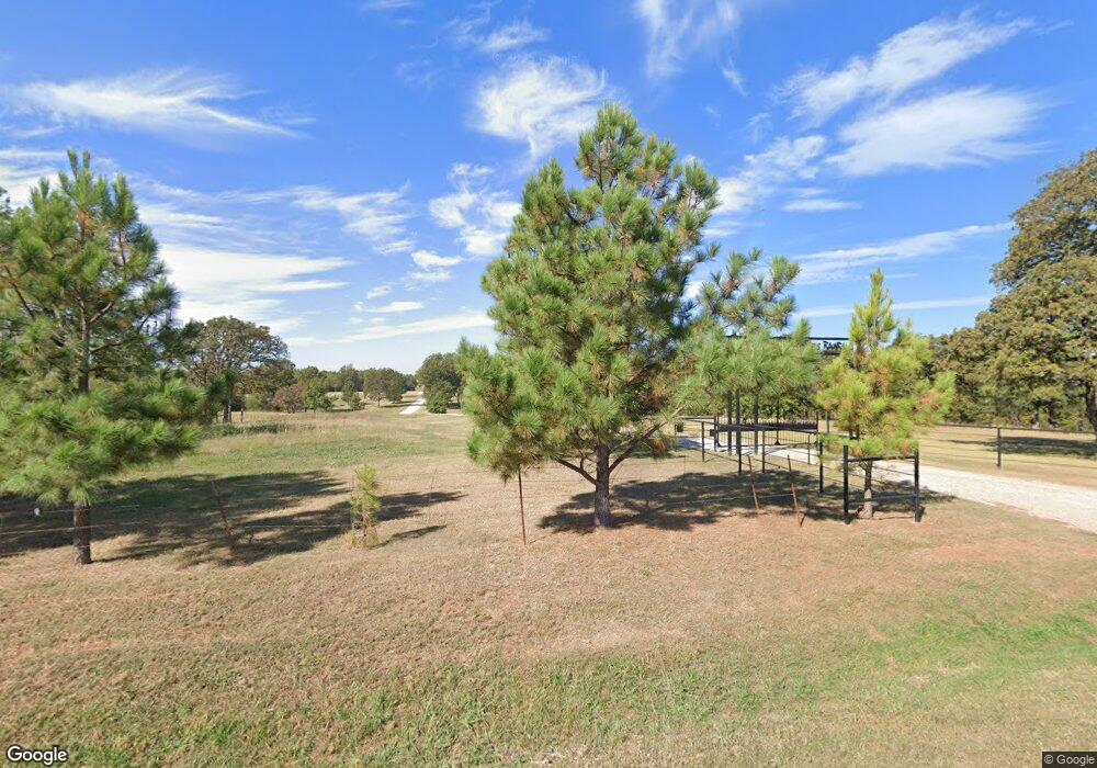
11048 N Kickapoo Ave Shawnee, OK 74804
Estimated Value: $284,818 - $348,000
3
Beds
2
Baths
1,880
Sq Ft
$164/Sq Ft
Est. Value
About This Home
This home is located at 11048 N Kickapoo Ave, Shawnee, OK 74804 and is currently estimated at $308,939, approximately $164 per square foot. 11048 N Kickapoo Ave is a home with nearby schools including Family Of Faith Christian School.
Ownership History
Date
Name
Owned For
Owner Type
Purchase Details
Closed on
Sep 5, 2013
Sold by
Plunkett John A and Plunkett Dorothy C
Bought by
Plunkett John A and Plunkett Dorothy C
Current Estimated Value
Purchase Details
Closed on
Jun 21, 2013
Sold by
Plumbett John A and Plumbett Dorothy C
Bought by
Plumbett John A and Plumbett Dorothy C
Purchase Details
Closed on
Dec 17, 2007
Sold by
Quackenbush Ray Edward
Bought by
Plunkett John A and Plunkett Dorothy
Create a Home Valuation Report for This Property
The Home Valuation Report is an in-depth analysis detailing your home's value as well as a comparison with similar homes in the area
Purchase History
| Date | Buyer | Sale Price | Title Company |
|---|---|---|---|
| Plunkett John A | -- | None Available | |
| Plumbett John A | -- | None Available | |
| Plunkett John A | $230,000 | None Available |
Source: Public Records
Tax History Compared to Growth
Tax History
| Year | Tax Paid | Tax Assessment Tax Assessment Total Assessment is a certain percentage of the fair market value that is determined by local assessors to be the total taxable value of land and additions on the property. | Land | Improvement |
|---|---|---|---|---|
| 2025 | $863 | $9,576 | $1,944 | $7,632 |
| 2023 | $844 | $8,352 | $1,888 | $6,464 |
| 2022 | $834 | $8,352 | $1,888 | $6,464 |
| 2021 | $853 | $8,352 | $1,888 | $6,464 |
| 2020 | $838 | $8,063 | $1,888 | $6,175 |
| 2019 | $851 | $8,232 | $1,888 | $6,344 |
| 2018 | $840 | $8,377 | $1,888 | $6,489 |
| 2017 | $860 | $8,531 | $1,888 | $6,643 |
| 2016 | $723 | $8,676 | $1,888 | $6,788 |
| 2015 | $737 | $8,840 | $1,888 | $6,952 |
| 2014 | $819 | $8,717 | $1,432 | $7,285 |
Source: Public Records
Map
Nearby Homes
- 0 Hazel Dell Rd
- 12 Northwood Dr
- 00 Carefree Lot 6 Blk 1 Ln
- 00 Ln
- 00 Ln
- 00 Ln
- 00 Ln
- 00 Carefree Lot 13 Blk 1 Ln
- 00 Carefree Lot 9 Blk 2 Ln
- 00 Carefree Lot 4 Blk 2 Ln
- 00 Carefree Lot 11 Blk 1 Ln
- 00 Ln
- 00 Ln
- 00 Ln
- 00 Carefree Lot 8 Blk 1 Ln
- 00 Carefree Lot 10 Blk 1 Ln
- 00 Carefree Lot 4 Blk 1 Ln
- 00 Carefree Lot 9 Blk 1 Ln
- 00 Carefree Lot 3 Blk 2 Ln
- 00 Carefree Lot 14 Blk 1 Ln
- 11111 N Kickapoo Ave
- 10812 N Kickapoo Ave
- 11591 N Kickapoo Ave
- 11200 N Kickapoo Ave
- 11501 N Kickapoo Ave
- 1 Northwood Dr
- 10731 N Kickapoo Ave
- 40089 Hazel Dell Rd
- 40075 Hazel Dell Rd
- 00000 Hazel Dell Rd
- 0000 Hazel Dell Rd
- 2 Northwood Dr
- 10700 Corbin Dr
- 5 Northwood Dr
- 7 Northwood Dr
- 10987 N Kickapoo Ave
- 4 Northwood Dr
- 9 Northwood Dr
- 10686 Corbin Dr
- 0 Corbin Dr
