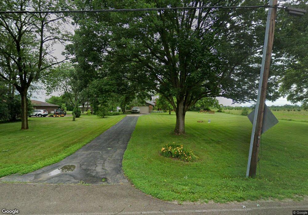
11049 Pansing Rd Brookville, OH 45309
Estimated Value: $348,000 - $361,324
4
Beds
2
Baths
2,283
Sq Ft
$155/Sq Ft
Est. Value
About This Home
This home is located at 11049 Pansing Rd, Brookville, OH 45309 and is currently estimated at $354,331, approximately $155 per square foot. 11049 Pansing Rd is a home located in Montgomery County with nearby schools including Union Elementary School and Northmont High School.
Ownership History
Date
Name
Owned For
Owner Type
Purchase Details
Closed on
Mar 23, 2023
Sold by
Monnin Alan C and Monnin Anita F
Bought by
Monnin Family Trust
Current Estimated Value
Purchase Details
Closed on
Jul 16, 2021
Sold by
Neal Rosemarie and Neal Rosemarie M
Bought by
Monnin Alan and Monnin Anita
Purchase Details
Closed on
Apr 8, 2015
Sold by
Estate Of John R Neal
Bought by
Neal Rosemarie
Create a Home Valuation Report for This Property
The Home Valuation Report is an in-depth analysis detailing your home's value as well as a comparison with similar homes in the area
Home Values in the Area
Average Home Value in this Area
Purchase History
| Date | Buyer | Sale Price | Title Company |
|---|---|---|---|
| Monnin Family Trust | -- | None Listed On Document | |
| Monnin Alan | $288,000 | None Available | |
| Neal Rosemarie | -- | None Available |
Source: Public Records
Tax History Compared to Growth
Tax History
| Year | Tax Paid | Tax Assessment Tax Assessment Total Assessment is a certain percentage of the fair market value that is determined by local assessors to be the total taxable value of land and additions on the property. | Land | Improvement |
|---|---|---|---|---|
| 2024 | $5,578 | $94,970 | $15,390 | $79,580 |
| 2023 | $5,578 | $94,970 | $15,390 | $79,580 |
| 2022 | $5,088 | $66,130 | $10,840 | $55,290 |
| 2021 | $5,103 | $66,130 | $10,840 | $55,290 |
| 2020 | $5,217 | $66,130 | $10,840 | $55,290 |
| 2019 | $4,987 | $57,410 | $10,840 | $46,570 |
| 2018 | $5,000 | $57,410 | $10,840 | $46,570 |
| 2017 | $4,970 | $57,410 | $10,840 | $46,570 |
| 2016 | $3,598 | $50,310 | $10,840 | $39,470 |
| 2015 | $3,309 | $50,310 | $10,840 | $39,470 |
| 2014 | $3,309 | $50,310 | $10,840 | $39,470 |
| 2012 | -- | $53,290 | $10,840 | $42,450 |
Source: Public Records
Map
Nearby Homes
- 7141 Phillipsburg Union Rd
- 9021 N Montgomery County Line Rd
- 5170 Phillipsburg Union Rd
- 8375 N Montgomery County Line Rd
- 11629 Putnam Rd
- 11208 Putnam Rd
- 4832 Phillipsburg Union Rd
- 9527 Sweet Potato Ridge Rd
- 101 Westrock Farm Dr
- 139 Westrock Farm Dr
- 826 W Martindale Rd
- 154 Irongate Dr
- 8530 Talmadge Rd
- 8611 Blue Teal Dr
- 802 Nordhoff Farm Dr
- 7415 Pleasant Plain Rd
- 0 Phillipsburg Union Rd Unit 1027008
- 0 Phillipsburg Union Rd Unit 891267
- 308 Sagebrush Dr
- 6543 Brookville Salem Rd
- 11039 Pansing Rd
- 11052 Pansing Rd
- 11022 Pansing Rd
- 11076 Pansing Rd
- 11100 Pansing Rd
- 7031 Phillipsburg Union Rd
- 7079 Phillipsburg Union Rd
- 11012 Pansing Rd
- 11126 Pansing Rd
- 7017 Phillipsburg Union Rd
- 11146 Pansing Rd
- 6981 Phillipsburg Union Rd
- 11178 Pansing Rd
- 6961 Phillipsburg Union Rd
- 7088 Phillipsburg Union Rd
- 7060 Phillipsburg Union Rd
- 7010 Phillipsburg Union Rd
- 6994 Phillipsburg Union Rd
- 11228 Pansing Rd
- 6947 Phillipsburg Union Rd