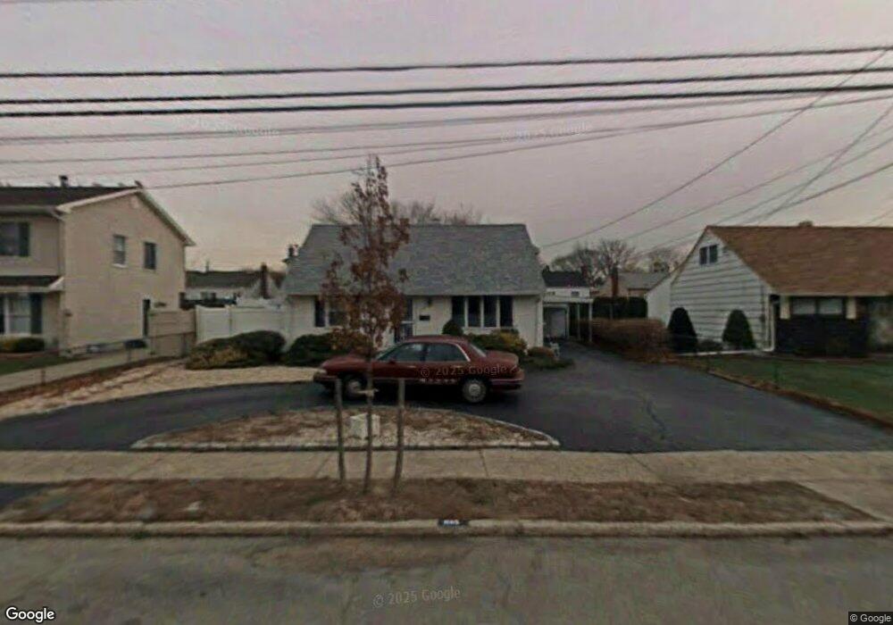
1105 Ava Rd Merrick, NY 11566
Estimated Value: $830,000 - $846,225
4
Beds
3
Baths
2,319
Sq Ft
$361/Sq Ft
Est. Value
About This Home
This home is located at 1105 Ava Rd, Merrick, NY 11566 and is currently estimated at $838,113, approximately $361 per square foot. 1105 Ava Rd is a home located in Nassau County with nearby schools including Merrick Avenue Middle School, Sanford H Calhoun High School, and Sacred Heart School.
Ownership History
Date
Name
Owned For
Owner Type
Purchase Details
Closed on
Sep 1, 2016
Sold by
Herman Charles and Herman Ruby Jane
Bought by
Cespedes Edward A
Current Estimated Value
Home Financials for this Owner
Home Financials are based on the most recent Mortgage that was taken out on this home.
Original Mortgage
$339,150
Outstanding Balance
$269,427
Interest Rate
3.43%
Mortgage Type
New Conventional
Estimated Equity
$568,686
Create a Home Valuation Report for This Property
The Home Valuation Report is an in-depth analysis detailing your home's value as well as a comparison with similar homes in the area
Home Values in the Area
Average Home Value in this Area
Purchase History
| Date | Buyer | Sale Price | Title Company |
|---|---|---|---|
| Cespedes Edward A | $399,000 | None Available | |
| Cespedes Edward A | $399,000 | None Available | |
| Cespedes Edward A | $399,000 | None Available | |
| Cespedes Edward A | $399,000 | None Available |
Source: Public Records
Mortgage History
| Date | Status | Borrower | Loan Amount |
|---|---|---|---|
| Open | Cespedes Edward A | $339,150 | |
| Closed | Cespedes Edward A | $339,150 |
Source: Public Records
Tax History
| Year | Tax Paid | Tax Assessment Tax Assessment Total Assessment is a certain percentage of the fair market value that is determined by local assessors to be the total taxable value of land and additions on the property. | Land | Improvement |
|---|---|---|---|---|
| 2025 | $6,447 | $222 | $189 | $33 |
| 2024 | $3,500 | $467 | $170 | $297 |
| 2023 | $12,863 | $494 | $181 | $313 |
| 2022 | $12,863 | $518 | $189 | $329 |
| 2021 | $18,381 | $510 | $186 | $324 |
| 2020 | $13,610 | $736 | $461 | $275 |
| 2019 | $13,734 | $711 | $480 | $231 |
| 2018 | $12,499 | $711 | $0 | $0 |
| 2017 | $4,957 | $711 | $480 | $231 |
| 2016 | $8,251 | $711 | $430 | $281 |
| 2015 | $2,896 | $711 | $430 | $281 |
| 2014 | $2,896 | $711 | $430 | $281 |
| 2013 | $3,054 | $793 | $480 | $313 |
Source: Public Records
Map
Nearby Homes
- 1425 Jerusalem Ave Unit 7
- 1277 Jerusalem Ave
- 1259 Jerusalem Ave
- 1543 William St
- 1355 Sally Ct
- 908 Maple Ln
- 1330 Bea Ct
- 1817 Gardenia Ave
- 867 Preston Rd
- 1083 Northgate Ct
- 861 Maple Ln
- 614 Bond Ct
- 20 Iris Ave
- 840 Jerusalem Ave
- 1844 Old Mill Rd
- 626 Winthrop Dr
- 101 Northridge Ave
- 539 Mitchell St
- 25 Old Mill Rd
- 721 Martin Dr
Your Personal Tour Guide
Ask me questions while you tour the home.