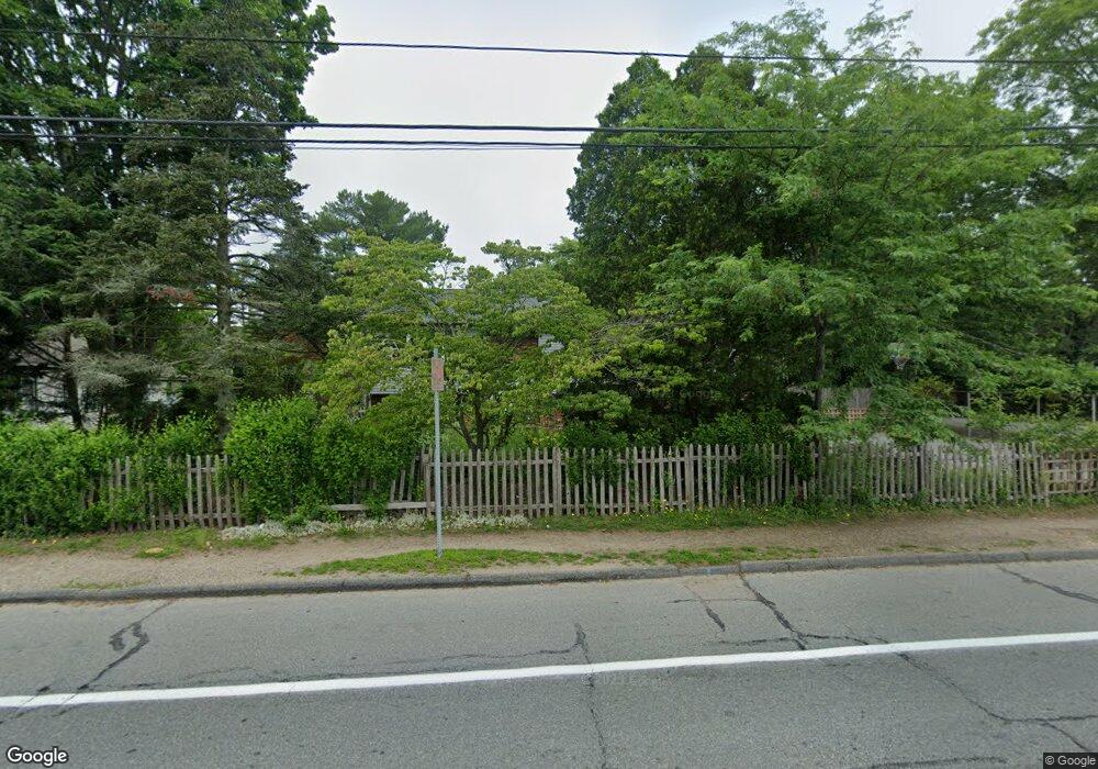
1105 Braley Rd New Bedford, MA 02745
Estimated Value: $407,000 - $463,844
3
Beds
3
Baths
1,136
Sq Ft
$391/Sq Ft
Est. Value
About This Home
This home is located at 1105 Braley Rd, New Bedford, MA 02745 and is currently estimated at $443,961, approximately $390 per square foot. 1105 Braley Rd is a home located in Bristol County with nearby schools including Casimir Pulaski Elementary School, Normandin Middle School, and New Bedford High School.
Create a Home Valuation Report for This Property
The Home Valuation Report is an in-depth analysis detailing your home's value as well as a comparison with similar homes in the area
Home Values in the Area
Average Home Value in this Area
Tax History
| Year | Tax Paid | Tax Assessment Tax Assessment Total Assessment is a certain percentage of the fair market value that is determined by local assessors to be the total taxable value of land and additions on the property. | Land | Improvement |
|---|---|---|---|---|
| 2025 | $5,104 | $451,300 | $192,100 | $259,200 |
| 2024 | $5,047 | $420,600 | $181,200 | $239,400 |
| 2023 | $5,344 | $374,000 | $153,000 | $221,000 |
| 2022 | $5,159 | $332,000 | $153,000 | $179,000 |
| 2021 | $4,937 | $316,700 | $150,000 | $166,700 |
| 2020 | $4,913 | $304,000 | $150,000 | $154,000 |
| 2019 | $4,893 | $297,100 | $150,000 | $147,100 |
| 2018 | $4,778 | $287,300 | $150,000 | $137,300 |
| 2017 | $4,475 | $268,100 | $147,000 | $121,100 |
| 2016 | $4,154 | $251,900 | $135,000 | $116,900 |
| 2015 | $3,843 | $244,300 | $132,000 | $112,300 |
| 2014 | $3,684 | $243,000 | $135,000 | $108,000 |
Source: Public Records
Map
Nearby Homes
- 34 Poplar Rd
- 145 Heritage Dr
- SS Charbonneau Ln
- 898 Tobey St
- 1475 Braley Rd Unit 21
- 1475 Braley Rd Unit 17
- 1471 Braley Rd Unit 4
- 973 Pembroke St
- 1575 Braley Rd Unit 28
- WS Phillips Rd
- ES Phillips Rd
- 78 Greenbrier Dr
- 765 Pine Hill Dr
- 4597 Acushnet Ave
- 1015 Forbes St
- 40 Foley Dr
- 0 Keene Rd Unit 73459818
- ES Acushnet Ave
- 168 Keene Rd
- 56 Chipaway Rd
Your Personal Tour Guide
Ask me questions while you tour the home.