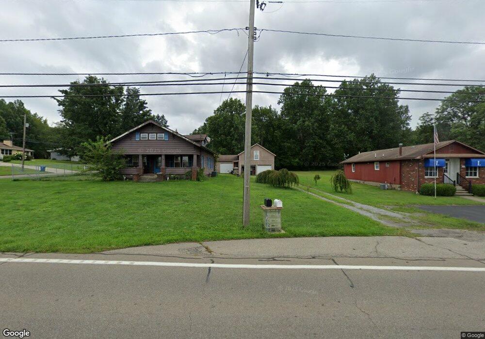
1105 Brookfield Rd Hubbard, OH 44425
Estimated Value: $288,832 - $367,000
3
Beds
3
Baths
2,736
Sq Ft
$115/Sq Ft
Est. Value
About This Home
This home is located at 1105 Brookfield Rd, Hubbard, OH 44425 and is currently estimated at $315,958, approximately $115 per square foot. 1105 Brookfield Rd is a home located in Trumbull County with nearby schools including Brookfield Elementary School, Brookfield Middle School, and Brookfield High School.
Ownership History
Date
Name
Owned For
Owner Type
Purchase Details
Closed on
Jun 3, 2016
Sold by
Matthews Charles and Matthews Lisa
Bought by
Jaimie Cornell Iii William G and Jaimie Meixelbertger
Current Estimated Value
Home Financials for this Owner
Home Financials are based on the most recent Mortgage that was taken out on this home.
Original Mortgage
$95,200
Outstanding Balance
$59,534
Interest Rate
3.61%
Mortgage Type
New Conventional
Estimated Equity
$256,424
Purchase Details
Closed on
Jan 1, 1990
Bought by
Charles Matthews
Create a Home Valuation Report for This Property
The Home Valuation Report is an in-depth analysis detailing your home's value as well as a comparison with similar homes in the area
Home Values in the Area
Average Home Value in this Area
Purchase History
| Date | Buyer | Sale Price | Title Company |
|---|---|---|---|
| Jaimie Cornell Iii William G | $119,000 | None Available | |
| Charles Matthews | -- | -- |
Source: Public Records
Mortgage History
| Date | Status | Borrower | Loan Amount |
|---|---|---|---|
| Open | Jaimie Cornell Iii William G | $95,200 |
Source: Public Records
Tax History Compared to Growth
Tax History
| Year | Tax Paid | Tax Assessment Tax Assessment Total Assessment is a certain percentage of the fair market value that is determined by local assessors to be the total taxable value of land and additions on the property. | Land | Improvement |
|---|---|---|---|---|
| 2024 | $2,863 | $61,010 | $6,090 | $54,920 |
| 2023 | $2,863 | $61,010 | $6,090 | $54,920 |
| 2022 | $2,668 | $46,100 | $5,640 | $40,460 |
| 2021 | $2,503 | $46,100 | $5,640 | $40,460 |
| 2020 | $2,488 | $46,100 | $5,640 | $40,460 |
| 2019 | $2,393 | $41,340 | $5,220 | $36,120 |
| 2018 | $2,372 | $41,340 | $5,220 | $36,120 |
| 2017 | $2,369 | $41,340 | $5,220 | $36,120 |
| 2016 | $2,984 | $50,090 | $5,640 | $44,450 |
| 2015 | $2,990 | $50,090 | $5,640 | $44,450 |
| 2014 | $2,976 | $50,090 | $5,640 | $44,450 |
| 2013 | $3,118 | $53,450 | $5,640 | $47,810 |
Source: Public Records
Map
Nearby Homes
- 6855 Stewart Sharon Rd
- 887 State Route 7 SE
- 7182 Stewart Sharon Rd
- 7440 Stewart Sharon Rd
- 7111 Pine Grove Dr
- 1354 Stevenson Rd
- 6976 White Oak Dr
- 6984 Warren Sharon Rd
- 7086 Warren Sharon Rd
- 7091 Warren Sharon Rd
- 1511 Cullinan Ave
- 7085 Sunnydell Dr
- 7290 Lee Rd NE
- 1952 Hubbard Masury Rd
- 6130 Warren Sharon Rd
- 209 Wyngate Dr
- 365 Brookfield Ave
- 872 Yankee Run Rd
- 1212 State Route 7 NE
- 705 S State Line Rd
- 1103 Brookfield Rd
- 6899 Stewart Sharon Rd
- 1114 State Route 7 NE
- 1114 Ohio 7
- 1129 Brookfield Rd
- 6978 Stewart Sharon Rd
- 1124 State Route 7 NE
- 1166 Brookfield Rd
- 6904 Stewart Sharon Rd
- 1063 State Route 7 SE
- 6975 Stewart Sharon Rd
- 6824 Stewart Sharon Rd
- 6880 Stewart Sharon Rd
- 6866 Stewart Sharon Rd
- 6852 Stewart Sharon Rd
- 6899 Stewart Sharon Rd
- 1149 Brookfield Rd
- 6891 Stewart Sharon Rd
- 6949 Stewart Sharon Rd
- 1163 State Route 7 NE