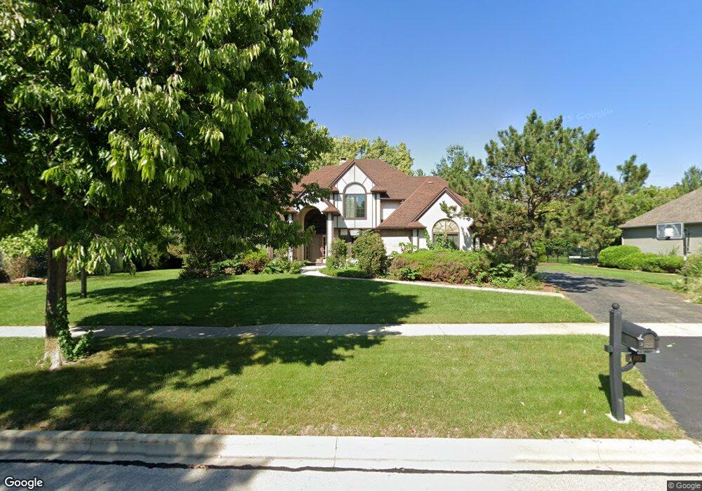
1105 Edwards Dr Batavia, IL 60510
Southeast Batavia NeighborhoodEstimated Value: $549,641 - $680,000
4
Beds
4
Baths
2,662
Sq Ft
$228/Sq Ft
Est. Value
About This Home
This home is located at 1105 Edwards Dr, Batavia, IL 60510 and is currently estimated at $606,410, approximately $227 per square foot. 1105 Edwards Dr is a home located in Kane County with nearby schools including Hoover Wood Elementary School, Sam Rotolo Middle School, and Batavia Sr High School.
Ownership History
Date
Name
Owned For
Owner Type
Purchase Details
Closed on
Aug 31, 2010
Sold by
Thomas Paul and Thomas Jackie
Bought by
Marino Morris G and Marino Elaine M
Current Estimated Value
Home Financials for this Owner
Home Financials are based on the most recent Mortgage that was taken out on this home.
Original Mortgage
$229,500
Outstanding Balance
$152,313
Interest Rate
4.54%
Mortgage Type
New Conventional
Estimated Equity
$454,097
Purchase Details
Closed on
Sep 20, 1999
Sold by
Jarnell Edward F and Jarnell Velda J
Bought by
Thomas Paul A and Thomas Jackie
Home Financials for this Owner
Home Financials are based on the most recent Mortgage that was taken out on this home.
Original Mortgage
$270,000
Interest Rate
8.21%
Create a Home Valuation Report for This Property
The Home Valuation Report is an in-depth analysis detailing your home's value as well as a comparison with similar homes in the area
Home Values in the Area
Average Home Value in this Area
Purchase History
| Date | Buyer | Sale Price | Title Company |
|---|---|---|---|
| Marino Morris G | $270,000 | Multiple | |
| Thomas Paul A | $306,000 | Chicago Title Insurance Co |
Source: Public Records
Mortgage History
| Date | Status | Borrower | Loan Amount |
|---|---|---|---|
| Open | Marino Morris G | $229,500 | |
| Previous Owner | Thomas Paul A | $270,000 |
Source: Public Records
Tax History
| Year | Tax Paid | Tax Assessment Tax Assessment Total Assessment is a certain percentage of the fair market value that is determined by local assessors to be the total taxable value of land and additions on the property. | Land | Improvement |
|---|---|---|---|---|
| 2024 | $11,636 | $156,741 | $19,907 | $136,834 |
| 2023 | $11,398 | $142,259 | $18,068 | $124,191 |
| 2022 | $10,402 | $125,125 | $16,886 | $108,239 |
| 2021 | $9,988 | $118,670 | $16,015 | $102,655 |
| 2020 | $9,742 | $116,389 | $15,707 | $100,682 |
| 2019 | $9,584 | $112,269 | $15,151 | $97,118 |
| 2018 | $9,202 | $107,993 | $14,574 | $93,419 |
| 2017 | $8,980 | $104,431 | $14,093 | $90,338 |
| 2016 | $8,789 | $101,390 | $13,683 | $87,707 |
| 2015 | -- | $99,081 | $13,371 | $85,710 |
| 2014 | -- | $95,962 | $12,950 | $83,012 |
| 2013 | -- | $97,670 | $16,278 | $81,392 |
Source: Public Records
Map
Nearby Homes
- 1017 Edwards Dr
- 1115 Edwards Dr
- 1104 Edwards Dr
- 1108 Edwards Dr
- 1016 Edwards Dr
- 2S525 S Raddant Rd
- 1507 Flag Day Dr
- 1121 Edwards Dr
- 1107 Schiedler Dr
- 1103 Schiedler Dr
- 1006 Edwards Dr
- 1019 Schiedler Dr
- 1500 Flag Day Dr
- 1515 Flag Day Dr
- 1506 Flag Day Dr
- 1015 Schiedler Dr
- 1002 Edwards Dr
- 1227 Beckman Ln
- 1007 Schiedler Dr
- 1512 Flag Day Dr
Your Personal Tour Guide
Ask me questions while you tour the home.