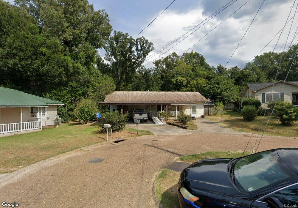
1105 First St Natchez, MS 39120
Estimated Value: $102,000 - $115,000
Studio
--
Bath
1,325
Sq Ft
$82/Sq Ft
Est. Value
About This Home
This home is located at 1105 First St, Natchez, MS 39120 and is currently estimated at $108,298, approximately $81 per square foot. 1105 First St is a home located in Adams County with nearby schools including McLaurin Elementary School, Susie B. West Primary School, and Joseph L. Frazier Primary School.
Ownership History
Date
Name
Owned For
Owner Type
Purchase Details
Closed on
Oct 5, 2009
Sold by
White Boyd and White Pamela M
Bought by
White
Current Estimated Value
Purchase Details
Closed on
Mar 27, 2008
Sold by
White Boyd and White Pamela M
Bought by
White
Home Financials for this Owner
Home Financials are based on the most recent Mortgage that was taken out on this home.
Original Mortgage
$200,000
Interest Rate
6.22%
Create a Home Valuation Report for This Property
The Home Valuation Report is an in-depth analysis detailing your home's value as well as a comparison with similar homes in the area
Purchase History
| Date | Buyer | Sale Price | Title Company |
|---|---|---|---|
| White | -- | -- | |
| White | -- | -- |
Source: Public Records
Mortgage History
| Date | Status | Borrower | Loan Amount |
|---|---|---|---|
| Previous Owner | White | $200,000 |
Source: Public Records
Tax History
| Year | Tax Paid | Tax Assessment Tax Assessment Total Assessment is a certain percentage of the fair market value that is determined by local assessors to be the total taxable value of land and additions on the property. | Land | Improvement |
|---|---|---|---|---|
| 2025 | $1,062 | $9,146 | $0 | $0 |
| 2024 | $897 | $7,144 | $0 | $0 |
| 2023 | $897 | $7,115 | $400 | $6,715 |
| 2022 | $830 | $7,144 | $0 | $0 |
| 2021 | $725 | $7,144 | $0 | $0 |
| 2019 | $725 | $6,244 | $0 | $0 |
| 2018 | $725 | $6,244 | $0 | $0 |
| 2017 | $0 | $6,244 | $0 | $0 |
| 2016 | $0 | $6,022 | $0 | $0 |
| 2015 | -- | $6,022 | $0 | $0 |
| 2014 | -- | $6,022 | $0 | $0 |
Source: Public Records
Map
Nearby Homes
- 401 Brooklyn Dr
- 1235 Magnolia Ave
- 108 Dixie Dr
- 100 Brookfield Dr
- 2152 Second St
- 405 Oakland Dr
- 723 Morgan Ave
- 114 Mount Carmel Dr
- 802 Morgan Ave
- 1233 Horseshoe Dr
- 110 Cottage Dr
- 305 Cottage Dr
- 0 Enterprise Dr
- 8 Newman Rd
- 121 Oak Hill Dr
- 116 Oak Hill Dr
- 00 Bluff Hills Place
- 0 Ruby Dr Unit 4138245
- 0 Ruby Dr Unit 4138291
- 0 Triplett Dr
- 1103 First St
- 1103 Fir St
- 1107 First St
- 1115 Magnolia Ave
- 1113 Magnolia Ave
- 1117 Magnolia Ave
- 203 Brooklyn Dr
- 205 Brooklyn Dr
- 1106 First St
- 1104 First St
- 201 Brooklyn Dr
- 303 Brooklyn Dr
- 1110 Magnolia Ave
- 1116 Magnolia Ave
- 202 Brooklyn Dr
- 204 Brooklyn Dr
- 2109 Second St
- 111 Brooklyn Dr
- 2105 Second St
- 200 Brooklyn Dr
Your Personal Tour Guide
Ask me questions while you tour the home.