1105 Governor Prence Rd Eastham, MA 02642
Estimated Value: $775,000 - $1,314,000
About This Home
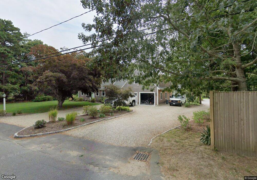
This home is located at 1105 Governor Prence Rd, Eastham, MA 02642 and is currently estimated at $1,072,614, approximately $613 per square foot. 1105 Governor Prence Rd is a home located in Barnstable County with nearby schools including Eastham Elementary School, Nauset Regional Middle School, and Nauset Regional High School.
Ownership History
We collect this data history from publicly available records. To have your information removed, we recommend requesting removal directly through your county’s website.
Purchase Details
Purchase Details
Home Financials for this Owner
Home Financials are based on the most recent Mortgage that was taken out on this home.Home Values in the Area
Average Home Value in this Area
Purchase History
We collect this data history from publicly available records. To have your information removed, we recommend requesting removal directly through your county’s website.
| Date | Buyer | Sale Price | Title Company |
|---|---|---|---|
| $106,500 | -- | ||
| $125,000 | -- |
Mortgage History
We collect this data history from publicly available records. To have your information removed, we recommend requesting removal directly through your county’s website.
| Date | Status | Borrower | Loan Amount |
|---|---|---|---|
| Previous Owner | $94,000 | ||
| Previous Owner | $100,000 |
Tax History
We collect this data history from publicly available records. To have your information removed, we recommend requesting removal directly through your county’s website.
| Year | Tax Paid | Tax Assessment Tax Assessment Total Assessment is a certain percentage of the fair market value that is determined by local assessors to be the total taxable value of land and additions on the property. | Land | Improvement |
|---|---|---|---|---|
| 2025 | $8,566 | $1,111,000 | $311,000 | $800,000 |
| 2024 | $6,542 | $933,200 | $301,900 | $631,300 |
| 2023 | $5,762 | $795,800 | $251,600 | $544,200 |
| 2022 | $5,248 | $611,700 | $224,700 | $387,000 |
| 2021 | $4,808 | $523,700 | $185,600 | $338,100 |
| 2020 | $3,741 | $429,000 | $189,500 | $239,500 |
| 2019 | $3,437 | $416,600 | $184,000 | $232,600 |
| 2018 | $3,378 | $404,600 | $178,600 | $226,000 |
| 2017 | $3,133 | $396,600 | $175,100 | $221,500 |
| 2016 | $3,068 | $412,300 | $194,600 | $217,700 |
| 2015 | $2,862 | $403,100 | $190,700 | $212,400 |
Map
- 10 Cartway N
- 655 Herring Brook Rd
- 40 Bayview Rd
- 385 Bridge Rd
- 785 State Hwy Unit 9
- 1061 State Hwy Unit 4
- 1061 State Hwy Unit 1061
- 704 State Hwy
- 20 Priscilla Cir
- 480 Dyer Prince Rd
- 339 Dyer Prince Rd
- 20 Stone Ct
- 20 Kittiwake Ln
- 12 Settlers Trace
- 25 Twin Rocks Dr
- 181 Rock Harbor Rd
- 1975 State Hwy Unit 1
- 1975 State Hwy Unit 9
- 60 Smith Heights Way
- 163 Samoset Rd
- 1125 Governor Prence Rd
- 40 Kerry Ln
- 1050 Bridge Rd
- 1085 Governor Prence Rd
- 35 Kerry Ln
- 30 Kerry Ln
- 1020 Bridge Rd
- 35 Governor Bradford Rd
- 1100 Bridge Rd
- 25 Governor Bradford Rd
- 25 Kerry Ln
- 1065 Governor Prence Rd
- 20 Kerry Ln
- 1080 Governor Prence Rd
- 1055 Bridge Rd
- 20 Blue Bill Ln
- 125 Ireland Way
- 15 Kerry Ln
- 1130 Bridge Rd
- 1075 Bridge Rd
Ask me questions while you tour the home.