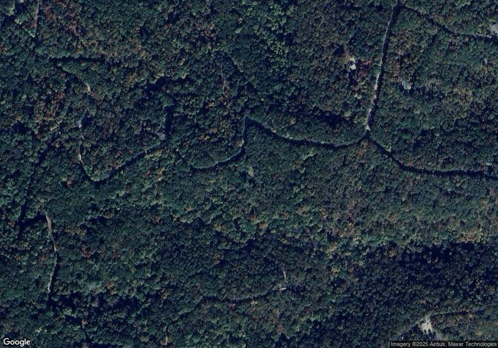
1105 Mayfield Ln NE Ranger, GA 30734
Estimated Value: $179,381 - $250,000
2
Beds
1
Bath
1,056
Sq Ft
$212/Sq Ft
Est. Value
About This Home
This home is located at 1105 Mayfield Ln NE, Ranger, GA 30734 and is currently estimated at $223,595, approximately $211 per square foot. 1105 Mayfield Ln NE is a home located in Gordon County with nearby schools including Fairmount Elementary School, Red Bud Middle School, and Sonoraville High School.
Ownership History
Date
Name
Owned For
Owner Type
Purchase Details
Closed on
Apr 28, 2017
Sold by
Miles Ray V
Bought by
Baker Steve L and Baker Sharon
Current Estimated Value
Purchase Details
Closed on
Apr 19, 2017
Sold by
Grizzle David M
Bought by
Miles Ray V and Miles Connie U
Purchase Details
Closed on
Apr 18, 2017
Sold by
Grizzle Richard M
Bought by
Miles Ray V and Miles Connie U
Purchase Details
Closed on
Apr 24, 2008
Sold by
Barbara C Humphery
Bought by
Richard M Grizzle and Richard David M Gr
Create a Home Valuation Report for This Property
The Home Valuation Report is an in-depth analysis detailing your home's value as well as a comparison with similar homes in the area
Home Values in the Area
Average Home Value in this Area
Purchase History
| Date | Buyer | Sale Price | Title Company |
|---|---|---|---|
| Baker Steve L | $52,000 | -- | |
| Miles Ray V | -- | -- | |
| Miles Ray V | -- | -- | |
| Richard M Grizzle | -- | -- | |
| Barbara C Humphery | -- | -- |
Source: Public Records
Tax History Compared to Growth
Tax History
| Year | Tax Paid | Tax Assessment Tax Assessment Total Assessment is a certain percentage of the fair market value that is determined by local assessors to be the total taxable value of land and additions on the property. | Land | Improvement |
|---|---|---|---|---|
| 2024 | $1,059 | $43,680 | $2,120 | $41,560 |
| 2023 | $939 | $38,960 | $2,040 | $36,920 |
| 2022 | $888 | $34,880 | $1,920 | $32,960 |
| 2021 | $742 | $28,480 | $1,920 | $26,560 |
| 2020 | $762 | $28,600 | $1,920 | $26,680 |
| 2019 | $824 | $28,600 | $1,920 | $26,680 |
| 2018 | $599 | $26,280 | $1,920 | $24,360 |
| 2017 | $766 | $25,840 | $3,000 | $22,840 |
| 2016 | $726 | $24,440 | $1,600 | $22,840 |
| 2015 | $708 | $23,600 | $1,600 | $22,000 |
| 2014 | $645 | $22,142 | $1,600 | $20,542 |
Source: Public Records
Map
Nearby Homes
- 1005 Mayfield Ln NE
- 1071 Mayfield Ln NE
- 1063 Mayfield Ln NE
- Lt 1227 Hilton Dr Unit 1227
- 1219 Hilton Dr
- 1099 Hilton Dr
- Lt 1227 Hilton Dr
- 1218 Hilton Dr
- 1088 Mayfield Ln NE
- 1087 Mayfield Ln NE
- 1020 Mayfield Ln NE
- 1058 Mayfield Ln NE
- 1096 Gable Dr
- 1094 Mayfield Ln NE
- 1231 Crown Ct
- 1233 Crown Ct
- 1200 Jewel Ct NE
- 1176 Jewel Ct NE
- 1206 Jewel Ct NE
- 1059 Mayfield Ln NE
- 1105 Mayfield Ln NE
- 1104 Mayfield Ln NE
- 1067 Mayfield Ln NE
- 1053 Mayfield Ln NE
- 1069 Mayfield Ln NE
- 1054 Mayfield Ln NE Unit 34
- 1054 Mayfield Ln NE
- 1055 Mayfield Ln NE Unit 34
- 1055 Mayfield Ln NE
- 1065 Mayfield Ln NE
- 1226 Hilton Dr
- 1216 Hilton
- 1064 Mayfield Ln NE
- 1072 Mayfield Ln NE
- 1002 Raccoon Ridge NE
- 1001 Racoon Ridge Rd Unit 1000, 1001
- 1001 Racoon Ridge
- 1225 Hilton Dr
- 00 Hilton Dr
- 1229 Hilton Dr
