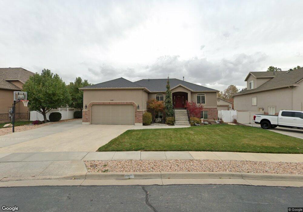
1105 N 640 W West Bountiful, UT 84087
Estimated Value: $547,000 - $831,000
3
Beds
3
Baths
3,800
Sq Ft
$187/Sq Ft
Est. Value
About This Home
This home is located at 1105 N 640 W, West Bountiful, UT 84087 and is currently estimated at $712,206, approximately $187 per square foot. 1105 N 640 W is a home located in Davis County with nearby schools including West Bountiful Elementary School, Bountiful Junior High School, and Viewmont High School.
Ownership History
Date
Name
Owned For
Owner Type
Purchase Details
Closed on
Jan 22, 2021
Sold by
Preece Vonda
Bought by
Preece Vonda and Vonda Preece Family Living Tru
Current Estimated Value
Home Financials for this Owner
Home Financials are based on the most recent Mortgage that was taken out on this home.
Original Mortgage
$264,100
Outstanding Balance
$235,544
Interest Rate
2.67%
Mortgage Type
New Conventional
Estimated Equity
$476,662
Purchase Details
Closed on
Jul 20, 2011
Sold by
Preece Vonda
Bought by
Preece Vonda and Vonda Preece Family Living Trust
Purchase Details
Closed on
Jun 14, 2011
Sold by
Preece Vonda
Bought by
Preece Vonda
Purchase Details
Closed on
May 24, 2011
Sold by
Meads Floyd E
Bought by
Preece Vonda
Purchase Details
Closed on
Apr 6, 2007
Sold by
Kirkland Dale and Kirkland Anne
Bought by
Meads Floyd E and Preece Vonda
Home Financials for this Owner
Home Financials are based on the most recent Mortgage that was taken out on this home.
Original Mortgage
$125,000
Interest Rate
6.2%
Mortgage Type
Purchase Money Mortgage
Purchase Details
Closed on
Dec 28, 2004
Sold by
Packer Matthew and Packer Corinne
Bought by
Kirkland Dale and Kirkland Anne
Home Financials for this Owner
Home Financials are based on the most recent Mortgage that was taken out on this home.
Original Mortgage
$57,800
Interest Rate
5.74%
Mortgage Type
Stand Alone Second
Purchase Details
Closed on
Sep 23, 2003
Sold by
Triples Development Inc
Bought by
Packer Matthew and Packer Corinne
Home Financials for this Owner
Home Financials are based on the most recent Mortgage that was taken out on this home.
Original Mortgage
$208,000
Interest Rate
6.17%
Mortgage Type
Construction
Create a Home Valuation Report for This Property
The Home Valuation Report is an in-depth analysis detailing your home's value as well as a comparison with similar homes in the area
Home Values in the Area
Average Home Value in this Area
Purchase History
| Date | Buyer | Sale Price | Title Company |
|---|---|---|---|
| Preece Vonda | -- | American Secure Title | |
| Preece Vonda | -- | American Secure Title | |
| Preece Vonda | -- | None Available | |
| Preece Vonda | -- | Founders Title Co S | |
| Preece Vonda | -- | Founders Title Co S | |
| Meads Floyd E | -- | Aspen Title Insurance Agency | |
| Kirkland Dale | -- | None Available | |
| Packer Matthew | -- | Aspen Title Insurance Agency |
Source: Public Records
Mortgage History
| Date | Status | Borrower | Loan Amount |
|---|---|---|---|
| Open | Preece Vonda | $264,100 | |
| Previous Owner | Meads Floyd E | $125,000 | |
| Previous Owner | Kirkland Dale | $57,800 | |
| Previous Owner | Packer Matthew | $208,000 |
Source: Public Records
Tax History Compared to Growth
Tax History
| Year | Tax Paid | Tax Assessment Tax Assessment Total Assessment is a certain percentage of the fair market value that is determined by local assessors to be the total taxable value of land and additions on the property. | Land | Improvement |
|---|---|---|---|---|
| 2025 | $4,418 | $382,800 | $156,962 | $225,838 |
| 2024 | $4,129 | $365,750 | $129,579 | $236,171 |
| 2023 | $4,306 | $703,000 | $241,543 | $461,457 |
| 2022 | $4,399 | $402,051 | $118,718 | $283,333 |
| 2021 | $4,139 | $581,000 | $165,596 | $415,404 |
| 2020 | $3,742 | $519,000 | $149,360 | $369,640 |
| 2019 | $3,739 | $513,000 | $147,376 | $365,624 |
| 2018 | $3,696 | $500,000 | $142,598 | $357,402 |
| 2016 | $3,260 | $238,865 | $42,294 | $196,571 |
| 2015 | $3,369 | $234,685 | $42,294 | $192,391 |
| 2014 | $2,776 | $197,031 | $42,294 | $154,737 |
| 2013 | -- | $165,009 | $51,815 | $113,194 |
Source: Public Records
Map
Nearby Homes
- 825 W 1320 N
- 790 N 500 W
- 366 W 1000 N
- 637 W 1600 N
- Lincoln Farmhouse Plan at Belmont Farms
- Belmont Traditional Plan at Belmont Farms
- Hampton Traditional Plan at Belmont Farms
- 1503 N 300 W
- 235 W 1400 N
- 340 N 500 W Unit 204
- 1194 N 200 W
- 399 W 400 N Unit 47
- 184 Park Shadows Cir
- 1260 N 200 W
- 1410 N 200 W
- 553 N 200 W
- 767 W 220 N
- 499 N 200 W Unit 30
- 499 N 200 W Unit 19
- 810 Park Shadows Cir