Estimated Value: $72,000 - $99,000
3
Beds
1
Bath
1,142
Sq Ft
$76/Sq Ft
Est. Value
About This Home
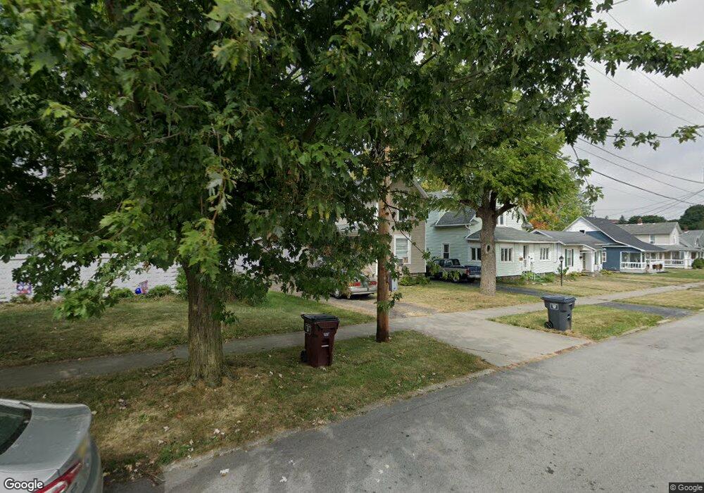
This home is located at 1105 N Elizabeth St, Lima, OH 45801 and is currently estimated at $86,391, approximately $75 per square foot. 1105 N Elizabeth St is a home located in Allen County with nearby schools including Independence Elementary School, Lima North Middle School, and Lima West Middle School.
Ownership History
Date
Name
Owned For
Owner Type
Purchase Details
Closed on
Sep 9, 1999
Sold by
Piper Mae
Bought by
Ambrister Joshua and Ambrister Sandra
Current Estimated Value
Home Financials for this Owner
Home Financials are based on the most recent Mortgage that was taken out on this home.
Original Mortgage
$40,000
Interest Rate
7.77%
Mortgage Type
New Conventional
Purchase Details
Closed on
Aug 24, 1989
Bought by
Piper Mae E
Create a Home Valuation Report for This Property
The Home Valuation Report is an in-depth analysis detailing your home's value as well as a comparison with similar homes in the area
Home Values in the Area
Average Home Value in this Area
Purchase History
| Date | Buyer | Sale Price | Title Company |
|---|---|---|---|
| Ambrister Joshua | $18,500 | -- | |
| Piper Mae E | -- | -- |
Source: Public Records
Mortgage History
| Date | Status | Borrower | Loan Amount |
|---|---|---|---|
| Closed | Ambrister Joshua | $40,000 |
Source: Public Records
Tax History Compared to Growth
Tax History
| Year | Tax Paid | Tax Assessment Tax Assessment Total Assessment is a certain percentage of the fair market value that is determined by local assessors to be the total taxable value of land and additions on the property. | Land | Improvement |
|---|---|---|---|---|
| 2024 | $771 | $19,880 | $3,780 | $16,100 |
| 2023 | $709 | $15,650 | $2,980 | $12,670 |
| 2022 | $706 | $15,650 | $2,980 | $12,670 |
| 2021 | $746 | $15,650 | $2,980 | $12,670 |
| 2020 | $720 | $13,370 | $2,870 | $10,500 |
| 2019 | $720 | $13,370 | $2,870 | $10,500 |
| 2018 | $723 | $13,370 | $2,870 | $10,500 |
| 2017 | $723 | $13,370 | $2,870 | $10,500 |
| 2016 | $731 | $13,370 | $2,870 | $10,500 |
| 2015 | $682 | $13,370 | $2,870 | $10,500 |
| 2014 | $682 | $12,320 | $2,800 | $9,520 |
| 2013 | $665 | $12,320 | $2,800 | $9,520 |
Source: Public Records
Map
Nearby Homes
- 1200 N Main St
- 340 W Robb Ave
- 608 W O'Connor Ave
- 207 W Lane Ave
- 610 W Robb Ave
- 128 E Lane Ave
- 722 N Elizabeth St
- 645 W O'Connor Ave
- 123 Flanders Ave
- 400 W Northern Ave
- 1628 Karen St
- 735 N Main St
- 416 Hazel Ave
- 616 N Elizabeth St
- 105 Watt Ave
- 606 N West St
- 812 W Ashton Ave
- 711 Taylor Ave
- 1776 Virginia Ave
- 1720 Brookwood Dr
- 1115 N Elizabeth St
- 1103 N Elizabeth St
- 1121 N Elizabeth St
- 1101 N Elizabeth St
- 1127 N Elizabeth St
- 1106 N Elizabeth St
- 216 W Oconnor Ave
- 1102 N Elizabeth St
- 1108 N Elizabeth St
- 1131 N Elizabeth St
- 1116 N Elizabeth St
- 1126 N Elizabeth St
- 226 W Oconnor Ave
- 1130 N Elizabeth St
- 207 W O'Connor Ave
- 1135 N Elizabeth St
- 135 W Oconnor Ave
- 207 W Oconnor Ave
- 203 W Oconnor Ave
- 1132 N Elizabeth St