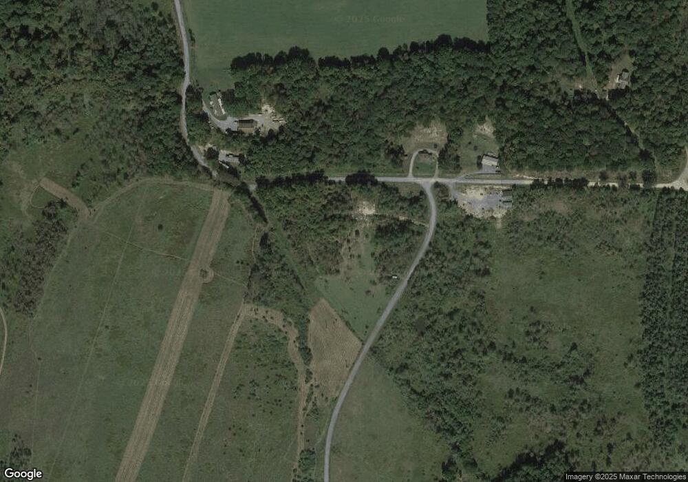
1105 Norris Rd New Millport, PA 16861
Estimated Value: $92,000 - $168,000
--
Bed
--
Bath
--
Sq Ft
7.11
Acres
About This Home
This home is located at 1105 Norris Rd, New Millport, PA 16861 and is currently estimated at $130,000. 1105 Norris Rd is a home with nearby schools including Penn-Grampian El School, Curwensville Area Elementary School, and Curwensville Area Junior/Senior High School.
Ownership History
Date
Name
Owned For
Owner Type
Purchase Details
Closed on
Jul 30, 2019
Sold by
Wall Karl F and Wall Brenda L
Bought by
Bressler Steven M
Current Estimated Value
Create a Home Valuation Report for This Property
The Home Valuation Report is an in-depth analysis detailing your home's value as well as a comparison with similar homes in the area
Home Values in the Area
Average Home Value in this Area
Purchase History
| Date | Buyer | Sale Price | Title Company |
|---|---|---|---|
| Bressler Steven M | $19,500 | None Available |
Source: Public Records
Tax History Compared to Growth
Tax History
| Year | Tax Paid | Tax Assessment Tax Assessment Total Assessment is a certain percentage of the fair market value that is determined by local assessors to be the total taxable value of land and additions on the property. | Land | Improvement |
|---|---|---|---|---|
| 2025 | $2,369 | $38,600 | $4,650 | $33,950 |
| 2024 | $483 | $19,300 | $2,325 | $16,975 |
| 2023 | $2,034 | $17,275 | $2,325 | $14,950 |
| 2022 | $113 | $975 | $975 | $0 |
| 2021 | $113 | $975 | $975 | $0 |
| 2020 | $113 | $975 | $975 | $0 |
| 2019 | $113 | $975 | $975 | $0 |
| 2018 | $105 | $975 | $975 | $0 |
| 2017 | $108 | $975 | $975 | $0 |
| 2016 | -- | $975 | $975 | $0 |
| 2015 | -- | $975 | $975 | $0 |
| 2014 | -- | $975 | $975 | $0 |
Source: Public Records
Map
Nearby Homes
- 0 River Rd
- 0 Ryan Rd
- 0 Keiser Rd Wp Lot 3 Unit 11559159
- 0 Keiser Rd Wp Lot 4 Unit 11559869
- 0 Keiser Rd Wp Lot 2 Unit 11558398
- 00 Keiser Rd
- 0 Keiser Rd Unit 3 24419060
- 0 Keiser Rd Unit 2 24419052
- 0 Keiser Rd Unit 4 24419061
- 0 Curwensville Tyrone Hwy
- 00 Curwensville Tyrone Hwy
- 257 Fleming Rd
- 00 Reas Ln
- 2595 Ansonville Rd
- 925 Haytown Rd
- PARCEL 017 Lumber City Hwy
- 0 Rustic Rd
- 412 Susquehanna Ave
- 324 Park Ave
- 99 Main St
- 979 Wm Cemetery Rd
- 685 Wm Cemetery Rd
- 522 Wm Cemetery Rd
- 659 Norris Rd
- 411 Wm Cemetery Rd
- 106 Maple Sugar Rd
- 36 Maple Sugar Rd
- 1439 Old Station Rd
- 1543 Old Station Rd
- 1609 Old Station Rd
- 1261 Old Station Rd
- 1648 Old Station Rd
- 921 Old Station Rd
- 1717 Old Station Rd
- 701 Old Station Rd
- 865 Smeal Rd
- 16847 Tyrone Pike
- 561 Old Station Rd
- 1977 Old Station Rd
- 268 Farm Rd
