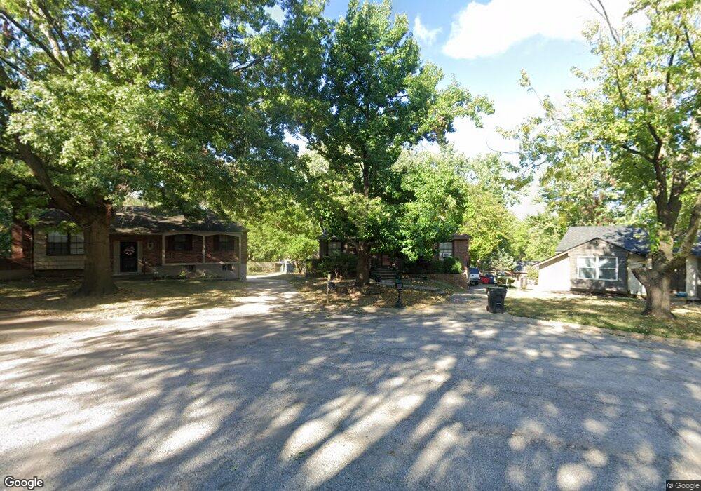
1105 NW Kingsridge Ct Blue Springs, MO 64015
Estimated Value: $231,000 - $249,000
3
Beds
2
Baths
1,040
Sq Ft
$231/Sq Ft
Est. Value
About This Home
This home is located at 1105 NW Kingsridge Ct, Blue Springs, MO 64015 and is currently estimated at $240,727, approximately $231 per square foot. 1105 NW Kingsridge Ct is a home located in Jackson County with nearby schools including James Lewis Elementary School, Brittany Hill Middle School, and Blue Springs High School.
Ownership History
Date
Name
Owned For
Owner Type
Purchase Details
Closed on
Apr 22, 1998
Sold by
Wayne Veitze David and Wayne Annette M
Bought by
Jeffries Larry C
Current Estimated Value
Home Financials for this Owner
Home Financials are based on the most recent Mortgage that was taken out on this home.
Original Mortgage
$65,000
Outstanding Balance
$12,458
Interest Rate
7.21%
Mortgage Type
Purchase Money Mortgage
Estimated Equity
$228,269
Create a Home Valuation Report for This Property
The Home Valuation Report is an in-depth analysis detailing your home's value as well as a comparison with similar homes in the area
Home Values in the Area
Average Home Value in this Area
Purchase History
| Date | Buyer | Sale Price | Title Company |
|---|---|---|---|
| Jeffries Larry C | -- | Stewart Title |
Source: Public Records
Mortgage History
| Date | Status | Borrower | Loan Amount |
|---|---|---|---|
| Open | Jeffries Larry C | $65,000 |
Source: Public Records
Tax History Compared to Growth
Tax History
| Year | Tax Paid | Tax Assessment Tax Assessment Total Assessment is a certain percentage of the fair market value that is determined by local assessors to be the total taxable value of land and additions on the property. | Land | Improvement |
|---|---|---|---|---|
| 2025 | $3,015 | $28,896 | $6,240 | $22,656 |
| 2024 | $2,958 | $36,961 | $5,375 | $31,586 |
| 2023 | $2,958 | $36,961 | $5,064 | $31,897 |
| 2022 | $1,978 | $21,850 | $5,339 | $16,511 |
| 2021 | $1,976 | $21,850 | $5,339 | $16,511 |
| 2020 | $1,767 | $19,875 | $5,339 | $14,536 |
| 2019 | $1,709 | $19,875 | $5,339 | $14,536 |
| 2018 | $892,460 | $19,586 | $3,246 | $16,340 |
| 2017 | $1,749 | $19,586 | $3,246 | $16,340 |
| 2016 | $1,701 | $19,095 | $2,983 | $16,112 |
| 2014 | $1,682 | $18,824 | $2,780 | $16,044 |
Source: Public Records
Map
Nearby Homes
- 1029 NW Berkshire Dr
- 2804 NW Kingsridge Dr
- 913 NW Camelot Ct
- 3212 NW Canterbury Rd
- 2916 NW Chelsea Place
- 3213 NW Canterbury Place
- 2508 NW Castle Dr
- 516 NW Mill Ct
- 2317 NW Kensington Ct
- 1618 NW Samantha Ct
- 704 NW 39th St
- 1389 NW Jefferson Ct
- 124 SW 27th St
- 3605 NW Dogwood Dr
- 4012 NW Delwood Ct
- 3616 NW Dogwood Dr
- 1400 NW Deer Run Trail
- 1604 NW Sunridge Dr
- 4317 NW R D Mize Rd
- 41 Clipper Dr
- 1101 NW Kingsridge Ct
- 1109 NW Kingsridge Ct
- 1104 NW Canterbury Rd
- 1100 NW Canterbury Rd
- 1016 NW Arlington Ct
- 1100 NW Kingsridge Ct
- 2900 NW Kingsridge Dr
- 2917 NW Kingsridge Dr
- 1104 NW Kingsridge Ct
- 1020 NW Arlington Ct
- 2913 NW Kingsridge Dr
- 2909 NW Kingsridge Dr
- 1105 NW Canterbury Rd
- 1012 NW Arlington Ct
- 1101 NW Canterbury Rd
- 2905 NW Kingsridge Dr
- 2816 NW Kingsridge Dr
- 3001 NW Kingsridge Dr
- 1021 NW Canterbury Rd
- 1021 NW Berkshire Dr