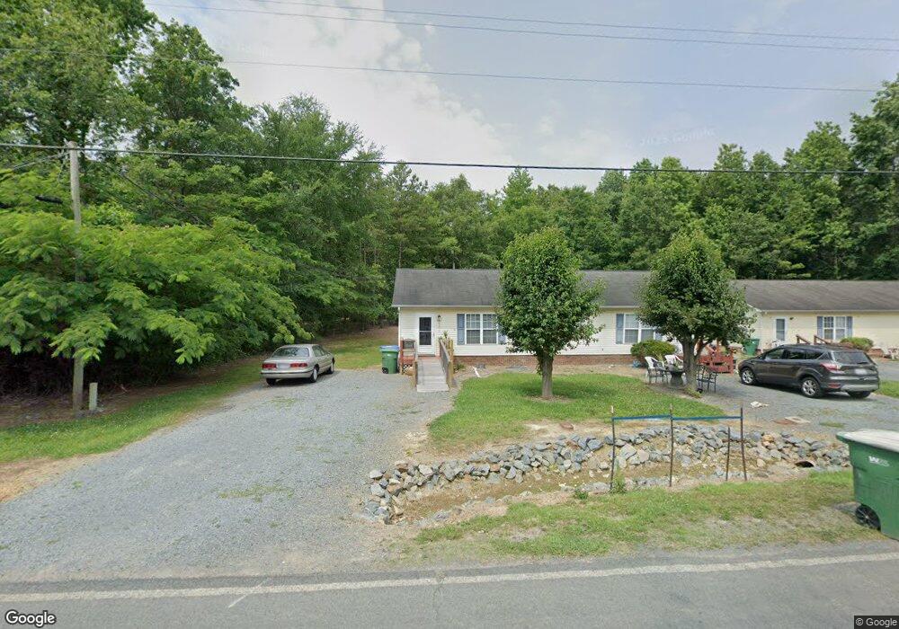
1105 Pennington Rd Unit 1107 Albemarle, NC 28001
Estimated Value: $197,000 - $244,000
4
Beds
2
Baths
1,768
Sq Ft
$126/Sq Ft
Est. Value
About This Home
This home is located at 1105 Pennington Rd Unit 1107, Albemarle, NC 28001 and is currently estimated at $223,044, approximately $126 per square foot. 1105 Pennington Rd Unit 1107 is a home located in Stanly County with nearby schools including Central Elementary School, Albemarle Middle School, and Albemarle High School.
Ownership History
Date
Name
Owned For
Owner Type
Purchase Details
Closed on
Feb 23, 2024
Sold by
Elwood Jesse Burdell and Rose Linda
Bought by
1111 Pennington Llc
Current Estimated Value
Purchase Details
Closed on
Jul 24, 2006
Sold by
Allen Lannie R and Allen Deborah H
Bought by
Elwood Jesse and Elwood Rose
Home Financials for this Owner
Home Financials are based on the most recent Mortgage that was taken out on this home.
Original Mortgage
$77,400
Interest Rate
6.54%
Mortgage Type
New Conventional
Create a Home Valuation Report for This Property
The Home Valuation Report is an in-depth analysis detailing your home's value as well as a comparison with similar homes in the area
Home Values in the Area
Average Home Value in this Area
Purchase History
| Date | Buyer | Sale Price | Title Company |
|---|---|---|---|
| 1111 Pennington Llc | $60,000 | None Listed On Document | |
| Elwood Jesse | $86,000 | None Available |
Source: Public Records
Mortgage History
| Date | Status | Borrower | Loan Amount |
|---|---|---|---|
| Previous Owner | Elwood Jesse | $77,400 |
Source: Public Records
Tax History Compared to Growth
Tax History
| Year | Tax Paid | Tax Assessment Tax Assessment Total Assessment is a certain percentage of the fair market value that is determined by local assessors to be the total taxable value of land and additions on the property. | Land | Improvement |
|---|---|---|---|---|
| 2025 | $1,550 | $138,376 | $11,026 | $127,350 |
| 2024 | $1,272 | $104,293 | $6,415 | $97,878 |
| 2023 | $1,272 | $104,293 | $6,415 | $97,878 |
| 2022 | $1,272 | $104,293 | $6,415 | $97,878 |
| 2021 | $1,272 | $104,293 | $6,415 | $97,878 |
| 2020 | $1,225 | $94,479 | $5,498 | $88,981 |
| 2019 | $1,238 | $94,479 | $5,498 | $88,981 |
| 2018 | $1,238 | $94,479 | $5,498 | $88,981 |
| 2017 | $1,190 | $94,479 | $5,498 | $88,981 |
| 2016 | $1,174 | $93,158 | $5,269 | $87,889 |
| 2015 | $1,186 | $93,158 | $5,269 | $87,889 |
| 2014 | $1,209 | $93,158 | $5,269 | $87,889 |
Source: Public Records
Map
Nearby Homes
- 0 Pennington Rd Unit CAR4263058
- 1107 Greenwood St
- 1316 Wiscassett St
- 1229 Wiscassett St
- 000 Long St Unit 21,22,23,24
- 1001 Pine St
- 1229 Poplar St
- 1329 Columbus St
- 1119 Poplar St
- 1339 Hill St
- 1220 Wood St
- 1410 Long St Unit 18-19
- 621 Graham St
- 916 Macarthur Rd
- 1224 Hollywood Terrace
- 610 Watts St
- 1240 Hollywood Terrace
- 1416 Salisbury Ave
- 748 Efird St
- 526 Graham St
- 1109 Pennington Rd Unit 1111
- 1108 Pennington Rd
- 1110 Pennington Rd
- 1112 Pennington Rd Unit 1114
- 0 Pennington Rd Unit 748102
- 0 Pennington Rd Unit 2136960
- 0 Pennington Rd Unit 3023331
- Greenwood St
- 1228 Greenwood St
- 1200 Pennington Rd
- 1224 Corbin St
- 1225 Corbin St
- 1221 Greenwood St Unit 1223
- 1205 Pennington Rd
- 1126 Corbin St
- 1122 Corbin St
- 1206 Pennington Rd
- 1208 Pennington Rd
- 0 Monroe None Unit 23/25 CAR3891348
- 1209 Pennington Rd