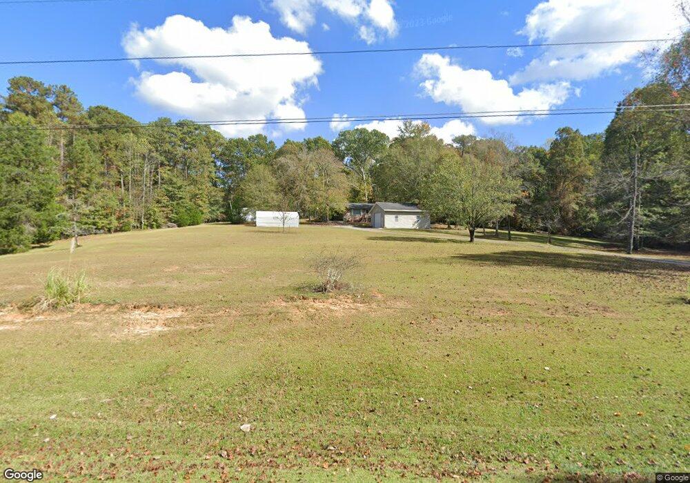
1105 Pyne Rd Lagrange, GA 30240
Estimated Value: $243,587 - $264,000
3
Beds
2
Baths
1,692
Sq Ft
$149/Sq Ft
Est. Value
About This Home
This home is located at 1105 Pyne Rd, Lagrange, GA 30240 and is currently estimated at $251,647, approximately $148 per square foot. 1105 Pyne Rd is a home located in Troup County with nearby schools including Long Cane Elementary School, Berta Weathersbee Elementary School, and Whitesville Road Elementary School.
Ownership History
Date
Name
Owned For
Owner Type
Purchase Details
Closed on
Nov 16, 2004
Sold by
Willard Truman Stone
Bought by
Stone Judy E
Current Estimated Value
Purchase Details
Closed on
Dec 9, 1988
Sold by
Pearlie Bowers
Bought by
Willard Truman Stone
Purchase Details
Closed on
Jan 6, 1984
Sold by
Pearlie Bowers
Bought by
Pearlie Bowers
Purchase Details
Closed on
Jan 1, 1968
Sold by
Katie Robert and Katie Wheeler
Bought by
Pearlie Bowers
Create a Home Valuation Report for This Property
The Home Valuation Report is an in-depth analysis detailing your home's value as well as a comparison with similar homes in the area
Purchase History
| Date | Buyer | Sale Price | Title Company |
|---|---|---|---|
| Stone Judy E | -- | -- | |
| Willard Truman Stone | $45,000 | -- | |
| Pearlie Bowers | -- | -- | |
| Pearlie Bowers | $18,000 | -- |
Source: Public Records
Tax History
| Year | Tax Paid | Tax Assessment Tax Assessment Total Assessment is a certain percentage of the fair market value that is determined by local assessors to be the total taxable value of land and additions on the property. | Land | Improvement |
|---|---|---|---|---|
| 2025 | $1,086 | $72,000 | $14,200 | $57,800 |
| 2024 | $930 | $63,160 | $14,200 | $48,960 |
| 2023 | $313 | $58,440 | $14,200 | $44,240 |
| 2022 | $772 | $56,280 | $14,200 | $42,080 |
| 2021 | $551 | $47,000 | $11,400 | $35,600 |
| 2020 | $1,117 | $47,000 | $11,400 | $35,600 |
| 2019 | $1,128 | $47,360 | $11,400 | $35,960 |
| 2018 | $1,030 | $44,120 | $11,400 | $32,720 |
| 2017 | $1,030 | $44,120 | $11,400 | $32,720 |
| 2016 | $920 | $40,452 | $11,423 | $29,029 |
| 2015 | $921 | $40,452 | $11,423 | $29,029 |
| 2014 | $874 | $38,923 | $11,423 | $27,500 |
| 2013 | -- | $40,516 | $11,423 | $29,094 |
Source: Public Records
Map
Nearby Homes
- 640 Hudson Rd
- 266 Glass Bridge Rd
- 119 Plymouth Dr
- 113 Colonial Ct Unit 100
- 311 Cumberland Dr
- 101 Ivy Springs Dr
- 124 Lincoln Ln
- 0 Glass Bridge Rd Unit 10679358
- 112 Foxdale Dr
- 474 Newton Rd
- 124 Foxdale Dr
- 40 River Point Dr
- 104 Bridlewood Dr
- 135 Planters Ridge Dr
- 275 Hanson Dr
- 0 Hanson Dr Unit 10641272
- 105 Redwood Dr
- 808 S Fling Rd
- 104 Hidden Springs Dr
- 509 Connie Dr
- 313 Woodfield Cir
- 311 Woodfield Cir
- 315 Woodfield Cir
- 317 Woodfield Cir
- 309 Woodfield Cir
- 314 Woodfield Cir
- 1059 Pyne Rd
- 319 Woodfield Cir
- 310 Woodfield Cir
- 307 Woodfield Cir
- 318 Woodfield Cir
- 1140 Pyne Rd
- 320 Woodfield Cir
- 1049 Pyne Rd
- 308 Woodfield Cir
- 321 Woodfield Cir
- 103 Oakdale Dr
- 305 Woodfield Cir
- 105 Oakdale Dr
- 107 Oakdale Dr
Your Personal Tour Guide
Ask me questions while you tour the home.