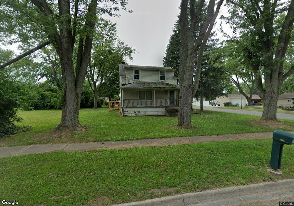
1105 Stanley Ave Pontiac, MI 48340
Estimated Value: $151,754 - $190,000
4
Beds
2
Baths
1,445
Sq Ft
$118/Sq Ft
Est. Value
About This Home
This home is located at 1105 Stanley Ave, Pontiac, MI 48340 and is currently estimated at $170,439, approximately $117 per square foot. 1105 Stanley Ave is a home located in Oakland County with nearby schools including Alcott School, Pontiac Middle School, and Pontiac High School.
Ownership History
Date
Name
Owned For
Owner Type
Purchase Details
Closed on
Apr 12, 2021
Sold by
Desjardins Jay and Desjardins Elizabeth A
Bought by
Desjardins George H
Current Estimated Value
Purchase Details
Closed on
Feb 20, 2009
Sold by
Mortgage Electronic Registration Systems
Bought by
Deutsche Bank National Trust Company
Purchase Details
Closed on
Jan 20, 2009
Sold by
Garcia Pedro and Garcia Rosa
Bought by
Mortgage Electronic Registration Systems
Purchase Details
Closed on
Oct 28, 2004
Sold by
Evjen Jeannette B and Evjen Donald D
Bought by
Garcia Pedro and Garcia Rosa
Create a Home Valuation Report for This Property
The Home Valuation Report is an in-depth analysis detailing your home's value as well as a comparison with similar homes in the area
Home Values in the Area
Average Home Value in this Area
Purchase History
| Date | Buyer | Sale Price | Title Company |
|---|---|---|---|
| Desjardins George H | $62,900 | Liberty Title | |
| Deutsche Bank National Trust Company | -- | None Available | |
| Mortgage Electronic Registration Systems | $95,841 | None Available | |
| Garcia Pedro | $119,900 | -- |
Source: Public Records
Tax History Compared to Growth
Tax History
| Year | Tax Paid | Tax Assessment Tax Assessment Total Assessment is a certain percentage of the fair market value that is determined by local assessors to be the total taxable value of land and additions on the property. | Land | Improvement |
|---|---|---|---|---|
| 2024 | $2,657 | $54,440 | $0 | $0 |
| 2023 | $2,532 | $48,870 | $0 | $0 |
| 2022 | $2,506 | $43,880 | $0 | $0 |
| 2021 | $1,223 | $38,230 | $0 | $0 |
| 2020 | $1,128 | $34,120 | $0 | $0 |
| 2019 | $1,185 | $29,890 | $0 | $0 |
| 2018 | $1,142 | $25,670 | $0 | $0 |
| 2017 | $1,096 | $24,570 | $0 | $0 |
| 2016 | $1,119 | $21,360 | $0 | $0 |
| 2015 | -- | $20,850 | $0 | $0 |
| 2014 | -- | $19,930 | $0 | $0 |
| 2011 | -- | $24,780 | $0 | $0 |
Source: Public Records
Map
Nearby Homes
- 255 W Rutgers Ave
- 240 W Fairmount Ave
- 1123 Cherrylawn Dr
- 1153 Stanley Ave
- 1017 Cherrylawn Dr
- 207 W Strathmore Ave
- 240 W Longfellow Ave
- 998 Dewey St
- 134 W Fairmount Ave
- 117 W Strathmore Ave
- 112 W Strathmore Ave
- 119 W Kennett Rd
- 201 Parkdale Ave
- 109 W Kennett Rd
- 137 Dresden Ave
- 33 W Beverly Ave
- 841 Orlando Ave
- 310 W Princeton Ave
- 18 E 18 E Rutgers Ave
- 793 Orlando Ave
- 1117 Stanley Ave
- 1087 Stanley Ave
- 1106 Meadowlawn Dr
- 1098 Meadowlawn Dr
- 263 W Fairmount Ave
- 1120 Meadowlawn Dr
- 1127 Stanley Ave
- 1092 Meadowlawn Dr
- 1086 Meadowlawn Dr
- 1133 Stanley Ave
- 1083 Stanley Ave
- 264 W Fairmount Ave
- 259 W Fairmount Ave
- 264 W Rutgers Ave
- 255 W Fairmount Ave
- 260 W Rutgers Ave
- 1132 Meadowlawn Dr
- 260 W Fairmount Ave
- 1082 Meadowlawn Dr
- 256 W Fairmount Ave