1105 White Dr NE Townsend, GA 31331
Estimated Value: $32,194 - $195,000
--
Bed
--
Bath
--
Sq Ft
0.35
Acres
About This Home
This home is located at 1105 White Dr NE, Townsend, GA 31331 and is currently estimated at $118,549. 1105 White Dr NE is a home with nearby schools including Todd Grant Elementary School, McIntosh County Middle School, and McIntosh County Academy.
Ownership History
Date
Name
Owned For
Owner Type
Purchase Details
Closed on
Jun 28, 2022
Sold by
Mccurdy Properties Llc
Bought by
Coley William Davis
Current Estimated Value
Home Financials for this Owner
Home Financials are based on the most recent Mortgage that was taken out on this home.
Original Mortgage
$16,652
Outstanding Balance
$6,603
Interest Rate
5.1%
Mortgage Type
New Conventional
Estimated Equity
$111,946
Purchase Details
Closed on
Feb 26, 2007
Sold by
Mccurdy Stehanie T
Bought by
Mccurdy Properties Llc
Purchase Details
Closed on
Mar 17, 2004
Sold by
Floyd Alvin
Bought by
Mccurdy Stephanie T
Create a Home Valuation Report for This Property
The Home Valuation Report is an in-depth analysis detailing your home's value as well as a comparison with similar homes in the area
Home Values in the Area
Average Home Value in this Area
Purchase History
| Date | Buyer | Sale Price | Title Company |
|---|---|---|---|
| Coley William Davis | $18,500 | -- | |
| Mccurdy Properties Llc | -- | -- | |
| Mccurdy Stephanie T | $32,000 | -- |
Source: Public Records
Mortgage History
| Date | Status | Borrower | Loan Amount |
|---|---|---|---|
| Open | Coley William Davis | $16,652 |
Source: Public Records
Tax History Compared to Growth
Tax History
| Year | Tax Paid | Tax Assessment Tax Assessment Total Assessment is a certain percentage of the fair market value that is determined by local assessors to be the total taxable value of land and additions on the property. | Land | Improvement |
|---|---|---|---|---|
| 2024 | $139 | $5,000 | $4,000 | $1,000 |
| 2023 | $139 | $5,000 | $4,000 | $1,000 |
| 2022 | $111 | $4,000 | $4,000 | $0 |
| 2021 | $106 | $4,000 | $4,000 | $0 |
| 2020 | $106 | $4,000 | $4,000 | $0 |
| 2019 | $175 | $6,600 | $6,600 | $0 |
| 2018 | $175 | $6,600 | $6,600 | $0 |
| 2017 | $175 | $6,600 | $6,600 | $0 |
| 2016 | $159 | $6,000 | $6,000 | $0 |
| 2015 | $160 | $6,000 | $5,000 | $1,000 |
| 2014 | $160 | $6,000 | $5,000 | $1,000 |
Source: Public Records
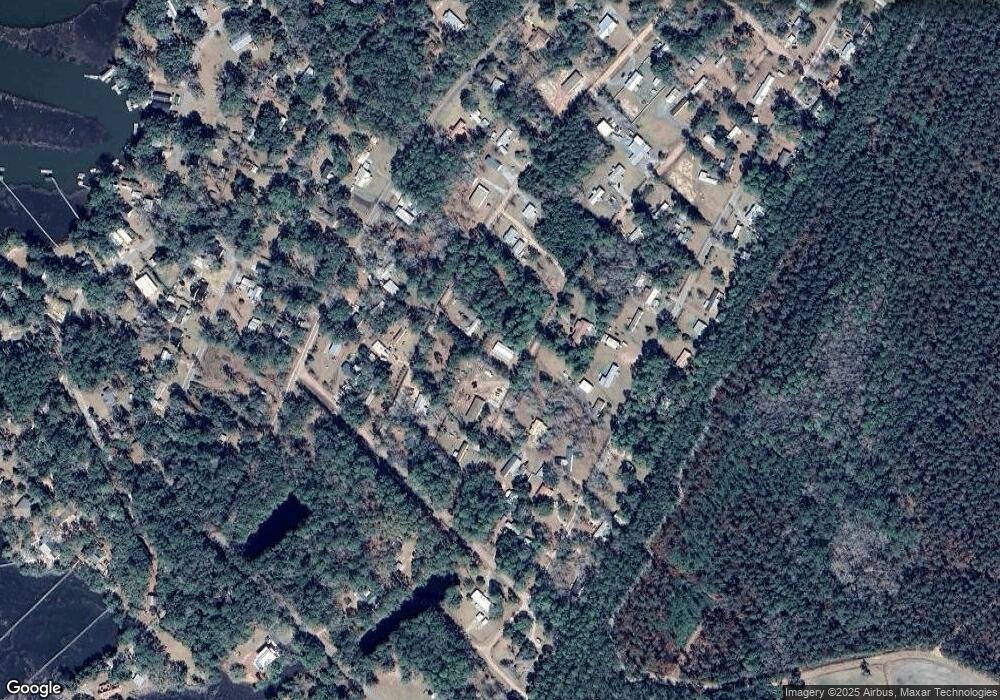
Map
Nearby Homes
- 100 White Dr
- 101 White Dr
- 1172 Floyd Dr NE
- 82 Floyd Dr
- 81 Floyd Dr
- 80 Floyd Dr
- 1515 Ford Blvd NE
- 1142 River Rd NE
- 1114 Neal Blvd
- 1356 Fiddler Trace NE
- Lot 716 Cooper's Landing Dr NE
- 1182 Fiddler Crab Dr
- 1088 Fiddler Trace NE
- 1215 Fiddler Trace NE
- 1111 Fiddler Crab Dr
- Lot 712 Cooper's Landing Dr NE
- Lot 610 NE Blue Heron Ln
- Lot 710 Cooper's Landing Dr NE
- Lot 709 Cooper's Landing Dr NE
- 1065 Fiddler Trace
- 1048 White Dr NE
- 1071 White Dr NE
- 1148 White Dr NE
- 1070 White Dr NE
- 1032 Floyd Dr NE
- 1049 White Dr NE
- 1079 Floyd Dr NE
- 1358 Williamson Rd NE
- 1358 Williamson Rd NE
- 13 White Drive North E
- 128 White Drive North E
- 97 White Drive North E
- 98 White Drive North E
- 225 White Drive North E
- 130 White Drive North E
- 1410 NE Williamson Dr
- 1059 Floyd Dr NE
- 1389 Ford Blvd NE
- 1371 Ford Blvd NE
- 1381 Williamson Rd NE