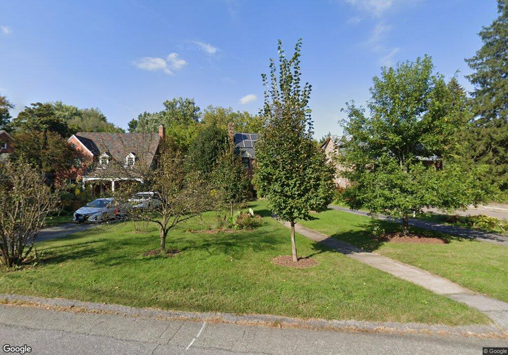
1105 Woodside Pkwy Silver Spring, MD 20910
Estimated Value: $780,000 - $929,000
Studio
2
Baths
1,786
Sq Ft
$480/Sq Ft
Est. Value
About This Home
This home is located at 1105 Woodside Pkwy, Silver Spring, MD 20910 and is currently estimated at $857,839, approximately $480 per square foot. 1105 Woodside Pkwy is a home located in Montgomery County with nearby schools including Woodlin Elementary School, Sligo Middle School, and Albert Einstein High School.
Ownership History
Date
Name
Owned For
Owner Type
Purchase Details
Closed on
Jun 18, 2018
Sold by
Okane Margaret E
Bought by
Okane Margaret E and Margaret Okane Declaration Of
Current Estimated Value
Purchase Details
Closed on
Jan 21, 1994
Sold by
Peard P B
Bought by
Okane M E
Home Financials for this Owner
Home Financials are based on the most recent Mortgage that was taken out on this home.
Original Mortgage
$248,000
Interest Rate
7.08%
Create a Home Valuation Report for This Property
The Home Valuation Report is an in-depth analysis detailing your home's value as well as a comparison with similar homes in the area
Home Values in the Area
Average Home Value in this Area
Purchase History
| Date | Buyer | Sale Price | Title Company |
|---|---|---|---|
| Okane Margaret E | -- | None Available | |
| Okane M E | $310,000 | -- |
Source: Public Records
Mortgage History
| Date | Status | Borrower | Loan Amount |
|---|---|---|---|
| Closed | Okane M E | $248,000 |
Source: Public Records
Tax History
| Year | Tax Paid | Tax Assessment Tax Assessment Total Assessment is a certain percentage of the fair market value that is determined by local assessors to be the total taxable value of land and additions on the property. | Land | Improvement |
|---|---|---|---|---|
| 2025 | $8,842 | $720,767 | -- | -- |
| 2024 | $8,842 | $704,600 | $360,500 | $344,100 |
| 2023 | $7,607 | $659,267 | $0 | $0 |
| 2022 | $6,736 | $613,933 | $0 | $0 |
| 2021 | $6,169 | $568,600 | $360,500 | $208,100 |
| 2020 | $6,135 | $568,600 | $360,500 | $208,100 |
| 2019 | $6,099 | $568,600 | $360,500 | $208,100 |
| 2018 | $6,195 | $579,100 | $360,500 | $218,600 |
| 2017 | $6,406 | $577,767 | $0 | $0 |
| 2016 | -- | $576,433 | $0 | $0 |
| 2015 | $5,841 | $575,100 | $0 | $0 |
| 2014 | $5,841 | $572,933 | $0 | $0 |
Source: Public Records
Map
Nearby Homes
- 1102 Dale Dr
- 9329 Harvey Rd
- 1305 Woodside Pkwy
- 311 Ellsworth Dr
- 709 Woodside Pkwy
- 512 Pershing Dr
- 700 Roeder Rd Unit 101
- 700 Roeder Rd Unit 103
- 8613 Cedar St
- 617 Greenbrier Dr
- 1415 Ballard St
- 9210 Worth Ave
- 9127 Sligo Creek Pkwy
- 1409 Crestridge Dr
- 1604 Highland Dr
- 9407 Colesville Rd
- 1320 Fenwick Ln Unit 711
- 1320 Fenwick Ln Unit 700
- 1320 Fenwick Ln Unit 203
- 1320 Fenwick Ln Unit 606
- 1107 Woodside Pkwy
- 1101 Woodside Pkwy
- 1111 Woodside Pkwy
- 9102 Fairview Rd
- 9106 Fairview Rd
- 1006 Highland Dr
- 1113 Woodside Pkwy
- 1004 Highland Dr
- 1104 Woodside Pkwy
- 9032 Fairview Rd
- 1025 Woodside Pkwy
- 1000 Highland Dr
- 9110 Fairview Rd
- 1115 Woodside Pkwy
- 9105 Alton Pkwy
- 9111 Alton Pkwy
- 1108 Woodside Pkwy
- 1026 Woodside Pkwy
- 920 Highland Dr
- 9115 Alton Pkwy
Your Personal Tour Guide
Ask me questions while you tour the home.