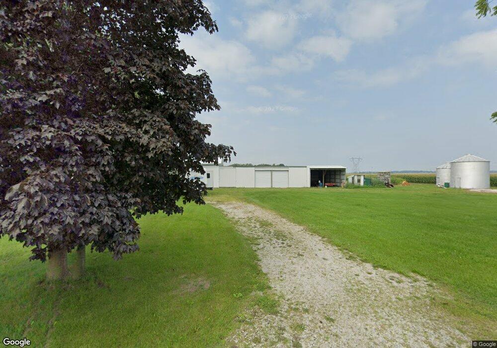
11052 S 100 E Union Mills, IN 46382
Estimated Value: $132,000 - $320,000
3
Beds
2
Baths
1,749
Sq Ft
$144/Sq Ft
Est. Value
About This Home
This home is located at 11052 S 100 E, Union Mills, IN 46382 and is currently estimated at $251,615, approximately $143 per square foot. 11052 S 100 E is a home located in LaPorte County with nearby schools including Kingsford Heights Elementary School, La Porte High School, and Kesling Intermediate School.
Ownership History
Date
Name
Owned For
Owner Type
Purchase Details
Closed on
Nov 22, 2024
Sold by
Larry L Arndt L and Larry Nellie J
Bought by
Kayser Christopher and Kayser Elise
Current Estimated Value
Home Financials for this Owner
Home Financials are based on the most recent Mortgage that was taken out on this home.
Original Mortgage
$118,750
Outstanding Balance
$113,016
Interest Rate
5.41%
Mortgage Type
New Conventional
Estimated Equity
$138,599
Create a Home Valuation Report for This Property
The Home Valuation Report is an in-depth analysis detailing your home's value as well as a comparison with similar homes in the area
Purchase History
| Date | Buyer | Sale Price | Title Company |
|---|---|---|---|
| Kayser Christopher | -- | None Listed On Document |
Source: Public Records
Mortgage History
| Date | Status | Borrower | Loan Amount |
|---|---|---|---|
| Open | Kayser Christopher | $118,750 |
Source: Public Records
Tax History
| Year | Tax Paid | Tax Assessment Tax Assessment Total Assessment is a certain percentage of the fair market value that is determined by local assessors to be the total taxable value of land and additions on the property. | Land | Improvement |
|---|---|---|---|---|
| 2025 | $2,033 | $205,900 | $26,900 | $179,000 |
| 2024 | $3,943 | $199,100 | $27,000 | $172,100 |
| 2023 | $3,869 | $194,000 | $26,700 | $167,300 |
| 2022 | $3,582 | $179,100 | $26,300 | $152,800 |
| 2021 | $1,838 | $170,200 | $26,100 | $144,100 |
| 2020 | $1,618 | $170,200 | $26,100 | $144,100 |
| 2019 | $1,673 | $154,300 | $26,400 | $127,900 |
| 2018 | $1,635 | $149,300 | $21,400 | $127,900 |
| 2017 | $1,459 | $141,500 | $21,600 | $119,900 |
| 2016 | $1,276 | $133,500 | $21,800 | $111,700 |
| 2014 | $1,082 | $120,800 | $21,800 | $99,000 |
Source: Public Records
Map
Nearby Homes
- 1008 Norfolk Rd
- 1002 Norfolk Rd
- 1014 Norfolk Rd
- 1010 Norfolk Rd
- 1012 Norfolk Rd
- 1004 Norfolk Rd
- 706 Edgemoor Rd
- 1006 Norfolk Rd
- 815 Larchmere Rd
- 561 Grayton Rd
- 533 Grayton Rd
- 814 Kenilworth Rd
- 910 Kenilworth Rd
- 912 Kenilworth Rd
- 908 Kenilworth Rd
- 908 Kenilworth Rd
- 906 Kenilworth Rd
- 0 Central Rd Unit NRA826634
- 416 Belvoir Rd
- 419 Belvoir Rd
Your Personal Tour Guide
Ask me questions while you tour the home.