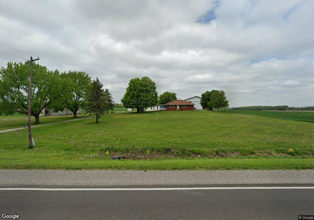
11052 W Pierson Rd Flushing, MI 48433
Estimated Value: $285,000 - $333,000
--
Bed
--
Bath
1,200
Sq Ft
$257/Sq Ft
Est. Value
About This Home
This home is located at 11052 W Pierson Rd, Flushing, MI 48433 and is currently estimated at $308,978, approximately $257 per square foot. 11052 W Pierson Rd is a home located in Genesee County with nearby schools including Central Elementary School, Flushing Middle School, and Flushing High School.
Ownership History
Date
Name
Owned For
Owner Type
Purchase Details
Closed on
Mar 8, 2010
Sold by
Bolt Jennifer E and Bolt Jennifer
Bought by
Bolt Michael J
Current Estimated Value
Home Financials for this Owner
Home Financials are based on the most recent Mortgage that was taken out on this home.
Original Mortgage
$115,900
Interest Rate
5.01%
Mortgage Type
Future Advance Clause Open End Mortgage
Purchase Details
Closed on
Feb 28, 2005
Sold by
Bolt Earl W and Bolt Marjorie
Bought by
Bolt Michael J and Bolt Jennifer E
Create a Home Valuation Report for This Property
The Home Valuation Report is an in-depth analysis detailing your home's value as well as a comparison with similar homes in the area
Home Values in the Area
Average Home Value in this Area
Purchase History
| Date | Buyer | Sale Price | Title Company |
|---|---|---|---|
| Bolt Michael J | -- | None Available | |
| Bolt Michael J | $150,000 | None Available | |
| Bolt Michael J | -- | -- |
Source: Public Records
Mortgage History
| Date | Status | Borrower | Loan Amount |
|---|---|---|---|
| Previous Owner | Bolt Michael J | $115,900 |
Source: Public Records
Tax History Compared to Growth
Tax History
| Year | Tax Paid | Tax Assessment Tax Assessment Total Assessment is a certain percentage of the fair market value that is determined by local assessors to be the total taxable value of land and additions on the property. | Land | Improvement |
|---|---|---|---|---|
| 2025 | $4,366 | $166,100 | $0 | $0 |
| 2024 | $2,404 | $161,900 | $0 | $0 |
| 2023 | $2,295 | $144,900 | $0 | $0 |
| 2022 | $3,953 | $134,500 | $0 | $0 |
| 2021 | $3,871 | $130,500 | $0 | $0 |
| 2020 | $2,135 | $130,300 | $0 | $0 |
| 2019 | $2,112 | $124,000 | $0 | $0 |
| 2018 | $3,626 | $109,200 | $0 | $0 |
| 2017 | $1,869 | $109,200 | $0 | $0 |
| 2016 | $3,312 | $106,200 | $0 | $0 |
| 2015 | $3,148 | $101,600 | $0 | $0 |
| 2014 | $1,839 | $99,500 | $0 | $0 |
| 2012 | -- | $98,200 | $63,400 | $34,800 |
Source: Public Records
Map
Nearby Homes
- 10167 W Pierson Rd
- 11358 W Carpenter Rd Rd
- 3462 Woodridge Dr
- 3372 Woodridge Dr
- 10101 Carpenter Rd
- 3470 Longmeadow Dr
- 219 Primrose Ln
- 308 N Seymour Rd
- 309 Arthur St
- 3330 Sheridan Rd
- 212 W Henry St
- 537 Sharon Dr
- 0 Winters Eave Dr Unit 50117986
- 6289 W River Rd
- 538 Autumn Dr
- 5284 Chickasaw Trail
- 5315 Chickasaw Trail
- 0 E River Rd Unit 50180952
- 000 Potter Rd
- 113 N Mckinley Rd
- 4144 Dillon Rd
- 4160 Dillon Rd
- 11140 W Pierson Rd
- 4172 Dillon Rd
- 11163 W Pierson Rd
- 4182 Dillon Rd
- 4182 Dillon Rd
- 3499 Dillon Rd
- 3499 Dillon Rd
- 4181 Dillon Rd
- 4181 Dillon Rd
- 3452 Dillon Rd
- 4216 Dillon Rd
- 4197 Dillon Rd
- 10469 W Pierson Rd
- 11155 Anderson Dr
- 3444 Dillon Rd
- 10457 W Pierson Rd
- 11207 W Pierson Rd
- 4223 Dillon Rd