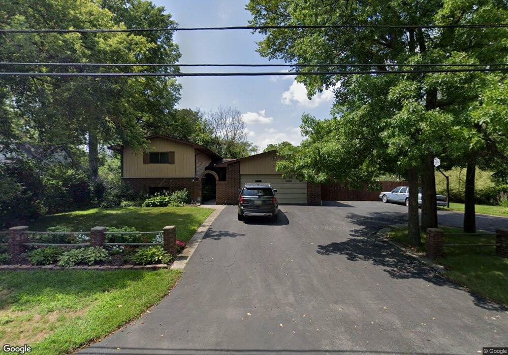
11054 Baraga St Taylor, MI 48180
Estimated Value: $294,000 - $360,000
3
Beds
4
Baths
2,385
Sq Ft
$138/Sq Ft
Est. Value
About This Home
This home is located at 11054 Baraga St, Taylor, MI 48180 and is currently estimated at $328,444, approximately $137 per square foot. 11054 Baraga St is a home located in Wayne County with nearby schools including Bernice Mcdowell Elementary School, Robert J. West Middle School, and Taylor Preparatory High School.
Ownership History
Date
Name
Owned For
Owner Type
Purchase Details
Closed on
Apr 7, 2017
Sold by
Blount Nigel T and Blount Sannia Antionette
Bought by
Blount Fred E
Current Estimated Value
Home Financials for this Owner
Home Financials are based on the most recent Mortgage that was taken out on this home.
Original Mortgage
$188,870
Outstanding Balance
$157,168
Interest Rate
4.21%
Mortgage Type
VA
Estimated Equity
$171,276
Purchase Details
Closed on
Jun 20, 2008
Sold by
Blount Fred E and Blount Carolyn M
Bought by
Blount Nigel T
Create a Home Valuation Report for This Property
The Home Valuation Report is an in-depth analysis detailing your home's value as well as a comparison with similar homes in the area
Home Values in the Area
Average Home Value in this Area
Purchase History
| Date | Buyer | Sale Price | Title Company |
|---|---|---|---|
| Blount Fred E | $195,000 | Visionary Title Agency Kllc | |
| Blount Nigel T | $200,000 | Capital Title Ins Agency |
Source: Public Records
Mortgage History
| Date | Status | Borrower | Loan Amount |
|---|---|---|---|
| Open | Blount Fred E | $188,870 |
Source: Public Records
Tax History
| Year | Tax Paid | Tax Assessment Tax Assessment Total Assessment is a certain percentage of the fair market value that is determined by local assessors to be the total taxable value of land and additions on the property. | Land | Improvement |
|---|---|---|---|---|
| 2025 | $3,263 | $164,000 | $0 | $0 |
| 2024 | $3,160 | $150,600 | $0 | $0 |
| 2023 | $4,794 | $137,500 | $0 | $0 |
| 2022 | $3,015 | $116,200 | $0 | $0 |
| 2021 | $4,163 | $98,300 | $0 | $0 |
| 2020 | $3,475 | $83,000 | $0 | $0 |
| 2019 | $387,990 | $86,400 | $0 | $0 |
| 2018 | $2,589 | $70,700 | $0 | $0 |
| 2017 | $2,839 | $64,700 | $0 | $0 |
| 2016 | $3,629 | $62,800 | $0 | $0 |
| 2015 | $5,850 | $58,500 | $0 | $0 |
| 2013 | $5,830 | $61,100 | $0 | $0 |
| 2012 | $2,648 | $59,200 | $9,500 | $49,700 |
Source: Public Records
Map
Nearby Homes
- 11119 Dudley St
- 11200 Polk St
- 22155 Maplelawn Ave
- 10219 Island Lake Dr
- 11187 Pardee Rd
- 6445 Pardee Rd
- 20091 Crisler St
- 22675 Goddard Rd
- 22243 Kinyon St Unit 3
- 22243 Kinyon St Unit 1
- 10854 Allen Rd
- 00 Allen Rd
- 10124 Pelham Rd
- 9640 Dudley St
- 22150 Haig St
- 9444 Polk St
- 11367 Suffolk Dr
- 9814 Cass Ave
- 9651 Blaty St
- 9949 Allen Pointe Dr Unit 14
- 11076 Baraga St
- 21421 Goddard Rd
- 21525 Goddard Rd
- 21329 Goddard Rd
- 11088 Baraga St
- 0 Baraga St Unit 57020027274
- 0 Baraga St Unit VACANT 20003315
- 0 Baraga St Unit VACANT 20008390
- 0 Baraga St Unit VACANT 20013957
- 0 Baraga St Unit VACANT
- 21307 Goddard Rd
- 11110 Baraga St
- 11093 Baraga St
- 21295 Goddard Rd
- 11047 William St
- 11109 Baraga St
- 10919 Lakeview Dr
- 10800 Lakeview Dr
- 10885 Lakeview Dr
- 11150 Baraga St
Your Personal Tour Guide
Ask me questions while you tour the home.