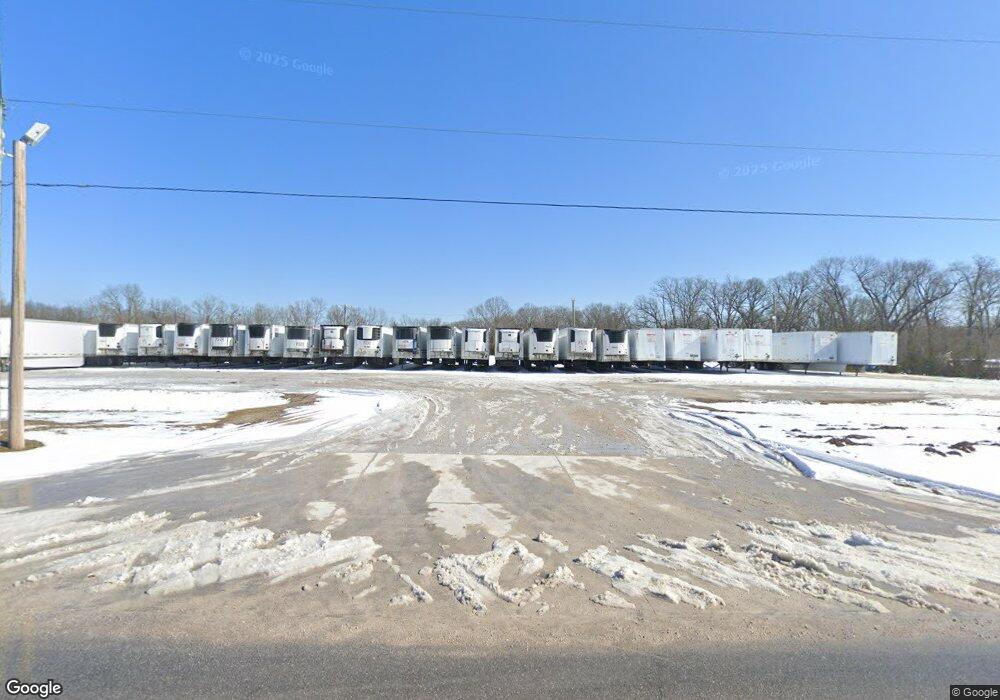
11054 N Old Wire Rd Rogers, AR 72756
Estimated Value: $128,000 - $261,945
Studio
2
Baths
704
Sq Ft
$267/Sq Ft
Est. Value
About This Home
This home is located at 11054 N Old Wire Rd, Rogers, AR 72756 and is currently estimated at $187,986, approximately $267 per square foot. 11054 N Old Wire Rd is a home located in Benton County with nearby schools including Northside Elementary School, Lingle Middle School, and Rogers Heritage High School.
Ownership History
Date
Name
Owned For
Owner Type
Purchase Details
Closed on
Jul 31, 2018
Sold by
Undernehr Jerry L and Undernehr Berline V
Bought by
Pepper Source Ltd
Current Estimated Value
Purchase Details
Closed on
Dec 16, 2016
Sold by
Capps Charles R
Bought by
Pepper Source Ltd
Purchase Details
Closed on
Jan 13, 2003
Bought by
Capps
Purchase Details
Closed on
Sep 12, 2002
Bought by
Capps
Purchase Details
Closed on
Jan 11, 1991
Bought by
Capps
Purchase Details
Closed on
Aug 31, 1988
Bought by
Capps
Create a Home Valuation Report for This Property
The Home Valuation Report is an in-depth analysis detailing your home's value as well as a comparison with similar homes in the area
Home Values in the Area
Average Home Value in this Area
Purchase History
| Date | Buyer | Sale Price | Title Company |
|---|---|---|---|
| Pepper Source Ltd | $50,000 | Realty Title & Closing Servi | |
| Pepper Source Ltd | $115,000 | Realty Title & Closing Servi | |
| Capps | -- | -- | |
| Capps | -- | -- | |
| Capps | $7,000 | -- | |
| Capps | $2,000 | -- |
Source: Public Records
Tax History
| Year | Tax Paid | Tax Assessment Tax Assessment Total Assessment is a certain percentage of the fair market value that is determined by local assessors to be the total taxable value of land and additions on the property. | Land | Improvement |
|---|---|---|---|---|
| 2025 | $2 | $36 | $36 | -- |
| 2024 | $2 | $36 | $36 | $0 |
| 2023 | $1 | $30 | $30 | $0 |
| 2022 | $2 | $30 | $30 | $0 |
| 2021 | $2 | $30 | $30 | $0 |
| 2020 | $2 | $40 | $40 | $0 |
| 2019 | $2 | $40 | $40 | $0 |
| 2018 | $2 | $40 | $40 | $0 |
| 2017 | $915 | $11,910 | $1,400 | $10,510 |
| 2016 | $319 | $7,670 | $1,400 | $6,270 |
| 2015 | $319 | $6,640 | $2,000 | $4,640 |
| 2014 | $469 | $6,640 | $2,000 | $4,640 |
Source: Public Records
Map
Nearby Homes
- 4006 NE Hudson Rd
- 12010 Saddle Hill Ln
- 13000 Rooted
- 11680 Amy Ave
- 12620 Lindy Ln
- 13477 Kistler Rd
- 3812 N 2nd Place
- 10635 Prairie Creek Rd N
- 12437 Wildwood Dr
- 12412 Wildwood Dr
- 12424 Wildwood Dr
- 3800 N 3rd St
- 329 Rader Rd
- 949 Red Cedar Place
- 989 Red Cedar Place
- 4088 Homewoods Dr
- Lot 118 Windjammer
- 0 Windjammer Unit 22124193
- 84 N Briarwood Rd
- 0 Rader Rd Unit 1290308
- 11062 N Old Wire Rd
- 10990 N Old Wire Rd
- 11006 N Old Wire Rd
- 10990 N Old Wire North Rd
- 10993 N Old Wire Rd
- 10960 N Old Wire Rd
- 11150 N Old Wire Rd
- 10989 N Old Wire Rd
- 10950 N Old Wire Rd
- 13027 Walnut Valley Trail
- 10987 N Old Wire Rd
- 13012 Walnut Valley Trail
- 4410 NE Hudson Rd
- 13109 Walnut Valley Trail
- 13109 Walnut Valley Rd
- 4404 NE Hudson Rd
- 10915 N Old Wire Rd
- 4430 NE Hudson Rd
- 4420 NE Hudson Rd
- 10948 N Old Wire Rd
Your Personal Tour Guide
Ask me questions while you tour the home.
