11054 Rock Inn Rd Auburndale, WI 54412
Estimated Value: $63,916 - $142,000
--
Bed
--
Bath
--
Sq Ft
2.2
Acres
About This Home
This home is located at 11054 Rock Inn Rd, Auburndale, WI 54412 and is currently estimated at $102,958. 11054 Rock Inn Rd is a home located in Wood County with nearby schools including Auburndale Elementary School and Auburndale High School.
Ownership History
Date
Name
Owned For
Owner Type
Purchase Details
Closed on
Dec 18, 2024
Sold by
Boehning Bobby R and Boehning Janice
Bought by
Baltus Sarah
Current Estimated Value
Purchase Details
Closed on
Dec 16, 2024
Sold by
Seidl Chad M
Bought by
Boehning Bobby R and Boehning Janice
Purchase Details
Closed on
Jan 23, 2023
Sold by
Seidl Randy
Bought by
Seidl Chad M
Purchase Details
Closed on
Jan 3, 2023
Sold by
Kollross Mary L
Bought by
Seidl Randy
Purchase Details
Closed on
Nov 9, 2022
Sold by
Seidl Daniel E
Bought by
Seidl Paul
Purchase Details
Closed on
Jan 13, 2005
Sold by
Seidl Eugene and Seidl Regina
Bought by
Kollross Mary Lou and Seidl Dan
Create a Home Valuation Report for This Property
The Home Valuation Report is an in-depth analysis detailing your home's value as well as a comparison with similar homes in the area
Home Values in the Area
Average Home Value in this Area
Purchase History
| Date | Buyer | Sale Price | Title Company |
|---|---|---|---|
| Baltus Sarah | $6,000 | Cheryl A Schwantes, Agent/Owne | |
| Boehning Bobby R | $6,000 | Badger Title - Marshfield Llc | |
| Seidl Chad M | $48,300 | Melissa Meyer | |
| Seidl Randy | $48,300 | Melissa Meyer | |
| Seidl Paul | $4,400 | Brandon Carlin | |
| Kollross Mary Lou | -- | None Available |
Source: Public Records
Tax History Compared to Growth
Tax History
| Year | Tax Paid | Tax Assessment Tax Assessment Total Assessment is a certain percentage of the fair market value that is determined by local assessors to be the total taxable value of land and additions on the property. | Land | Improvement |
|---|---|---|---|---|
| 2024 | $383 | $24,300 | $18,300 | $6,000 |
| 2023 | $363 | $24,300 | $18,300 | $6,000 |
| 2022 | $765 | $48,300 | $18,300 | $30,000 |
| 2021 | $726 | $48,300 | $18,300 | $30,000 |
| 2020 | $671 | $48,300 | $18,300 | $30,000 |
| 2019 | $676 | $48,300 | $18,300 | $30,000 |
| 2018 | $640 | $39,400 | $15,200 | $24,200 |
| 2017 | $631 | $39,400 | $15,200 | $24,200 |
| 2016 | $643 | $39,400 | $15,200 | $24,200 |
| 2015 | $678 | $39,400 | $15,200 | $24,200 |
Source: Public Records
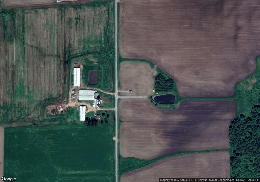
Map
Nearby Homes
- 7610 Apple Ln
- 10916 W 1st St
- 10758 W 9th St
- 7947 Victoria Ct
- 10846 W 11th St
- 10477 County Road A Unit Parcels 0300051,0300
- 2502 E Fillmore St
- 8483 County Road Y
- 2104 S Cottonwood Ave
- 2101 S Ironwood Ave
- 500 N Auburn Ave
- 2204 S Ironwood Ave
- 1507 Green Acres Dr
- 2105 S Ironwood Ave
- 1416 E 20th St
- 1509-1511 N Hume Ave
- 1415 E 20th St
- 1513 E 20th St
- 1609 E 21st St
- 1701 E 21st St
- 6843 Yellowstone Dr
- 10838 Rock Inn Rd
- 6922 County Road H
- 11075 Day Rd
- 6780 County Road H
- 6606 Yellowstone Dr
- 10959 Day Rd
- 10949 Day Rd
- 11211 Day Rd
- 7162 County Road H
- 11253 Day Rd
- 11261 Day Rd
- 6706 County Road H
- 7240 County Road H
- 7224 County Road H
- 7200 County Road H
- 11322 Day Rd
- 7390 Yellowstone Dr
- 11340 Day Rd