11058 W Highway 156 West Fork, AR 72774
Estimated Value: $304,000 - $482,000
--
Bed
3
Baths
2,192
Sq Ft
$166/Sq Ft
Est. Value
About This Home
This home is located at 11058 W Highway 156, West Fork, AR 72774 and is currently estimated at $363,667, approximately $165 per square foot. 11058 W Highway 156 is a home located in Washington County with nearby schools including West Fork Elementary School, West Fork Middle School, and West Fork High School.
Ownership History
Date
Name
Owned For
Owner Type
Purchase Details
Closed on
Sep 28, 2021
Sold by
Maggard Charlotte D
Bought by
Maggard Charlotte D
Current Estimated Value
Home Financials for this Owner
Home Financials are based on the most recent Mortgage that was taken out on this home.
Original Mortgage
$36,675
Outstanding Balance
$7,751
Interest Rate
2.8%
Mortgage Type
Purchase Money Mortgage
Estimated Equity
$355,916
Purchase Details
Closed on
Jan 9, 2006
Sold by
Posey Tom
Bought by
Maggard Charlotte D
Home Financials for this Owner
Home Financials are based on the most recent Mortgage that was taken out on this home.
Original Mortgage
$138,600
Interest Rate
6.2%
Mortgage Type
Fannie Mae Freddie Mac
Purchase Details
Closed on
Dec 3, 1997
Bought by
Lamm Gina B
Purchase Details
Closed on
Apr 10, 1996
Bought by
Lamm Dennis T and Lamm Gina B
Create a Home Valuation Report for This Property
The Home Valuation Report is an in-depth analysis detailing your home's value as well as a comparison with similar homes in the area
Home Values in the Area
Average Home Value in this Area
Purchase History
| Date | Buyer | Sale Price | Title Company |
|---|---|---|---|
| Maggard Charlotte D | $6,060 | Miller Law Offices | |
| Maggard Charlotte D | $36,675 | None Available | |
| Maggard Charlotte D | $130,000 | None Available | |
| Lamm Gina B | -- | -- | |
| Lamm Dennis T | -- | -- |
Source: Public Records
Mortgage History
| Date | Status | Borrower | Loan Amount |
|---|---|---|---|
| Open | Maggard Charlotte D | $36,675 | |
| Previous Owner | Maggard Charlotte D | $138,600 |
Source: Public Records
Tax History Compared to Growth
Tax History
| Year | Tax Paid | Tax Assessment Tax Assessment Total Assessment is a certain percentage of the fair market value that is determined by local assessors to be the total taxable value of land and additions on the property. | Land | Improvement |
|---|---|---|---|---|
| 2025 | $1,187 | $60,000 | $9,360 | $50,640 |
| 2024 | $1,210 | $60,000 | $9,360 | $50,640 |
| 2023 | $1,215 | $60,000 | $9,360 | $50,640 |
| 2022 | $1,238 | $38,480 | $3,750 | $34,730 |
| 2021 | $1,170 | $38,370 | $3,640 | $34,730 |
| 2020 | $1,098 | $38,370 | $3,640 | $34,730 |
| 2019 | $1,031 | $28,180 | $3,250 | $24,930 |
| 2018 | $1,056 | $28,180 | $3,250 | $24,930 |
| 2017 | $963 | $28,180 | $3,250 | $24,930 |
| 2016 | $1,014 | $28,180 | $3,250 | $24,930 |
| 2015 | $964 | $28,180 | $3,250 | $24,930 |
| 2014 | $1,011 | $29,180 | $3,250 | $25,930 |
Source: Public Records
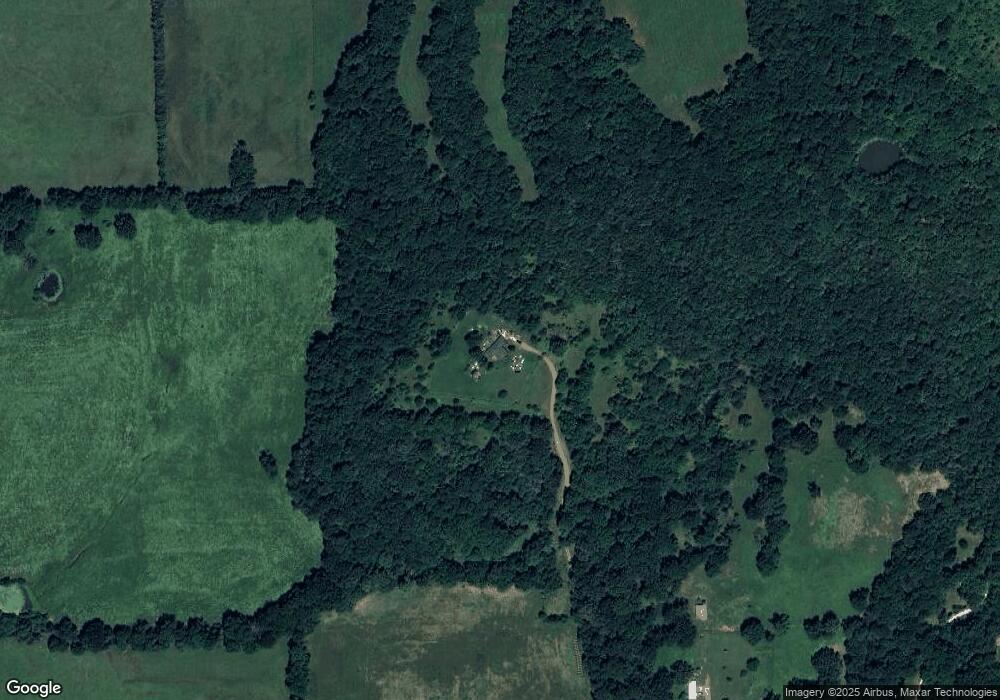
Map
Nearby Homes
- 10973 Arkansas 156
- 12685 N Billingsley Rd
- 12063 W Highway 156
- 0 Pioneer (Wc 3280) Rd Unit 1329392
- 13653 W Mountain Rd
- 815 James Place
- 875 James Place
- 13582 S Highway 170
- 14815 Paulk Rd
- 170 Arkansas 170
- 0000- Hwy 170 Devils Arkansas 170
- 321 Cedar Springs Place
- 14516 Friendship Church Rd
- 14673 Union Star Rd
- 11058 Arkansas 156
- 11068 W Highway 156
- 11010 W Highway 156
- 11020 W Highway 156
- 11004 Arkansas 156
- 13056 N Billingsley Rd
- 10932 W Highway 156
- 10926 W Highway 156
- 11193 N Norman Rd
- 11004 W Highway 156
- 11004 W Highway 156
- 11537 S Billingsley Rd
- 11511 W Highway 156
- 11175 N Norman Rd
- 12947 N Billingsley Rd
- 11558 S Billingsley Rd
- 10870 W Highway 156
- 10906 W Ar 156 Hwy
- 11385 W Highway 156
- 13699 Firefly Ln