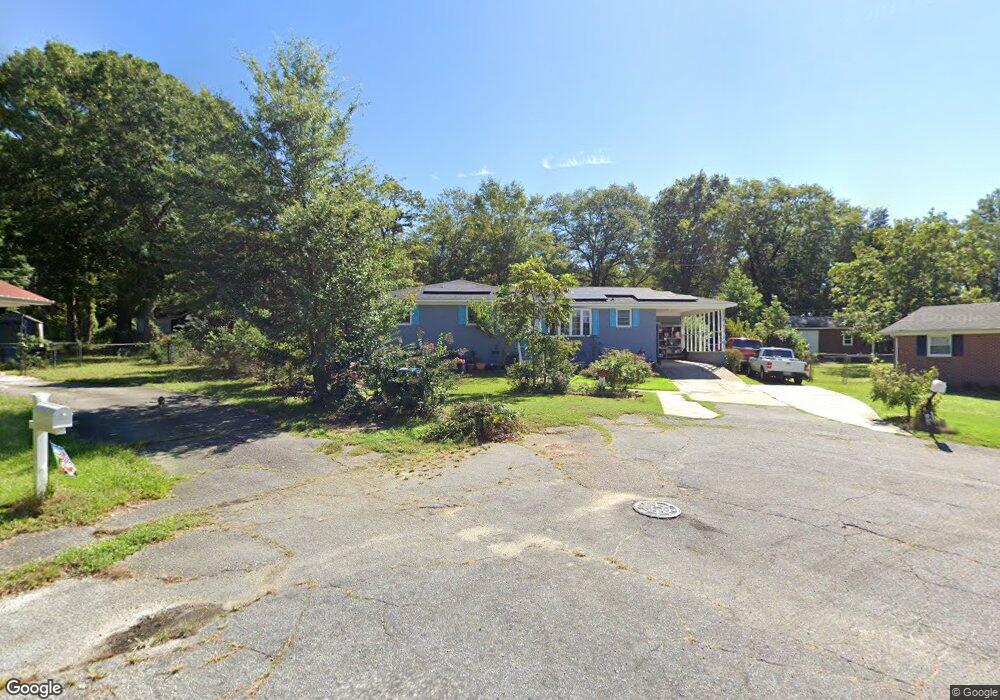
1106 Abelia Ct West Columbia, SC 29169
Estimated Value: $188,000 - $214,000
3
Beds
2
Baths
1,344
Sq Ft
$148/Sq Ft
Est. Value
About This Home
This home is located at 1106 Abelia Ct, West Columbia, SC 29169 and is currently estimated at $198,663, approximately $147 per square foot. 1106 Abelia Ct is a home located in Lexington County with nearby schools including Cayce Elementary, Cyril B. Busbee Creative Arts Academy, and Brookland-Cayce High School.
Ownership History
Date
Name
Owned For
Owner Type
Purchase Details
Closed on
Oct 10, 2006
Sold by
Pittman Michael Ray
Bought by
Roldan Armando and Roldan Miriam
Current Estimated Value
Home Financials for this Owner
Home Financials are based on the most recent Mortgage that was taken out on this home.
Original Mortgage
$110,000
Outstanding Balance
$65,276
Interest Rate
6.36%
Mortgage Type
Future Advance Clause Open End Mortgage
Estimated Equity
$133,387
Purchase Details
Closed on
Jun 23, 1998
Sold by
Dennis F G
Bought by
Dennis Evelyn Z
Create a Home Valuation Report for This Property
The Home Valuation Report is an in-depth analysis detailing your home's value as well as a comparison with similar homes in the area
Home Values in the Area
Average Home Value in this Area
Purchase History
| Date | Buyer | Sale Price | Title Company |
|---|---|---|---|
| Roldan Armando | $110,000 | None Available | |
| Dennis Evelyn Z | -- | -- |
Source: Public Records
Mortgage History
| Date | Status | Borrower | Loan Amount |
|---|---|---|---|
| Open | Roldan Armando | $110,000 | |
| Closed | Dennis Evelyn Z | -- |
Source: Public Records
Tax History Compared to Growth
Tax History
| Year | Tax Paid | Tax Assessment Tax Assessment Total Assessment is a certain percentage of the fair market value that is determined by local assessors to be the total taxable value of land and additions on the property. | Land | Improvement |
|---|---|---|---|---|
| 2024 | $711 | $3,358 | $720 | $2,638 |
| 2023 | $642 | $3,358 | $720 | $2,638 |
| 2022 | $648 | $3,358 | $720 | $2,638 |
| 2020 | $623 | $3,358 | $720 | $2,638 |
| 2019 | $588 | $3,022 | $720 | $2,302 |
| 2018 | $577 | $3,022 | $720 | $2,302 |
| 2017 | $554 | $3,022 | $720 | $2,302 |
| 2016 | $569 | $3,021 | $720 | $2,301 |
| 2014 | $492 | $3,427 | $720 | $2,707 |
| 2013 | -- | $3,430 | $720 | $2,710 |
Source: Public Records
Map
Nearby Homes
- 1210 Decatur St
- TBD Woodfield Jupiter & Daisey Track
- 826 Jefferson St
- 2312 Rainbow Dr
- 2405 Rainbow Dr
- 1911 Toole St
- 706 Westside Dr
- 725 Brooks Ave
- 1832 Wadsworth Dr
- 2032 Pinewood St
- 2024 Platt Springs Rd
- 1112 Pine Croft Dr
- 1800 Dunbar Rd
- 2107 Durham Dr
- 0 Highway 302 Hwy Unit 589442
- 2093 Durham Dr
- 2109 Durham Dr
- 153 Cavendish Dr
- 151 Cavendish Dr
- 157 Cavendish Dr
- 1110 Abelia Ct
- 100 Dale Ln
- 1001 Brookwood Cir
- 1114 Abelia Ct
- 1028 Wisteria Dr
- 1005 Brookwood Cir
- 1020 Wisteria Dr
- 1018 Wisteria Dr
- 108 Dale Ln
- 1015 Brookwood Cir
- 1036 Wisteria Dr
- 1830 Airport Blvd
- 1040 Wisteria Dr
- 1023 Brookwood Cir
- 1000 Brookwood Cir
- 1215 Decatur St
- 1023 Wisteria Dr
- 1027 Wisteria Dr
- 1025 Wisteria Dr
- 1016 Brookwood Cir