1106 Bayou Island Dr Houston, TX 77063
Briar Forest NeighborhoodEstimated Value: $548,000 - $1,236,256
3
Beds
5
Baths
4,932
Sq Ft
$207/Sq Ft
Est. Value
About This Home
This home is located at 1106 Bayou Island Dr, Houston, TX 77063 and is currently estimated at $1,021,314, approximately $207 per square foot. 1106 Bayou Island Dr is a home located in Harris County with nearby schools including Frostwood Elementary School, Memorial Middle, and Memorial High School.
Ownership History
Date
Name
Owned For
Owner Type
Purchase Details
Closed on
Dec 7, 2012
Sold by
Hult David W and Hult Claudia E
Bought by
Ong Richard M and Ong Kathie Soo
Current Estimated Value
Purchase Details
Closed on
Nov 4, 2011
Sold by
Stuckey James H and Stuckey Ira B
Bought by
Hult David N and Hult Claudia E
Home Financials for this Owner
Home Financials are based on the most recent Mortgage that was taken out on this home.
Original Mortgage
$500,000
Interest Rate
3.62%
Mortgage Type
Adjustable Rate Mortgage/ARM
Purchase Details
Closed on
Oct 11, 2011
Sold by
Bayou Island Park Homeowners Association
Bought by
Stuckey James H and Stuckey Ira B
Home Financials for this Owner
Home Financials are based on the most recent Mortgage that was taken out on this home.
Original Mortgage
$500,000
Interest Rate
3.62%
Mortgage Type
Adjustable Rate Mortgage/ARM
Purchase Details
Closed on
Jan 12, 1999
Sold by
Wexford Development Corp
Bought by
Stuckey James H and Stuckey Ira B
Create a Home Valuation Report for This Property
The Home Valuation Report is an in-depth analysis detailing your home's value as well as a comparison with similar homes in the area
Home Values in the Area
Average Home Value in this Area
Purchase History
| Date | Buyer | Sale Price | Title Company |
|---|---|---|---|
| Ong Richard M | -- | Tradition Title Company | |
| Hult David N | -- | None Available | |
| Stuckey James H | -- | None Available | |
| Stuckey James H | -- | Charter Title Company |
Source: Public Records
Mortgage History
| Date | Status | Borrower | Loan Amount |
|---|---|---|---|
| Previous Owner | Hult David N | $500,000 |
Source: Public Records
Tax History Compared to Growth
Tax History
| Year | Tax Paid | Tax Assessment Tax Assessment Total Assessment is a certain percentage of the fair market value that is determined by local assessors to be the total taxable value of land and additions on the property. | Land | Improvement |
|---|---|---|---|---|
| 2025 | $19,262 | $1,149,179 | $340,795 | $808,384 |
| 2024 | $19,262 | $1,153,334 | $340,795 | $812,539 |
| 2023 | $19,262 | $1,154,285 | $340,795 | $813,490 |
| 2022 | $26,986 | $1,154,285 | $340,795 | $813,490 |
| 2021 | $26,269 | $1,075,935 | $340,795 | $735,140 |
| 2020 | $26,959 | $1,075,935 | $340,795 | $735,140 |
| 2019 | $26,282 | $1,003,915 | $340,795 | $663,120 |
| 2018 | $11,382 | $1,162,883 | $340,795 | $822,088 |
| 2017 | $30,422 | $1,162,883 | $340,795 | $822,088 |
| 2016 | $29,868 | $1,162,883 | $340,795 | $822,088 |
| 2015 | $19,881 | $1,162,883 | $340,795 | $822,088 |
| 2014 | $19,881 | $943,552 | $209,720 | $733,832 |
Source: Public Records
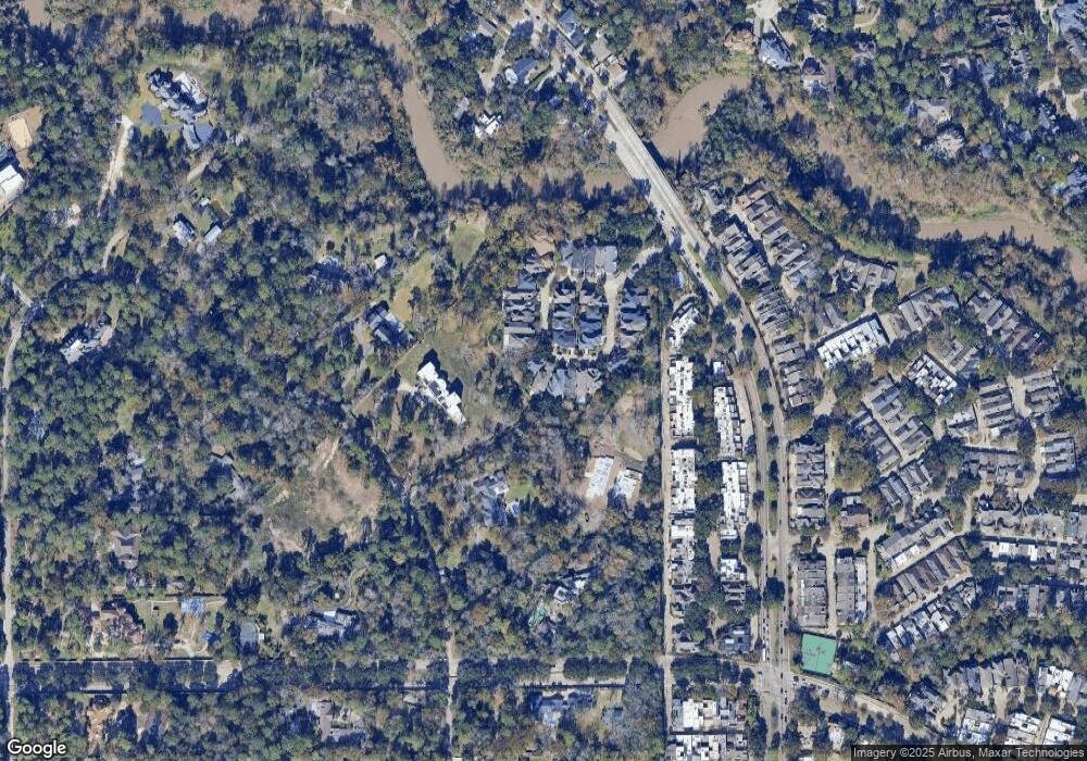
Map
Nearby Homes
- 45 Bayou Pointe Dr
- 30 E Rivercrest Dr
- 9620 Doliver Dr
- 6 Gessner Rd
- 9632 Bayou Brook St
- 9618 Bayou Brook St
- 3 Plantation Rd
- 1 Woodstone St
- 2100 Tanglewilde St Unit 750
- 2100 Tanglewilde St Unit 169
- 2100 Tanglewilde St Unit 536
- 2100 Tanglewilde St Unit 402
- 2100 Tanglewilde St Unit 422
- 2100 Tanglewilde St Unit 625
- 2100 Tanglewilde St Unit 131
- 2100 Tanglewilde St Unit 455
- 2100 Tanglewilde St Unit 600
- 2100 Tanglewilde St Unit 299
- 2100 Tanglewilde St Unit 378
- 10 Warrenton Dr
- 1110 Bayou Island Dr
- 1102 Bayou Island Dr
- 1114 Bayou Island Dr
- 1118 Bayou Island Dr
- 1054 Bayou Island Dr
- 1055 Bayou Island Dr
- 1122 Bayou Island Dr
- 1050 Bayou Island Dr
- 1047 Bayou Island Dr
- 1131 Bayou Island Dr
- 1046 Bayou Island Dr
- 1135 Bayou Island Dr
- 1043 Bayou Island Dr
- 1042 Bayou Island Dr
- 1126 Bayou Island Dr
- 1139 Bayou Island Dr
- 1038 Bayou Island Dr
- 1039 Bayou Island Dr
- 38 E Rivercrest Dr
- 1130 Bayou Island Dr