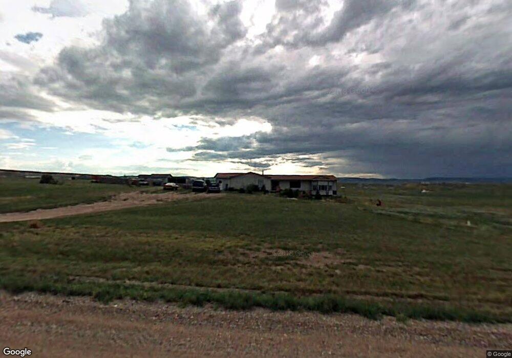
1106 Boundary Rd Cheyenne, WY 82009
Estimated Value: $503,077 - $572,000
--
Bed
1
Bath
3,400
Sq Ft
$161/Sq Ft
Est. Value
About This Home
This home is located at 1106 Boundary Rd, Cheyenne, WY 82009 and is currently estimated at $548,026, approximately $161 per square foot. 1106 Boundary Rd is a home located in Laramie County with nearby schools including Gilchrist Elementary School, McCormick Junior High School, and Central High School.
Ownership History
Date
Name
Owned For
Owner Type
Purchase Details
Closed on
Jan 26, 2021
Sold by
Evans Kelly R
Bought by
Loofboro Cindy
Current Estimated Value
Purchase Details
Closed on
Jan 17, 2018
Sold by
Stewart Roy and Stewart Robin S
Bought by
Romer Holly and Romer Rodney
Purchase Details
Closed on
Feb 11, 2009
Sold by
Stewart Roy and Stewart Robin S
Bought by
Stewart Roy and Stewart Robin S
Home Financials for this Owner
Home Financials are based on the most recent Mortgage that was taken out on this home.
Original Mortgage
$153,495
Interest Rate
4.91%
Mortgage Type
FHA
Create a Home Valuation Report for This Property
The Home Valuation Report is an in-depth analysis detailing your home's value as well as a comparison with similar homes in the area
Home Values in the Area
Average Home Value in this Area
Purchase History
| Date | Buyer | Sale Price | Title Company |
|---|---|---|---|
| Loofboro Cindy | -- | None Available | |
| Romer Holly | $147,000 | None Available | |
| Stewart Roy | -- | None Available |
Source: Public Records
Mortgage History
| Date | Status | Borrower | Loan Amount |
|---|---|---|---|
| Previous Owner | Stewart Roy | $153,495 |
Source: Public Records
Tax History Compared to Growth
Tax History
| Year | Tax Paid | Tax Assessment Tax Assessment Total Assessment is a certain percentage of the fair market value that is determined by local assessors to be the total taxable value of land and additions on the property. | Land | Improvement |
|---|---|---|---|---|
| 2025 | $3,119 | $36,349 | $5,807 | $30,542 |
| 2024 | $3,119 | $46,400 | $7,742 | $38,658 |
| 2023 | $3,002 | $45,682 | $7,742 | $37,940 |
| 2022 | $2,569 | $38,238 | $6,141 | $32,097 |
| 2021 | $2,279 | $33,837 | $4,126 | $29,711 |
| 2020 | $1,952 | $29,069 | $2,880 | $26,189 |
| 2019 | $1,881 | $27,987 | $2,732 | $25,255 |
| 2018 | $1,802 | $27,093 | $2,732 | $24,361 |
| 2017 | $1,784 | $26,557 | $2,409 | $24,148 |
| 2016 | $1,734 | $25,797 | $2,346 | $23,451 |
| 2015 | $1,740 | $25,884 | $2,346 | $23,538 |
| 2014 | $1,750 | $25,851 | $2,362 | $23,489 |
Source: Public Records
Map
Nearby Homes
- Tract 291 Boundary Rd
- TBD Boundary Rd
- Lot 99 Tennessee Rd
- 985 Range Line Rd
- 0 Range Line Rd
- 1092 Bade Rd
- TBD Bade Rd
- 1100 Brundage Rd
- 1113 Indiana Rd
- 1102 Dusty Rd
- Tract 300 S Carolina Rd
- Tract 295 S Carolina Rd
- 1015 Bade Rd
- Lot 346 Carribean Rd
- Lot 340 Carribean Rd
- Lot 366 Carribean Rd
- Tract 334 Bering Rd
- 1207 Road 113
- Tract 234 Samoa Rd
- 1526 Fox Chase Rd
- 1282 Cole Rd
- 1090 Boundary Rd
- 1114 Boundary Rd
- 1274 Cole Rd
- 1118 Boundary Rd
- 1267 Cole Rd
- 1277 Brundage Rd
- 1126 Boundary Rd
- 1082 Boundary Rd
- 1284 Happy Jack Rd
- Tract 6 Brundage Rd
- 1281 Brundage Rd
- 1267 Ventor Rd
- 1258 Cole Rd
- 1276 Happy Jack Rd
- 1297 Ventnor Rd
- 1282 Brundage Rd
- 1266 Brundage Rd
- 1250 Cole Rd
- 1075 States Rd