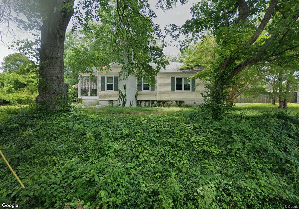
1106 Council St High Point, NC 27262
Downtown High Point NeighborhoodEstimated Value: $235,197 - $308,000
5
Beds
2
Baths
1,696
Sq Ft
$164/Sq Ft
Est. Value
About This Home
This home is located at 1106 Council St, High Point, NC 27262 and is currently estimated at $278,299, approximately $164 per square foot. 1106 Council St is a home located in Guilford County with nearby schools including Northwood Elementary School, Ferndale Middle School, and High Point Central High School.
Ownership History
Date
Name
Owned For
Owner Type
Purchase Details
Closed on
Aug 10, 2023
Sold by
Serrano Raquel and Serrano Paul
Bought by
Serrano Raquel
Current Estimated Value
Home Financials for this Owner
Home Financials are based on the most recent Mortgage that was taken out on this home.
Original Mortgage
$207,061
Outstanding Balance
$201,493
Interest Rate
6.78%
Mortgage Type
FHA
Estimated Equity
$76,806
Purchase Details
Closed on
Apr 26, 2019
Sold by
Ortiz Paul and Ortiz Rebecca R
Bought by
Serrano Paul and Serrano Raquel
Home Financials for this Owner
Home Financials are based on the most recent Mortgage that was taken out on this home.
Original Mortgage
$105,680
Interest Rate
3.99%
Mortgage Type
FHA
Purchase Details
Closed on
Dec 30, 1996
Bought by
Ortiz Paul
Create a Home Valuation Report for This Property
The Home Valuation Report is an in-depth analysis detailing your home's value as well as a comparison with similar homes in the area
Home Values in the Area
Average Home Value in this Area
Purchase History
| Date | Buyer | Sale Price | Title Company |
|---|---|---|---|
| Serrano Raquel | -- | None Listed On Document | |
| Serrano Paul | $109,500 | Amrock | |
| Ortiz Paul | $114,500 | -- |
Source: Public Records
Mortgage History
| Date | Status | Borrower | Loan Amount |
|---|---|---|---|
| Open | Serrano Raquel | $207,061 | |
| Previous Owner | Serrano Paul | $105,680 |
Source: Public Records
Tax History
| Year | Tax Paid | Tax Assessment Tax Assessment Total Assessment is a certain percentage of the fair market value that is determined by local assessors to be the total taxable value of land and additions on the property. | Land | Improvement |
|---|---|---|---|---|
| 2025 | $1,893 | $137,400 | $30,000 | $107,400 |
| 2024 | $1,893 | $137,400 | $30,000 | $107,400 |
| 2023 | $1,893 | $137,400 | $30,000 | $107,400 |
| 2022 | $1,852 | $137,400 | $30,000 | $107,400 |
| 2021 | $1,597 | $115,900 | $25,000 | $90,900 |
| 2020 | $1,597 | $115,900 | $25,000 | $90,900 |
| 2019 | $1,597 | $115,900 | $0 | $0 |
| 2018 | $1,589 | $115,900 | $0 | $0 |
| 2017 | $1,597 | $115,900 | $0 | $0 |
| 2016 | $1,712 | $122,100 | $0 | $0 |
| 2015 | $1,722 | $122,100 | $0 | $0 |
| 2014 | $1,751 | $122,100 | $0 | $0 |
Source: Public Records
Map
Nearby Homes
- 705 Delmont St
- 1113 Clyde Place
- 803 Sunset Dr
- 949 Council St
- 630 Colonial Dr
- 210 W Parkway Ave
- 602 W Westwood Ave
- 810 Ferndale Blvd
- 1203 N Main St Unit F
- 510 Otteray Ave
- 207 Hillcrest Dr
- 1102 Johnson St
- 1004 Adams St
- 427 Woodbrook Dr
- 417 Hillcrest Dr
- 1116 Ferndale Blvd
- 1311 Prescott Place
- 705 Carr St
- 443 W Lexington Ave
- 511 E Farriss Ave
Your Personal Tour Guide
Ask me questions while you tour the home.