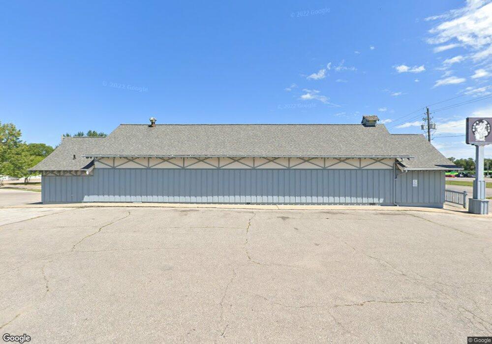
1106 Laporte Rd Waterloo, IA 50702
Liberty Park NeighborhoodEstimated Value: $301,005
About This Home
This home is located at 1106 Laporte Rd, Waterloo, IA 50702 and is currently estimated at $301,005, approximately $119 per square foot. 1106 Laporte Rd is a home located in Black Hawk County with nearby schools including Kittrell Elementary School, Hoover Middle School, and West High School.
Ownership History
We collect this data history from publicly available records. To have your information removed, we recommend requesting removal directly through your county’s website.
Purchase Details
Home Financials for this Owner
Home Financials are based on the most recent Mortgage that was taken out on this home.Home Values in the Area
Average Home Value in this Area
Purchase History
We collect this data history from publicly available records. To have your information removed, we recommend requesting removal directly through your county’s website.
| Date | Buyer | Sale Price | Title Company |
|---|---|---|---|
| -- | None Available | ||
| -- | None Available |
Mortgage History
We collect this data history from publicly available records. To have your information removed, we recommend requesting removal directly through your county’s website.
| Date | Status | Borrower | Loan Amount |
|---|---|---|---|
| Open | $196,459 |
Tax History
We collect this data history from publicly available records. To have your information removed, we recommend requesting removal directly through your county’s website.
| Year | Tax Paid | Tax Assessment Tax Assessment Total Assessment is a certain percentage of the fair market value that is determined by local assessors to be the total taxable value of land and additions on the property. | Land | Improvement |
|---|---|---|---|---|
| 2025 | $9,514 | $302,080 | $179,520 | $122,560 |
| 2024 | $9,514 | $302,080 | $179,520 | $122,560 |
| 2023 | $6,012 | $302,080 | $179,520 | $122,560 |
| 2022 | $5,068 | $225,120 | $112,200 | $112,920 |
| 2021 | $5,098 | $225,120 | $112,200 | $112,920 |
| 2020 | $5,090 | $225,120 | $112,200 | $112,920 |
| 2019 | $5,090 | $225,120 | $112,200 | $112,920 |
| 2018 | $4,996 | $222,240 | $112,200 | $110,040 |
Map
- 1102 Ohio St
- 1043 Minnesota St Unit 1045
- 1841 Glenny Ave
- 1932 Plymouth Ave
- Lot #4 Denver St
- Lot #6 Denver St
- Outlot A Sovia Dr Unit Outlot A
- 406-408 Gladys St
- 1717 Forest Ave
- Outlot C E Ridgeway Ave Unit Outlot C
- Outlot B E Ridgeway Ave Unit Outlot B
- 1600 Forest Ave
- 1228 Lyon Ave
- 1535 Hawthorne Ave
- 1543 Lyon Ave
- 1503 Hammond Ave
- 1312 Lois Ln
- Lot 1 Crossroads Blvd
- Lot 4 Crossroads Blvd
- Lot 3 Crossroads Blvd
- 1118 Laporte Rd
- 1913 Cornwall Ave
- 1106 La Porte Rd
- 1912 Bourland Ave
- 1910 Bourland Ave
- 1912 Cornwall Ave
- 1909 Cornwall Ave
- 1908 Bourland Ave
- 1910 Cornwall Ave
- 1915 Bourland Ave
- 1907 Cornwall Ave
- 1908 Cornwall Ave
- 1906 Bourland Ave
- 1911 Bourland Ave
- 1906 Cornwall Ave
- 1909 Bourland Ave
- 1905 Cornwall Ave
- 1911 Lorraine Ave
- 1904 Bourland Ave
- 1913 Lorraine Ave
Ask me questions while you tour the home.