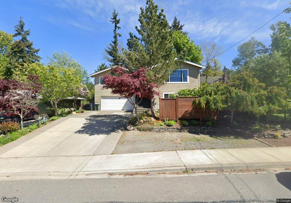
1106 Nevada St Bellingham, WA 98229
Puget NeighborhoodEstimated Value: $635,000 - $1,098,000
3
Beds
3
Baths
2,728
Sq Ft
$311/Sq Ft
Est. Value
About This Home
This home is located at 1106 Nevada St, Bellingham, WA 98229 and is currently estimated at $849,075, approximately $311 per square foot. 1106 Nevada St is a home located in Whatcom County with nearby schools including Carl Cozier Elementary School, Kulshan Middle School, and Sehome High School.
Ownership History
Date
Name
Owned For
Owner Type
Purchase Details
Closed on
Jun 23, 1999
Sold by
Alfred Arvid A and Alfred Cleo A
Bought by
Ashurst Peter C and Ashurst Laura L
Current Estimated Value
Home Financials for this Owner
Home Financials are based on the most recent Mortgage that was taken out on this home.
Original Mortgage
$135,703
Outstanding Balance
$36,350
Interest Rate
7.24%
Estimated Equity
$812,725
Create a Home Valuation Report for This Property
The Home Valuation Report is an in-depth analysis detailing your home's value as well as a comparison with similar homes in the area
Home Values in the Area
Average Home Value in this Area
Purchase History
| Date | Buyer | Sale Price | Title Company |
|---|---|---|---|
| Ashurst Peter C | $139,900 | First American Title Ins Co |
Source: Public Records
Mortgage History
| Date | Status | Borrower | Loan Amount |
|---|---|---|---|
| Open | Ashurst Peter C | $135,703 |
Source: Public Records
Tax History Compared to Growth
Tax History
| Year | Tax Paid | Tax Assessment Tax Assessment Total Assessment is a certain percentage of the fair market value that is determined by local assessors to be the total taxable value of land and additions on the property. | Land | Improvement |
|---|---|---|---|---|
| 2024 | $5,773 | $716,209 | $219,622 | $496,587 |
| 2023 | $5,773 | $741,815 | $227,474 | $514,341 |
| 2022 | $4,729 | $631,336 | $193,596 | $437,740 |
| 2021 | $4,396 | $509,156 | $156,130 | $353,026 |
| 2020 | $4,317 | $446,624 | $136,955 | $309,669 |
| 2019 | $3,853 | $423,943 | $130,000 | $293,943 |
| 2018 | $4,000 | $379,354 | $98,735 | $280,619 |
| 2017 | $3,525 | $336,731 | $87,640 | $249,091 |
| 2016 | $3,191 | $310,148 | $80,640 | $229,508 |
| 2015 | $3,141 | $292,323 | $76,440 | $215,883 |
| 2014 | -- | $278,393 | $72,800 | $205,593 |
| 2013 | -- | $264,139 | $70,000 | $194,139 |
Source: Public Records
Map
Nearby Homes
- 1401 Edwards St
- 1200 Lincoln St Unit 196
- 1200 Lincoln St Unit 117
- 1200 Lincoln St Unit 154
- 1227 Puget St
- 1117 W Racine St
- 0 Lopez St
- 1501 Lakeway Dr
- 905 Queen St
- 1356 Orleans St
- 805 Nevada St
- 1125 Otis St
- 115 43rd St
- 1234 Grant St
- 1205 E Maple St
- 143 S 44th St
- 1335 Humboldt St
- 910 Gladstone St Unit 205
- 1470 James St
- 1309 Billy Frank Jr St
- 1102 Nevada St
- 1114 Nevada St
- 1235 Edwards St
- 1255 Edwards St
- 1255 Edwards St
- 1124 Nevada St
- 1319 Whatcom St
- 1062 Nevada St
- 1109 Nevada St
- 1119 Nevada St
- 1101 Nevada St
- 1123 Nevada St
- 1315 Whatcom St
- 1136 Nevada St
- 1058 Nevada St
- 1125 Nevada St
- 1054 Nevada St
- 1321 Whatcom St
- 1323 Whatcom St Unit 13
- 1061 Nevada St