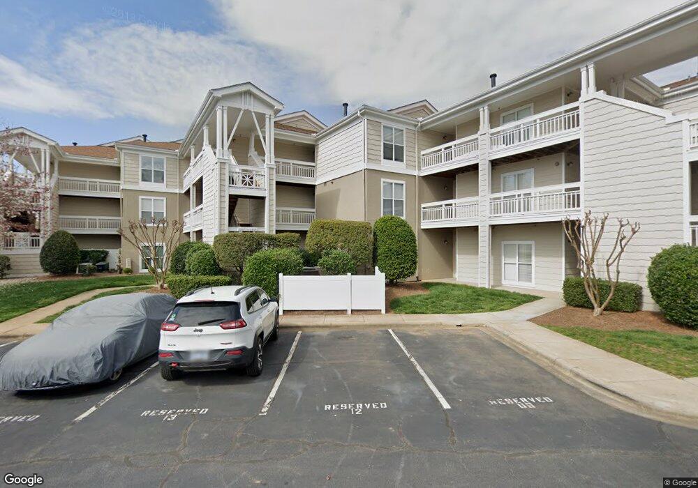
1106 Torrence Cir Davidson, NC 28036
Estimated Value: $504,000 - $583,000
2
Beds
2
Baths
1,109
Sq Ft
$486/Sq Ft
Est. Value
About This Home
This home is located at 1106 Torrence Cir, Davidson, NC 28036 and is currently estimated at $538,689, approximately $485 per square foot. 1106 Torrence Cir is a home located in Mecklenburg County with nearby schools including Davidson Elementary School, William Amos Hough High School, and Davidson Day School.
Ownership History
Date
Name
Owned For
Owner Type
Purchase Details
Closed on
May 14, 2001
Sold by
Mckinnon Scott Richard and Mckinnon Amy Lynn
Bought by
Mckinnon Scott R
Current Estimated Value
Purchase Details
Closed on
Mar 23, 1998
Sold by
S Mckinnon Scott Richard R and Huff Amy L
Bought by
Mckinnon Scott Richard and Mckinnon Amy Lynn
Home Financials for this Owner
Home Financials are based on the most recent Mortgage that was taken out on this home.
Original Mortgage
$117,750
Interest Rate
7.01%
Mortgage Type
Purchase Money Mortgage
Create a Home Valuation Report for This Property
The Home Valuation Report is an in-depth analysis detailing your home's value as well as a comparison with similar homes in the area
Home Values in the Area
Average Home Value in this Area
Purchase History
| Date | Buyer | Sale Price | Title Company |
|---|---|---|---|
| Mckinnon Scott R | -- | -- | |
| Mckinnon Scott Richard | -- | -- |
Source: Public Records
Mortgage History
| Date | Status | Borrower | Loan Amount |
|---|---|---|---|
| Closed | Mckinnon Scott Richard | $117,750 |
Source: Public Records
Tax History
| Year | Tax Paid | Tax Assessment Tax Assessment Total Assessment is a certain percentage of the fair market value that is determined by local assessors to be the total taxable value of land and additions on the property. | Land | Improvement |
|---|---|---|---|---|
| 2025 | $2,994 | $393,122 | -- | $393,122 |
| 2024 | $2,994 | $393,122 | -- | $393,122 |
| 2023 | $2,950 | $393,122 | $0 | $393,122 |
| 2022 | $2,345 | $258,600 | $0 | $258,600 |
| 2021 | $2,345 | $258,600 | $0 | $258,600 |
| 2020 | $2,345 | $258,600 | $0 | $258,600 |
| 2019 | $2,403 | $258,600 | $0 | $258,600 |
| 2018 | $2,428 | $199,500 | $70,000 | $129,500 |
| 2017 | $2,410 | $199,500 | $70,000 | $129,500 |
| 2016 | -- | $199,500 | $70,000 | $129,500 |
| 2015 | -- | $199,500 | $70,000 | $129,500 |
| 2014 | $2,401 | $199,500 | $70,000 | $129,500 |
Source: Public Records
Map
Nearby Homes
- 1125 Torrence Cir Unit 67
- 1113 Torrence Cir Unit 61
- 1018 Southwest Dr
- 854 Southwest Dr Unit 54
- 754 Southwest Dr Unit 5
- 753 Southwest Dr Unit 4
- 633 Portside Dr
- 306 Northwest Dr
- 345 Northwest Dr Unit 45
- 367 Northwest Dr Unit 67
- 714 Northeast Dr Unit 44
- 714 Northeast Dr Unit 52
- 930 Jetton St Unit 20
- 921 Northeast Dr Unit 38
- 921 Northeast Dr Unit 29
- 245 Davidson Gateway Dr
- 241 Davidson Gateway Dr
- 233 Davidson Gateway Dr
- 229 Davidson Gateway Dr
- 441 Delburg Mill Aly
- 1105 Torrence Cir Unit 53
- 1108 Torrence Cir Unit 56
- 1111 Torrence Cir Unit 59
- 1040 Southwest Dr Unit 40
- 1107 Torrence Cir Unit 55
- 1107 Torrence Cir Unit 55 BLDG 1 U/F 3
- 1112 Torrence Cir
- 1112 Torrence Cir Unit 1112
- 1110 Torrence Cir Unit 58
- 1104 Torrence Cir Unit 52
- 1114 Torrence Cir
- 1032 Southwest Dr
- 1031 Southwest Dr Unit 31
- 1032 Southwest Dr Unit 32
- 1103 Torrence Cir Unit 51
- 1118 Torrence Cir
- 1102 Torrence Cir Unit 50
- 1115 Torrence Cir Unit 63
- 1115 Torrence Cir
- 1035 Southwest Dr Unit III35
Your Personal Tour Guide
Ask me questions while you tour the home.