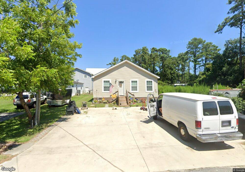
1106 W Dean St Kill Devil Hills, NC 27948
Estimated Value: $346,000 - $578,000
3
Beds
2
Baths
1,920
Sq Ft
$247/Sq Ft
Est. Value
About This Home
This home is located at 1106 W Dean St, Kill Devil Hills, NC 27948 and is currently estimated at $473,568, approximately $246 per square foot. 1106 W Dean St is a home with nearby schools including Nags Head Elementary School, Manteo Middle School, and Manteo High School.
Ownership History
Date
Name
Owned For
Owner Type
Purchase Details
Closed on
Nov 3, 2016
Sold by
Salas Daniel J and Lake Pamela
Bought by
Salas Daniel J
Current Estimated Value
Home Financials for this Owner
Home Financials are based on the most recent Mortgage that was taken out on this home.
Original Mortgage
$240,562
Outstanding Balance
$192,610
Interest Rate
3.42%
Mortgage Type
FHA
Estimated Equity
$280,958
Purchase Details
Closed on
Jan 26, 2007
Sold by
Salas Danel J
Bought by
Salas Daniel J and Lake Pamela
Purchase Details
Closed on
Oct 21, 2005
Sold by
Lanning Virgil and Lanning Toni
Bought by
Salas Daniel J
Home Financials for this Owner
Home Financials are based on the most recent Mortgage that was taken out on this home.
Original Mortgage
$112,000
Interest Rate
5.76%
Mortgage Type
Commercial
Create a Home Valuation Report for This Property
The Home Valuation Report is an in-depth analysis detailing your home's value as well as a comparison with similar homes in the area
Home Values in the Area
Average Home Value in this Area
Purchase History
| Date | Buyer | Sale Price | Title Company |
|---|---|---|---|
| Salas Daniel J | -- | Attorney | |
| Salas Daniel J | -- | None Available | |
| Salas Daniel J | $140,000 | None Available |
Source: Public Records
Mortgage History
| Date | Status | Borrower | Loan Amount |
|---|---|---|---|
| Open | Salas Daniel J | $240,562 | |
| Previous Owner | Salas Daniel J | $112,000 |
Source: Public Records
Tax History
| Year | Tax Paid | Tax Assessment Tax Assessment Total Assessment is a certain percentage of the fair market value that is determined by local assessors to be the total taxable value of land and additions on the property. | Land | Improvement |
|---|---|---|---|---|
| 2025 | $2,119 | $390,100 | $133,300 | $256,800 |
| 2024 | $1,762 | $233,200 | $67,500 | $165,700 |
| 2023 | $1,762 | $233,200 | $67,500 | $165,700 |
| 2022 | $1,680 | $233,200 | $67,500 | $165,700 |
| 2021 | $1,680 | $233,200 | $67,500 | $165,700 |
| 2020 | $1,228 | $233,200 | $67,500 | $165,700 |
| 2019 | $1,228 | $141,200 | $54,700 | $86,500 |
| 2018 | $0 | $141,200 | $54,700 | $86,500 |
| 2017 | $499 | $58,600 | $54,700 | $3,900 |
| 2016 | $475 | $58,600 | $54,700 | $3,900 |
| 2014 | $458 | $58,600 | $54,700 | $3,900 |
Source: Public Records
Map
Nearby Homes
- 1308 Theodore St Unit 5
- 1306 Theodore St Unit Lot 4
- 0 10th Ave Unit Lot 2R 130569
- 1208 Swan St Unit 4
- 1208 Swan St Unit 2
- 1208 Swan St Unit 5
- 1208 Swan St Unit 1
- 1208 -2 Swan St Unit 2
- 1208 -1 Swan St Unit 1
- 311 Gunas Dr Unit 17
- 311 Gunas Dr
- 0 W Martin St
- 809 9th Ave Unit 809-B
- 205 W Atlantic St Unit Lot 3
- 0 W Boundary St Unit Lot 1-R 130568
- 209 E Lake Dr Unit Lot18
- 302 W Clark St Unit Lot 6
- 1511 Wrightsville Blvd Unit Lot 64
- 111 Carolyn Dr Unit E
- 704 Swan St Unit 2
- 1108 W Dean St
- 1104 W Dean St
- 1100 W Dean St
- 1408 Mollie St
- 1411 Hill St
- 1409 Hill St
- 1406 Mollie St
- 1412 Hill St Unit Lot 7
- 1412 Hill St
- 1410 Hill St
- 1414 Hill St Unit Lot 8
- 1414 Hill St
- 1107 W Dean St
- 1408 Hill St
- 1416 Hill St
- 1105 W Dean St
- 1418 Hill St
- 1109 Holly St
- 1105 Holly St
- 1006 W Dean St Unit 13
Your Personal Tour Guide
Ask me questions while you tour the home.