1106 W Northeast Shore Dr McHenry, IL 60051
Estimated Value: $202,000 - $250,000
3
Beds
1
Bath
1,240
Sq Ft
$183/Sq Ft
Est. Value
About This Home
This home is located at 1106 W Northeast Shore Dr, McHenry, IL 60051 and is currently estimated at $227,465, approximately $183 per square foot. 1106 W Northeast Shore Dr is a home located in McHenry County with nearby schools including Edgebrook Elementary School, Chauncey H Duker School, and Mchenry Middle School.
Ownership History
Date
Name
Owned For
Owner Type
Purchase Details
Closed on
Jun 14, 2004
Sold by
Pellikan John T and Pellikan Jodi C
Bought by
Bebout Benjamin R
Current Estimated Value
Home Financials for this Owner
Home Financials are based on the most recent Mortgage that was taken out on this home.
Original Mortgage
$118,000
Outstanding Balance
$53,782
Interest Rate
5%
Mortgage Type
Purchase Money Mortgage
Estimated Equity
$173,683
Purchase Details
Closed on
Jul 27, 2001
Sold by
Prisuta Betty J and Montano Betty J
Bought by
Pellikan John and Pellikan Jodi
Home Financials for this Owner
Home Financials are based on the most recent Mortgage that was taken out on this home.
Original Mortgage
$126,500
Interest Rate
7.14%
Purchase Details
Closed on
Mar 14, 1994
Sold by
Mezzano Anthony A
Bought by
Prisuta Betty J
Create a Home Valuation Report for This Property
The Home Valuation Report is an in-depth analysis detailing your home's value as well as a comparison with similar homes in the area
Home Values in the Area
Average Home Value in this Area
Purchase History
| Date | Buyer | Sale Price | Title Company |
|---|---|---|---|
| Bebout Benjamin R | $147,500 | Ticor | |
| Pellikan John | $126,500 | First American | |
| Prisuta Betty J | -- | -- |
Source: Public Records
Mortgage History
| Date | Status | Borrower | Loan Amount |
|---|---|---|---|
| Open | Bebout Benjamin R | $118,000 | |
| Previous Owner | Pellikan John | $126,500 |
Source: Public Records
Tax History Compared to Growth
Tax History
| Year | Tax Paid | Tax Assessment Tax Assessment Total Assessment is a certain percentage of the fair market value that is determined by local assessors to be the total taxable value of land and additions on the property. | Land | Improvement |
|---|---|---|---|---|
| 2024 | $2,737 | $42,408 | $16,787 | $25,621 |
| 2023 | $2,609 | $38,030 | $15,054 | $22,976 |
| 2022 | $2,568 | $34,778 | $13,767 | $21,011 |
| 2021 | $2,439 | $32,606 | $12,907 | $19,699 |
| 2020 | $2,407 | $31,629 | $12,520 | $19,109 |
| 2019 | $2,322 | $30,071 | $11,903 | $18,168 |
| 2018 | $1,801 | $22,760 | $9,316 | $13,444 |
| 2017 | $1,747 | $21,805 | $8,925 | $12,880 |
| 2016 | $1,696 | $20,804 | $8,515 | $12,289 |
| 2013 | -- | $35,362 | $8,104 | $27,258 |
Source: Public Records
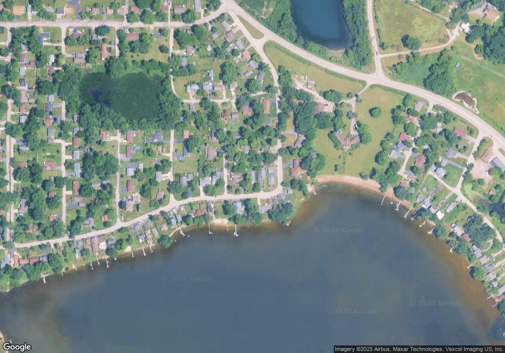
Map
Nearby Homes
- 2509 S Birchwood Ave
- 2501 S Birchwood Ave
- Lot 12 W Northeast Shore Dr
- Lot 11 W Northeast Shore Dr
- Lot 10 W Northeast Shore Dr
- Lot 9 W Northeast Shore Dr
- Lot 8 W Northeast Shore Dr
- Lot 7 W Northeast Shore Dr
- Lot 4 W Northeast Shore Dr
- Lot 5 W Northeast Shore Dr
- Lot 6 W Northeast Shore Dr
- Lot 3 W Northeast Shore Dr
- Lot 2 W Northeast Shore Dr
- 2610 S Thomas Ct
- Lot 5 Tower Dr
- Lot 20 Holiday Dr
- 244 Red Oak Ct
- 404 Lauren Ln
- Newport - Two-story Plan at Prairie Woods
- Madison - Two-story Plan at Prairie Woods
- 1104 W Northeast Shore Dr
- 1102 W Northeast Shore Dr
- 1110 W Northeast Shore Dr
- 2512 S Michael Ct
- 2511 S Vaupell Dr
- 1111 W Northeast Shore Dr
- 1105 W Northeast Shore Dr
- 2508 S Michael Ct
- 2507 S Vaupell Dr
- 1114 W Northeast Shore Dr
- 1103 W Northeast Shore Dr
- 2506 S Michael Ct
- 2506 S Michael Ct
- 2503 S Vaupell Dr
- 1101 W Northeast Shore Dr
- 1117 W Northeast Shore Dr
- 2509 S Michael Ct
- 1116 W Northeast Shore Dr
- 2505 S Michael Ct
- 2505 S Michael Ct