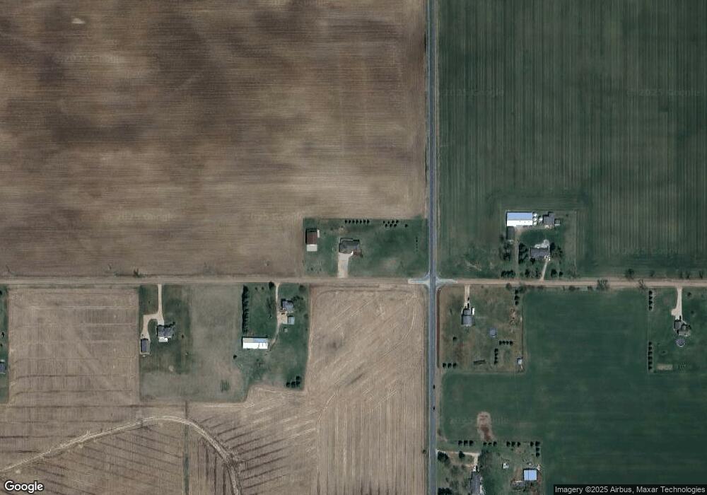
11060 W Jason Rd Westphalia, MI 48894
Estimated Value: $340,000 - $517,000
--
Bed
3
Baths
2,172
Sq Ft
$210/Sq Ft
Est. Value
About This Home
This home is located at 11060 W Jason Rd, Westphalia, MI 48894 and is currently estimated at $456,685, approximately $210 per square foot. 11060 W Jason Rd is a home located in Clinton County with nearby schools including Pewamo-Westphalia Elementary School, Pewamo-Westphalia Junior/Senior High School, and St Mary's School.
Ownership History
Date
Name
Owned For
Owner Type
Purchase Details
Closed on
Aug 30, 2016
Sold by
Platte Robert and Platte Pamela J
Bought by
Thelen Keith H and Thelen Nicole L
Current Estimated Value
Home Financials for this Owner
Home Financials are based on the most recent Mortgage that was taken out on this home.
Original Mortgage
$243,090
Outstanding Balance
$194,296
Interest Rate
3.45%
Mortgage Type
New Conventional
Estimated Equity
$262,389
Purchase Details
Closed on
May 20, 2011
Sold by
Spitzley Daryl
Bought by
Platte Robert and Platte Pamela J
Home Financials for this Owner
Home Financials are based on the most recent Mortgage that was taken out on this home.
Original Mortgage
$168,000
Interest Rate
4.96%
Mortgage Type
New Conventional
Create a Home Valuation Report for This Property
The Home Valuation Report is an in-depth analysis detailing your home's value as well as a comparison with similar homes in the area
Home Values in the Area
Average Home Value in this Area
Purchase History
| Date | Buyer | Sale Price | Title Company |
|---|---|---|---|
| Thelen Keith H | $270,100 | None Available | |
| Platte Robert | $210,000 | First American Title Ins Co |
Source: Public Records
Mortgage History
| Date | Status | Borrower | Loan Amount |
|---|---|---|---|
| Open | Thelen Keith H | $243,090 | |
| Previous Owner | Platte Robert | $168,000 |
Source: Public Records
Tax History Compared to Growth
Tax History
| Year | Tax Paid | Tax Assessment Tax Assessment Total Assessment is a certain percentage of the fair market value that is determined by local assessors to be the total taxable value of land and additions on the property. | Land | Improvement |
|---|---|---|---|---|
| 2025 | $4,617 | $245,000 | $28,800 | $216,200 |
| 2024 | $1,960 | $241,000 | $36,100 | $204,900 |
| 2023 | $1,856 | $212,700 | $0 | $0 |
| 2022 | $4,071 | $203,000 | $29,300 | $173,700 |
| 2021 | $3,949 | $185,600 | $24,800 | $160,800 |
| 2020 | $3,223 | $158,000 | $20,300 | $137,700 |
| 2019 | $1,799 | $148,100 | $16,100 | $132,000 |
| 2018 | $3,233 | $124,100 | $15,400 | $108,700 |
| 2017 | -- | $129,400 | $16,400 | $113,000 |
| 2016 | -- | $125,700 | $15,500 | $110,200 |
| 2015 | -- | $117,600 | $0 | $0 |
| 2011 | -- | $117,400 | $0 | $0 |
Source: Public Records
Map
Nearby Homes
- 11191 W Chadwick Rd
- 11471 S Bauer Rd
- 7880 S Lowell Rd
- 10349 S Francis Rd
- 10880 S Francis Rd
- V/L W M21
- 11138 W 2nd St
- 11877 W Herbison Rd
- 11433 S Francis Rd
- 11255 W Wayne St
- 11781 W Herbison Rd
- 11040 W Ionia St
- 10911 E Kent St
- 0 Mountainmint Cir Unit 287877
- 13433 S Grange Rd
- 0 Chicory Ln Unit 292757
- Lot 8 N Wright Rd
- 982 Norway Dr
- 7895 W Herbison Rd
- 10696 W Clark Rd
- 11121 W Jason Rd
- 10987 W Jason Rd
- 10910 W Jason Rd
- 7143 S Wright Rd
- 11223 W Jason Rd
- 10801 W Jason Rd
- 11355 W Jason Rd
- 11484 W Jason Rd
- 11501 W Jason Rd
- 6515 S Wright Rd
- 7455 S Wright Rd
- 6500 S Wright Rd
- 10520 W Jason Rd
- 6449 S Wright Rd
- 10517 W Jason Rd
- 6448 S Wright Rd
- 7566 S Wright Rd
- 11688 W Jason Rd
- 11363 W Price Rd
- 7670 Wright Rd
