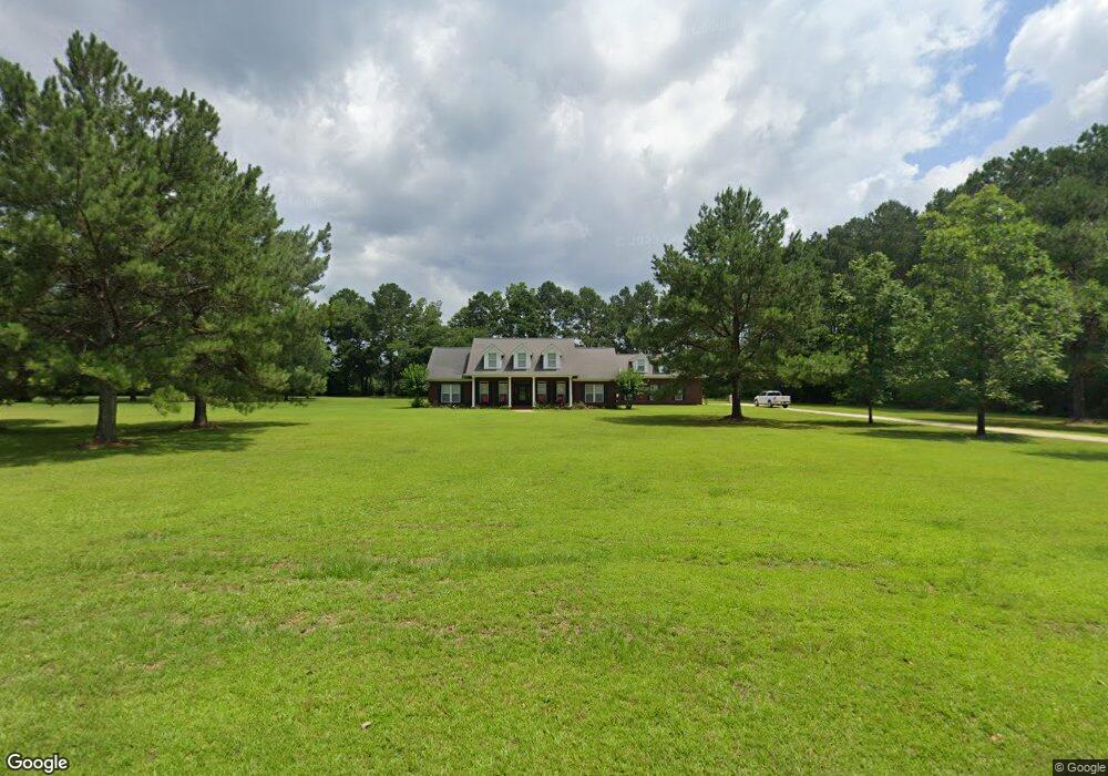
11066 Byron Ct E Semmes, AL 36575
Outer Semmes NeighborhoodEstimated Value: $389,000 - $583,000
Studio
1
Bath
4,217
Sq Ft
$113/Sq Ft
Est. Value
About This Home
This home is located at 11066 Byron Ct E, Semmes, AL 36575 and is currently estimated at $475,025, approximately $112 per square foot. 11066 Byron Ct E is a home located in Mobile County with nearby schools including Allentown Elementary School, Semmes Middle School, and Mary G Montgomery High School.
Ownership History
Date
Name
Owned For
Owner Type
Purchase Details
Closed on
Aug 30, 2001
Sold by
Denney Richard Imms and Denney Chasity Ivie
Bought by
Britton Howard and Britton Redonda
Current Estimated Value
Home Financials for this Owner
Home Financials are based on the most recent Mortgage that was taken out on this home.
Original Mortgage
$45,094
Outstanding Balance
$17,102
Interest Rate
7.08%
Estimated Equity
$457,923
Create a Home Valuation Report for This Property
The Home Valuation Report is an in-depth analysis detailing your home's value as well as a comparison with similar homes in the area
Home Values in the Area
Average Home Value in this Area
Purchase History
| Date | Buyer | Sale Price | Title Company |
|---|---|---|---|
| Britton Howard | -- | -- |
Source: Public Records
Mortgage History
| Date | Status | Borrower | Loan Amount |
|---|---|---|---|
| Open | Britton Howard | $45,094 |
Source: Public Records
Tax History
| Year | Tax Paid | Tax Assessment Tax Assessment Total Assessment is a certain percentage of the fair market value that is determined by local assessors to be the total taxable value of land and additions on the property. | Land | Improvement |
|---|---|---|---|---|
| 2025 | $2,062 | $43,880 | $5,250 | $38,630 |
| 2024 | $2,062 | $42,580 | $4,500 | $38,080 |
| 2023 | $1,998 | $40,790 | $3,960 | $36,830 |
| 2022 | $1,825 | $39,020 | $7,200 | $31,820 |
| 2021 | $1,840 | $39,310 | $7,200 | $32,110 |
| 2020 | $1,897 | $40,490 | $7,700 | $32,790 |
| 2019 | $1,815 | $38,800 | $0 | $0 |
| 2018 | $1,830 | $39,120 | $0 | $0 |
| 2017 | $1,852 | $39,560 | $0 | $0 |
| 2016 | $1,855 | $39,620 | $0 | $0 |
| 2013 | $1,840 | $39,000 | $0 | $0 |
Source: Public Records
Map
Nearby Homes
- 3240 Normandy Dr E
- 11045 Wulff Rd S
- 10375 Wulff Rd S
- 10703 S Ridge Dr
- 0 Buck Ct Unit 7689573
- 0 Buck Ct Unit 18
- 10201 Broughton Rd
- 2071 Noah Ct
- 4295 Linbar Ln W
- 0 Snow Rd N Unit 7686288
- 0 Snow Rd N Unit 7686230
- 0 Snow Rd N Unit 7686272
- 9885 Westward Dr
- 1965 Whip Poor Will Ct S
- 9823 Torrington Dr N
- 3810 Torrington Dr E
- 3650 Old Howells Ferry Rd
- 9853 Winchester Dr S
- 9736 Sky Vista Dr
- 9500 Howells Ferry Rd
- 11086 Byron Ct W
- 11046 Byron Ct E
- 11065 Byron Ct E
- 11087 Byron Ct W Unit 15
- 11087 Byron Ct W
- 11045 Byron Ct E Unit PVT
- 11096 Byron Ct W
- 11016 Byron Ct E
- 11015 Byron Ct E
- 3120 Wulff Rd
- 10976 Byron Ct E
- 2860 Carrie Trace
- 10975 Byron Ct E
- 11140 Howells Ferry Rd
- 11150 Howells Ferry Rd
- 11304 Howells Ferry Rd
- 11304 Howells Ferry Rd Unit A
- 11304 Howells Ferry Rd
- 11304 Howells Ferry Rd Unit B
- 11040 Howells Ferry Rd