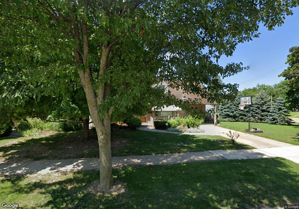
1107 29th St Rockford, IL 61108
Estimated Value: $157,000 - $171,000
4
Beds
2
Baths
1,538
Sq Ft
$107/Sq Ft
Est. Value
About This Home
This home is located at 1107 29th St, Rockford, IL 61108 and is currently estimated at $164,523, approximately $106 per square foot. 1107 29th St is a home located in Winnebago County with nearby schools including Rolling Green Elementary School, Rockford East High School, and Rockford Christian Elementary.
Ownership History
Date
Name
Owned For
Owner Type
Purchase Details
Closed on
Sep 30, 2002
Bought by
Roecker Karen
Current Estimated Value
Create a Home Valuation Report for This Property
The Home Valuation Report is an in-depth analysis detailing your home's value as well as a comparison with similar homes in the area
Home Values in the Area
Average Home Value in this Area
Purchase History
| Date | Buyer | Sale Price | Title Company |
|---|---|---|---|
| Roecker Karen | $85,000 | -- |
Source: Public Records
Tax History Compared to Growth
Tax History
| Year | Tax Paid | Tax Assessment Tax Assessment Total Assessment is a certain percentage of the fair market value that is determined by local assessors to be the total taxable value of land and additions on the property. | Land | Improvement |
|---|---|---|---|---|
| 2024 | $3,136 | $39,088 | $5,650 | $33,438 |
| 2023 | $2,956 | $34,466 | $4,982 | $29,484 |
| 2022 | $2,834 | $30,806 | $4,453 | $26,353 |
| 2021 | $2,727 | $28,247 | $4,083 | $24,164 |
| 2020 | $2,662 | $26,704 | $3,860 | $22,844 |
| 2019 | $2,606 | $25,452 | $3,679 | $21,773 |
| 2018 | $2,547 | $23,986 | $3,467 | $20,519 |
| 2017 | $2,516 | $22,955 | $3,318 | $19,637 |
| 2016 | $2,496 | $22,525 | $3,256 | $19,269 |
| 2015 | $2,528 | $22,525 | $3,256 | $19,269 |
| 2014 | $3,104 | $25,419 | $4,070 | $21,349 |
Source: Public Records
Map
Nearby Homes
- 3016 12th Ave
- 1022 23rd St
- 407 28th St
- 3205 Minnesota Dr
- 2737 Broadmoor Dr
- 3903 Charles St
- 320 Vale Ave S
- 1606 23rd St
- 1515 23rd St
- 336 Kenilworth Dr
- 1112 Blenheim Dr
- 3419 Oak Grove Ave
- 3615 Marieme Dr
- 1602 22nd St
- 4016 Dempster Ave
- 3715 Marieme Dr
- 1320 20th St
- 1111 20th St
- 819 20th St
- 2528 16th Ave