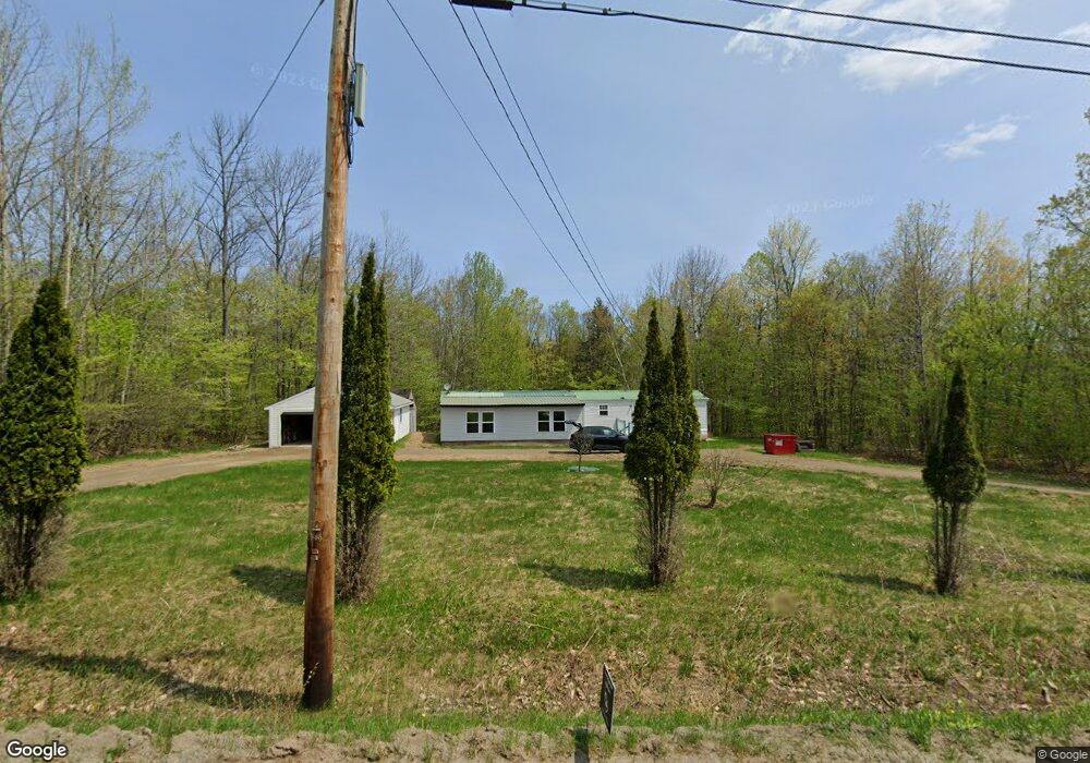
1107 Bellsqueeze Rd Clinton, ME 04927
Estimated Value: $143,105 - $232,000
Studio
--
Bath
--
Sq Ft
99,752
Sq Ft Lot
About This Home
This home is located at 1107 Bellsqueeze Rd, Clinton, ME 04927 and is currently estimated at $198,776. 1107 Bellsqueeze Rd is a home with nearby schools including Lawrence High School.
Ownership History
Date
Name
Owned For
Owner Type
Purchase Details
Closed on
May 8, 2008
Sold by
Robertson Mary and Robertson Scott
Bought by
Double Georgianna F
Current Estimated Value
Home Financials for this Owner
Home Financials are based on the most recent Mortgage that was taken out on this home.
Original Mortgage
$67,950
Outstanding Balance
$41,984
Interest Rate
5.93%
Mortgage Type
Commercial
Estimated Equity
$156,792
Purchase Details
Closed on
Aug 2, 2007
Sold by
Robertson Brenda
Bought by
Wheaton Kristin H
Home Financials for this Owner
Home Financials are based on the most recent Mortgage that was taken out on this home.
Original Mortgage
$60,000
Interest Rate
6.73%
Mortgage Type
Commercial
Create a Home Valuation Report for This Property
The Home Valuation Report is an in-depth analysis detailing your home's value as well as a comparison with similar homes in the area
Home Values in the Area
Average Home Value in this Area
Purchase History
| Date | Buyer | Sale Price | Title Company |
|---|---|---|---|
| Double Georgianna F | -- | -- | |
| Wheaton Kristin H | -- | -- |
Source: Public Records
Mortgage History
| Date | Status | Borrower | Loan Amount |
|---|---|---|---|
| Open | Double Georgianna F | $67,950 | |
| Previous Owner | Wheaton Kristin H | $60,000 |
Source: Public Records
Tax History
| Year | Tax Paid | Tax Assessment Tax Assessment Total Assessment is a certain percentage of the fair market value that is determined by local assessors to be the total taxable value of land and additions on the property. | Land | Improvement |
|---|---|---|---|---|
| 2025 | $1,478 | $106,360 | $46,640 | $59,720 |
| 2024 | $1,438 | $78,780 | $34,550 | $44,230 |
| 2023 | $1,324 | $78,780 | $34,550 | $44,230 |
| 2022 | $993 | $78,790 | $34,550 | $44,240 |
| 2021 | $1,190 | $78,790 | $34,550 | $44,240 |
| 2020 | $1,451 | $72,930 | $22,350 | $50,580 |
| 2017 | $1,415 | $72,930 | $22,350 | $50,580 |
| 2016 | $1,366 | $73,026 | $22,348 | $50,678 |
| 2015 | $1,244 | $67,971 | $22,348 | $45,623 |
| 2014 | -- | $69,000 | $22,300 | $46,700 |
Source: Public Records
Map
Nearby Homes
- 1099 Bellsqueeze Rd
- 1117 Bellsqueeze Rd
- 1118 Bellesqueeze Rd
- 1118 Bellsqueeze Rd
- 1127 Bellsqueeze Rd
- 1085 Bellsqueeze Rd
- 1123 Bellsqueeze Rd
- 1135 Bellsqueeze Rd
- 89 Stoney Ridge Dr
- 1030 Bellsqueeze Rd
- 1054 Bellsqueeze Rd
- 84 Hillcrest Dr
- 70 Hillcrest Dr
- 40 Stoney Ridge Dr
- 33 Stoney Ridge Dr
- 25 Stoney Ridge Dr
- Lot 12 Hillcrest Dr
- 53 Hillcrest Dr
- 83 Hillcrest Dr
- 11 Hillcrest Dr
Your Personal Tour Guide
Ask me questions while you tour the home.