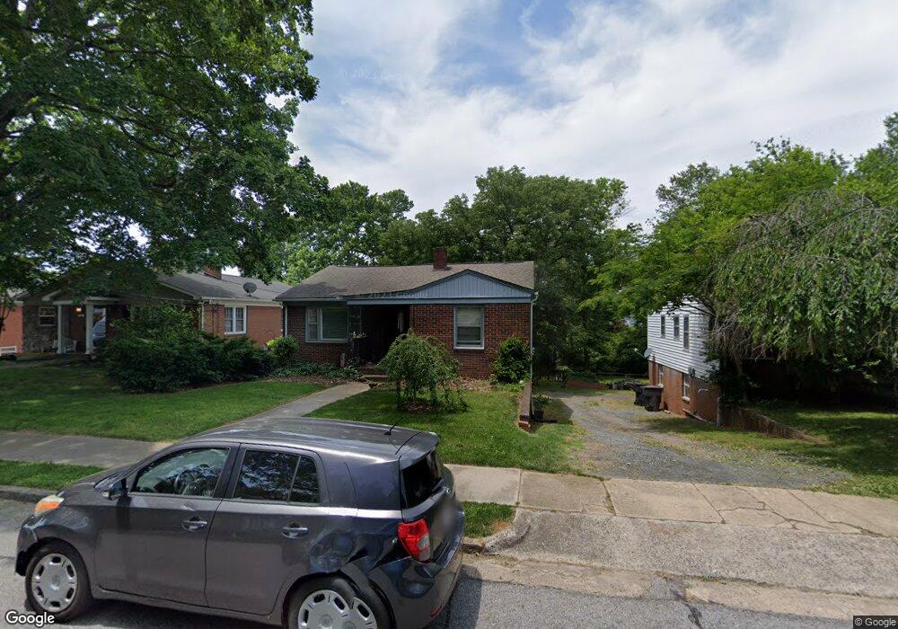
1107 Council St High Point, NC 27262
Greater High Point NeighborhoodEstimated Value: $198,000 - $303,000
4
Beds
2
Baths
2,226
Sq Ft
$114/Sq Ft
Est. Value
About This Home
This home is located at 1107 Council St, High Point, NC 27262 and is currently estimated at $254,503, approximately $114 per square foot. 1107 Council St is a home located in Guilford County with nearby schools including Northwood Elementary School, Ferndale Middle School, and High Point Central High School.
Ownership History
Date
Name
Owned For
Owner Type
Purchase Details
Closed on
May 24, 2024
Sold by
Hilton Shelly Maureen and Hilton Ronald J
Bought by
Roberson Bean Mary and Roberson David Bean
Current Estimated Value
Home Financials for this Owner
Home Financials are based on the most recent Mortgage that was taken out on this home.
Original Mortgage
$175,000
Outstanding Balance
$172,546
Interest Rate
6.88%
Mortgage Type
New Conventional
Estimated Equity
$81,957
Purchase Details
Closed on
Sep 7, 2023
Sold by
Jenkins Shelly M and Jenkins Ronald J
Bought by
Hilton Shelly Maureen and Hilton Ronald J
Purchase Details
Closed on
Aug 10, 2005
Sold by
Burns Ola Mary and Burns Dan
Bought by
Jenkins Shelly M
Create a Home Valuation Report for This Property
The Home Valuation Report is an in-depth analysis detailing your home's value as well as a comparison with similar homes in the area
Home Values in the Area
Average Home Value in this Area
Purchase History
| Date | Buyer | Sale Price | Title Company |
|---|---|---|---|
| Roberson Bean Mary | $175,000 | None Listed On Document | |
| Hilton Shelly Maureen | -- | None Listed On Document | |
| Jenkins Shelly M | $80,000 | None Available |
Source: Public Records
Mortgage History
| Date | Status | Borrower | Loan Amount |
|---|---|---|---|
| Open | Roberson Bean Mary | $175,000 | |
| Closed | Roberson Bean Mary | $7,875 |
Source: Public Records
Tax History
| Year | Tax Paid | Tax Assessment Tax Assessment Total Assessment is a certain percentage of the fair market value that is determined by local assessors to be the total taxable value of land and additions on the property. | Land | Improvement |
|---|---|---|---|---|
| 2025 | $1,430 | $152,100 | $30,000 | $122,100 |
| 2024 | $1,430 | $103,800 | $30,000 | $73,800 |
| 2023 | $1,430 | $103,800 | $30,000 | $73,800 |
| 2022 | $1,399 | $103,800 | $30,000 | $73,800 |
| 2021 | $1,138 | $82,600 | $25,000 | $57,600 |
| 2020 | $1,138 | $82,600 | $25,000 | $57,600 |
| 2019 | $1,138 | $82,600 | $0 | $0 |
| 2018 | $1,133 | $82,600 | $0 | $0 |
| 2017 | $1,138 | $82,600 | $0 | $0 |
| 2016 | $1,212 | $86,400 | $0 | $0 |
| 2015 | $1,218 | $86,400 | $0 | $0 |
| 2014 | $1,239 | $86,400 | $0 | $0 |
Source: Public Records
Map
Nearby Homes
- 705 Delmont St
- 949 Council St
- 803 Sunset Dr
- 907 Sunset Dr
- 630 Colonial Dr
- 602 W Westwood Ave
- 210 W Parkway Ave
- 810 Ferndale Blvd
- 510 Otteray Ave
- 1203 N Main St Unit F
- 207 Hillcrest Dr
- 1004 Adams St
- 604 Chandler Ave
- 1102 Johnson St
- 1116 Ferndale Blvd
- 1006 N Hamilton St
- 705 Carr St
- 427 Woodbrook Dr
- 417 Hillcrest Dr
- 1007 Wickliff Ave
- 1105 Council St
- 1109 Council St
- 1103 Council St
- 602 W Ray Ave
- 1115 Council St
- 1101 Council St
- 1110 Clyde Place
- 1108 Council St
- 1106 Council St
- 1108 Clyde Place
- 1102 Council St
- 1112 Clyde Place
- 604 W Ray Ave
- 601 Sunset Dr
- 607 Sunset Dr
- 1106 Clyde Place
- 512 W Ray Ave
- 611 Sunset Dr
- 511 Sunset Dr
- 603 W Ray Ave
Your Personal Tour Guide
Ask me questions while you tour the home.