1107 Laurelwood Dr McLean, VA 22102
Greenway Heights NeighborhoodEstimated Value: $1,785,000 - $2,325,000
3
Beds
3
Baths
1,968
Sq Ft
$1,002/Sq Ft
Est. Value
About This Home
This home is located at 1107 Laurelwood Dr, McLean, VA 22102 and is currently estimated at $1,972,898, approximately $1,002 per square foot. 1107 Laurelwood Dr is a home located in Fairfax County with nearby schools including Spring Hill Elementary School, Cooper Middle School, and Langley High School.
Ownership History
Date
Name
Owned For
Owner Type
Purchase Details
Closed on
Jun 10, 2016
Sold by
Reed Paul E and Reed Michelle A
Bought by
Reed Paul E
Current Estimated Value
Purchase Details
Closed on
Dec 12, 2003
Sold by
Reed Paul T
Bought by
Reed Michelle A
Home Financials for this Owner
Home Financials are based on the most recent Mortgage that was taken out on this home.
Original Mortgage
$520,760
Interest Rate
5.9%
Mortgage Type
New Conventional
Create a Home Valuation Report for This Property
The Home Valuation Report is an in-depth analysis detailing your home's value as well as a comparison with similar homes in the area
Home Values in the Area
Average Home Value in this Area
Purchase History
| Date | Buyer | Sale Price | Title Company |
|---|---|---|---|
| Reed Paul E | -- | Strategic National Title Grp | |
| Reed Michelle A | $650,950 | -- |
Source: Public Records
Mortgage History
| Date | Status | Borrower | Loan Amount |
|---|---|---|---|
| Previous Owner | Reed Michelle A | $520,760 |
Source: Public Records
Tax History
| Year | Tax Paid | Tax Assessment Tax Assessment Total Assessment is a certain percentage of the fair market value that is determined by local assessors to be the total taxable value of land and additions on the property. | Land | Improvement |
|---|---|---|---|---|
| 2025 | $18,569 | $1,571,670 | $1,025,000 | $546,670 |
| 2024 | $18,569 | $1,571,670 | $1,025,000 | $546,670 |
| 2023 | $16,741 | $1,453,860 | $1,013,000 | $440,860 |
| 2022 | $15,793 | $1,353,910 | $938,000 | $415,910 |
| 2021 | $14,207 | $1,187,350 | $816,000 | $371,350 |
| 2020 | $13,779 | $1,142,070 | $785,000 | $357,070 |
| 2019 | $13,779 | $1,142,070 | $785,000 | $357,070 |
| 2018 | $13,180 | $1,146,060 | $785,000 | $361,060 |
| 2017 | $13,393 | $1,131,200 | $785,000 | $346,200 |
| 2016 | $13,548 | $1,146,690 | $785,000 | $361,690 |
Source: Public Records
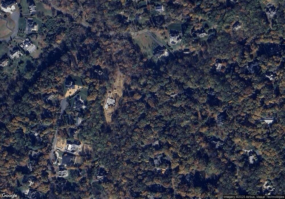
Map
Nearby Homes
- 8537 Old Dominion Dr
- 1239 Daleview Dr
- 8437 Sparger St
- 8634 Overlook Rd
- 949 Bellview Rd
- 1033 Union Church Rd
- 1002 Kimberwicke Rd
- 8355 Alvord St
- 1013 Union Church Rd
- 8340 Springhaven Garden Ln
- 8757 Brook Rd
- 1205 Towlston Rd
- 1207 Towlston Rd
- 8912 Gallant Green Dr
- 921 Towlston Rd
- 8111 Georgetown Pike
- 8652 Belle Tree
- Lot 2 Knolewood
- Lot 15 Knolewood
- 1339 Hawkin Rd
- 1109 Laurelwood Dr
- 1111 Laurelwood Dr
- 1045 Bellview Rd
- 1112 Laurelwood Dr
- 1113 Laurelwood Dr
- 1049 Bellview Rd
- 1049 Bellview Rd Unit 1
- 1033 Bellview Rd
- 1137 Daleview Dr
- 1114 Laurelwood Dr
- 1143 Daleview Dr
- 1080 Brook Valley Ln
- 1130 Daleview Dr
- 1031 Bellview Rd
- 1051 Bellview Rd
- 1100 Brook Valley Ln
- 1116 Laurelwood Dr
- 1149 Daleview Dr
- 1048 Bellview Rd
- 1050 Bellview Rd
Your Personal Tour Guide
Ask me questions while you tour the home.