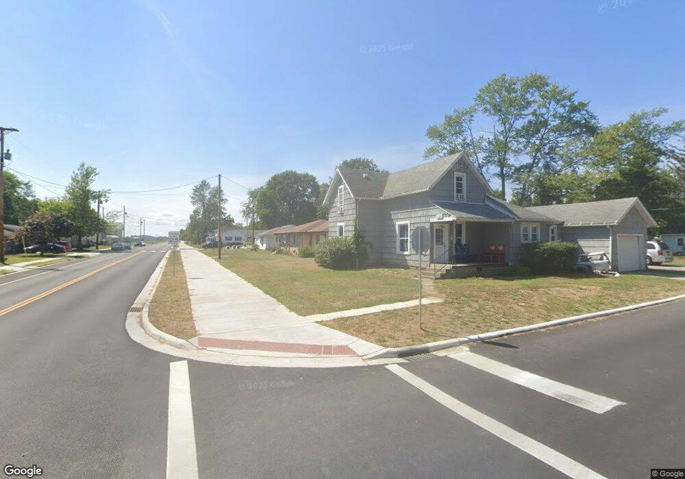
1107 Leeson Ave van Wert, OH 45891
Estimated Value: $124,000 - $150,000
2
Beds
2
Baths
1,376
Sq Ft
$102/Sq Ft
Est. Value
About This Home
This home is located at 1107 Leeson Ave, van Wert, OH 45891 and is currently estimated at $139,802, approximately $101 per square foot. 1107 Leeson Ave is a home located in Van Wert County with nearby schools including Van Wert Early Childhood Center, Van Wert High School, and Lifelinks Community School.
Ownership History
Date
Name
Owned For
Owner Type
Purchase Details
Closed on
Apr 26, 2016
Sold by
Cook John C and Cook Mary Elizabeth
Bought by
Cook John C and Cook Mary Elizabeth
Current Estimated Value
Purchase Details
Closed on
Apr 26, 2004
Bought by
Cook John C and Mary Elizabeth
Purchase Details
Closed on
Jan 8, 2001
Bought by
Barnes Steven D and Barnes Rita M
Create a Home Valuation Report for This Property
The Home Valuation Report is an in-depth analysis detailing your home's value as well as a comparison with similar homes in the area
Home Values in the Area
Average Home Value in this Area
Purchase History
| Date | Buyer | Sale Price | Title Company |
|---|---|---|---|
| Cook John C | -- | Attorney | |
| Cook John C | -- | -- | |
| Cook John C | -- | -- | |
| Barnes Steven D | $60,000 | -- | |
| Barnes Steven D | $60,000 | -- |
Source: Public Records
Tax History
| Year | Tax Paid | Tax Assessment Tax Assessment Total Assessment is a certain percentage of the fair market value that is determined by local assessors to be the total taxable value of land and additions on the property. | Land | Improvement |
|---|---|---|---|---|
| 2025 | $1,313 | $37,310 | $4,390 | $32,920 |
| 2024 | $1,313 | $37,310 | $4,390 | $32,920 |
| 2023 | $1,291 | $37,310 | $4,390 | $32,920 |
| 2022 | $1,037 | $25,960 | $3,240 | $22,720 |
| 2021 | $1,011 | $25,960 | $3,240 | $22,720 |
| 2020 | $1,009 | $25,960 | $3,240 | $22,720 |
| 2019 | $862 | $21,690 | $3,240 | $18,450 |
| 2018 | $842 | $21,690 | $3,240 | $18,450 |
| 2017 | $819 | $21,690 | $3,240 | $18,450 |
| 2016 | $749 | $20,420 | $3,240 | $17,180 |
| 2015 | $749 | $20,420 | $3,240 | $17,180 |
| 2014 | $741 | $20,420 | $3,240 | $17,180 |
| 2013 | $798 | $20,420 | $3,240 | $17,180 |
Source: Public Records
Map
Nearby Homes
- 836 State St
- 1328 Kathy St
- 615 Congress St
- 224 Woodstock Dr
- 522 South Ave
- 129 S Lynn St
- 960 Glenn St
- 421 Boyd Ave
- 923 Pratt St
- 1421 Krendl Dr
- 9365 John Brown Rd
- 114 S Wall St
- 1312 Rye Dr
- 222 Shaffer St
- 302 Shaffer St
- 9188 John Brown Rd Unit 25
- 9188 John Brown Rd Unit LOT 50
- 000 Lincoln Hwy
- 14934 Lincoln Hwy
- 00 Lincoln Hwy
Your Personal Tour Guide
Ask me questions while you tour the home.