1107 Mill Pointe Bogart, GA 30622
Estimated Value: $314,398 - $496,000
3
Beds
3
Baths
2,285
Sq Ft
$179/Sq Ft
Est. Value
About This Home
This home is located at 1107 Mill Pointe, Bogart, GA 30622 and is currently estimated at $409,100, approximately $179 per square foot. 1107 Mill Pointe is a home located in Oconee County with nearby schools including Malcom Bridge Elementary School, Malcom Bridge Middle School, and North Oconee High School.
Ownership History
Date
Name
Owned For
Owner Type
Purchase Details
Closed on
Apr 13, 2021
Sold by
Manning Brenda H
Bought by
Baker Brian and Baker Ashleigh
Current Estimated Value
Home Financials for this Owner
Home Financials are based on the most recent Mortgage that was taken out on this home.
Original Mortgage
$194,000
Interest Rate
3%
Mortgage Type
New Conventional
Purchase Details
Closed on
May 20, 2008
Sold by
Not Provided
Bought by
Manning Brenda H
Home Financials for this Owner
Home Financials are based on the most recent Mortgage that was taken out on this home.
Original Mortgage
$90,000
Interest Rate
5.82%
Mortgage Type
New Conventional
Purchase Details
Closed on
Jun 15, 2001
Sold by
Cds Investment Partners
Bought by
Soloski J0hn R
Create a Home Valuation Report for This Property
The Home Valuation Report is an in-depth analysis detailing your home's value as well as a comparison with similar homes in the area
Home Values in the Area
Average Home Value in this Area
Purchase History
| Date | Buyer | Sale Price | Title Company |
|---|---|---|---|
| Baker Brian | $194,000 | -- | |
| Manning Brenda H | -- | -- | |
| Manning Brenda H | $252,000 | -- | |
| Soloski J0hn R | $213,500 | -- |
Source: Public Records
Mortgage History
| Date | Status | Borrower | Loan Amount |
|---|---|---|---|
| Closed | Baker Brian | $194,000 | |
| Previous Owner | Manning Brenda H | $90,000 |
Source: Public Records
Tax History Compared to Growth
Tax History
| Year | Tax Paid | Tax Assessment Tax Assessment Total Assessment is a certain percentage of the fair market value that is determined by local assessors to be the total taxable value of land and additions on the property. | Land | Improvement |
|---|---|---|---|---|
| 2024 | $2,761 | $146,212 | $27,300 | $118,912 |
| 2023 | $2,732 | $139,746 | $27,300 | $112,446 |
| 2022 | $1,665 | $125,210 | $27,300 | $97,910 |
| 2021 | $2,676 | $115,582 | $27,300 | $88,282 |
| 2020 | $2,287 | $98,624 | $27,300 | $71,324 |
| 2019 | $2,023 | $87,240 | $27,300 | $59,940 |
| 2018 | $1,986 | $83,867 | $27,300 | $56,567 |
| 2017 | $2,222 | $93,819 | $27,300 | $66,519 |
| 2016 | $2,189 | $92,411 | $27,300 | $65,111 |
| 2015 | $2,178 | $91,748 | $27,300 | $64,448 |
| 2014 | $2,158 | $88,843 | $27,300 | $61,543 |
| 2013 | -- | $94,354 | $32,500 | $61,854 |
Source: Public Records
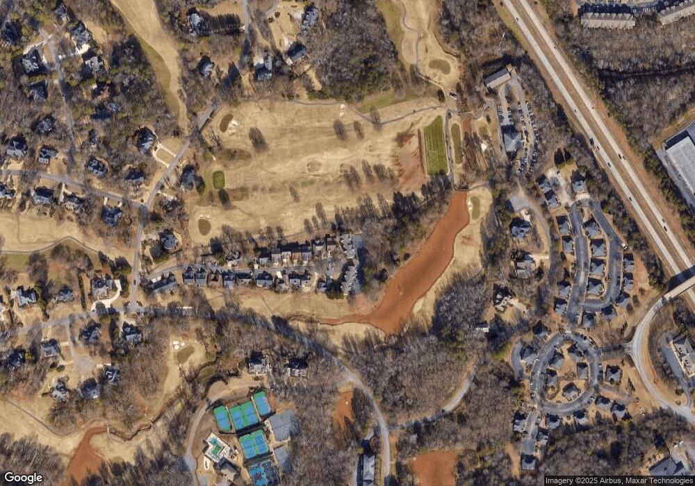
Map
Nearby Homes
- 1030 Chambers Ct
- 1070 Ramser Dr
- 1331 Jennings Mill Rd
- 1261 Meriweather Dr
- 238 Covington Place
- 228 Covington Place
- 265 Bedford Dr
- 117 Covington Place
- 1031 Vend Dr
- 1020 Tower Place
- 171 Dowdy Rd
- 355 Commerce Blvd
- 160 Cambridge Dr
- 1090 Kenway Dr
- 1266 Orchard Way
- 311 Summerville Ln
- 315 Summerville Ln
- 321 Summerville Ln
- 1105 Mill Pointe
- 1103 Mill Pointe
- 1101 Mill Pointe
- 1091 Mill Pointe
- 1085 Mill Pointe
- 1104 Mill Pointe
- 1079 Mill Pointe
- 1079 Mill Pointe
- 1106 Mill Pointe
- 1090 Mill Pointe
- 1073 Mill Pointe
- 1108 Mill Pointe
- 1078 Mill Pointe
- 0 Mill Point Unit 7456978
- 1071 Mill Pointe
- 1072 Mill Pointe
- 1067 Mill Pointe
- 1066 Mill Pointe
- 1107 Mill Pointe
- 1105 Mill Pointe