1107 Port Stanley Rd Lopez Island, WA 98261
Estimated Value: $1,861,000 - $2,364,000
4
Beds
4
Baths
3,229
Sq Ft
$662/Sq Ft
Est. Value
About This Home
This home is located at 1107 Port Stanley Rd, Lopez Island, WA 98261 and is currently estimated at $2,137,532, approximately $661 per square foot. 1107 Port Stanley Rd is a home located in San Juan County with nearby schools including Lopez Elementary School and Lopez Middle High School.
Ownership History
Date
Name
Owned For
Owner Type
Purchase Details
Closed on
Jun 5, 2006
Sold by
Beckman Eric L and Beckman Melissa M
Bought by
Lopez Properties Llc
Current Estimated Value
Create a Home Valuation Report for This Property
The Home Valuation Report is an in-depth analysis detailing your home's value as well as a comparison with similar homes in the area
Home Values in the Area
Average Home Value in this Area
Purchase History
| Date | Buyer | Sale Price | Title Company |
|---|---|---|---|
| Lopez Properties Llc | $30,000 | None Available |
Source: Public Records
Tax History Compared to Growth
Tax History
| Year | Tax Paid | Tax Assessment Tax Assessment Total Assessment is a certain percentage of the fair market value that is determined by local assessors to be the total taxable value of land and additions on the property. | Land | Improvement |
|---|---|---|---|---|
| 2024 | $12,438 | $2,184,700 | $450,050 | $1,734,650 |
| 2023 | $12,438 | $2,120,500 | $450,050 | $1,670,450 |
| 2022 | $11,496 | $1,853,490 | $450,250 | $1,403,240 |
| 2021 | $9,671 | $1,479,980 | $375,210 | $1,104,770 |
| 2020 | $9,004 | $1,252,240 | $375,210 | $877,030 |
| 2019 | $8,016 | $1,174,770 | $375,210 | $799,560 |
| 2018 | $7,378 | $1,194,280 | $1,044,940 | $149,340 |
| 2017 | $6,407 | $889,620 | $355,230 | $534,390 |
| 2016 | $5,191 | $919,390 | $417,910 | $501,480 |
| 2015 | $5,191 | $934,180 | $417,910 | $516,270 |
| 2014 | $5,191 | $973,820 | $380,010 | $593,810 |
| 2012 | $5,191 | $920,440 | $380,010 | $540,430 |
Source: Public Records
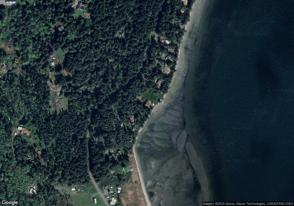
Map
Nearby Homes
- 137 Forest Ln
- 239 Shoreland Dr
- 755 Ferry Rd
- 783 Ferry Rd
- 162 Sea Ranch Rd
- 1372 Bakerview Rd
- 331 Nelson Ln
- 230 Gem Farm Ln
- 104 Estenson Rd
- 95 Weeks Rd
- 315 Mariner Dr
- 1486 Center Rd
- 264 Shaw Park Rd
- 0 EC-19 E Cove Rd
- 707 NW Thatcher Pass Rd
- 68 Sylvan Cove Rd W
- 295 Rum Runner Rd
- 4 Rum Runner Rd
- 583 Rum Runner Rd
- 268 Rum Runner Rd
- 1185 Port Stanley Rd
- 1073 Port Stanley Rd
- 1213 Port Stanley Rd
- 1045 Port Stanley Rd
- 1035 Port Stanley Rd
- 1019 Port Stanley Rd
- 1245 Port Stanley Rd
- 1239 Port Stanley Rd
- 1007 Port Stanley Rd
- 997 Port Stanley Rd
- 964 Port Stanley Rd
- 1269 Port Stanley Rd
- 963 Port Stanley Rd
- 1142 Port Stanley Rd
- 943 Port Stanley Rd
- 1337 Port Stanley Rd
- 927 Port Stanley Rd
- 1318 Port Stanley Rd
- 138 Forest Ln
- 907 Port Stanley Rd