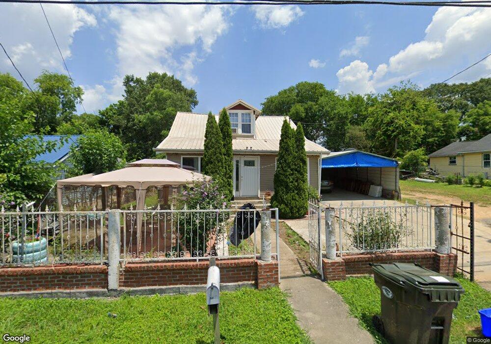
1107 Roan St Dalton, GA 30721
Estimated Value: $165,000 - $214,000
3
Beds
1
Bath
1,200
Sq Ft
$162/Sq Ft
Est. Value
About This Home
This home is located at 1107 Roan St, Dalton, GA 30721 and is currently estimated at $194,243, approximately $161 per square foot. 1107 Roan St is a home located in Whitfield County with nearby schools including Roan Elementary School, Dalton High School, and Christian Heritage School.
Ownership History
Date
Name
Owned For
Owner Type
Purchase Details
Closed on
Jul 9, 2009
Sold by
Secretary Of Housing
Bought by
Orozco Luis A
Current Estimated Value
Home Financials for this Owner
Home Financials are based on the most recent Mortgage that was taken out on this home.
Original Mortgage
$30,000
Outstanding Balance
$19,477
Interest Rate
5.53%
Mortgage Type
New Conventional
Estimated Equity
$174,766
Purchase Details
Closed on
Feb 3, 2009
Sold by
Midfirst Bank
Bought by
Secretary Of Housing Urban Dev
Purchase Details
Closed on
Jan 1, 1997
Create a Home Valuation Report for This Property
The Home Valuation Report is an in-depth analysis detailing your home's value as well as a comparison with similar homes in the area
Purchase History
| Date | Buyer | Sale Price | Title Company |
|---|---|---|---|
| Orozco Luis A | $35,000 | -- | |
| Orozco Luis A | $35,000 | -- | |
| Secretary Of Housing Urban Dev | $56,091 | -- | |
| Midfirst Bank | $56,091 | -- | |
| -- | $54,500 | -- |
Source: Public Records
Mortgage History
| Date | Status | Borrower | Loan Amount |
|---|---|---|---|
| Open | Orozco Luis A | $30,000 | |
| Closed | Midfirst Bank | $30,000 |
Source: Public Records
Tax History
| Year | Tax Paid | Tax Assessment Tax Assessment Total Assessment is a certain percentage of the fair market value that is determined by local assessors to be the total taxable value of land and additions on the property. | Land | Improvement |
|---|---|---|---|---|
| 2025 | $1,794 | $64,983 | $8,400 | $56,583 |
| 2024 | $1,794 | $64,983 | $8,400 | $56,583 |
| 2023 | $1,174 | $37,765 | $5,400 | $32,365 |
| 2022 | $798 | $30,548 | $5,400 | $25,148 |
| 2021 | $799 | $30,548 | $5,400 | $25,148 |
| 2020 | $716 | $27,693 | $5,400 | $22,293 |
| 2019 | $734 | $27,693 | $5,400 | $22,293 |
| 2018 | $739 | $27,693 | $5,400 | $22,293 |
| 2017 | $617 | $25,219 | $5,400 | $19,819 |
| 2016 | $494 | $21,820 | $3,780 | $18,040 |
| 2014 | $491 | $21,820 | $3,780 | $18,040 |
| 2013 | -- | $21,455 | $3,780 | $17,675 |
Source: Public Records
Map
Nearby Homes
- 1133 Orman St
- 301B Fields Ave
- 1114 Underwood St
- 825 Martin Luther King jr Blvd
- 601 Juniper Ave
- 204 N Bogle St
- 311 Shady Ln
- 1118 Dozier St
- 533 Underwood St
- 303 Janice St
- 0 Underwood St Unit 129860
- 812 Park Creek Way
- 404 Paige St
- 171 Keith St
- 916 Avenue E
- 306 Robinwood Dr
- Lot 5 Avenue E
- 937 Avenue F
- 928 Avenue C
- 432 4th Ave
Your Personal Tour Guide
Ask me questions while you tour the home.