110727 S 4580 Rd Sallisaw, OK 74955
Estimated Value: $174,000 - $194,226
2
Beds
2
Baths
1,056
Sq Ft
$172/Sq Ft
Est. Value
About This Home
This home is located at 110727 S 4580 Rd, Sallisaw, OK 74955 and is currently estimated at $181,307, approximately $171 per square foot. 110727 S 4580 Rd is a home located in Sequoyah County with nearby schools including Liberty Elementary School, Eastside Elementary School, and Sallisaw Middle School.
Ownership History
Date
Name
Owned For
Owner Type
Purchase Details
Closed on
Jun 3, 2013
Sold by
Maynard Clifford Odell and Maynard Diane
Bought by
Batemon Robert J and Batemon Annette K
Current Estimated Value
Purchase Details
Closed on
Apr 27, 2001
Sold by
Maynard Clif and Maynard Diane
Bought by
Batemon Rbt and Batemon Annette
Purchase Details
Closed on
Feb 9, 2000
Sold by
Kingery Dave
Bought by
Maynard Clifford
Purchase Details
Closed on
Jul 1, 1988
Sold by
Moss
Bought by
Kingery
Create a Home Valuation Report for This Property
The Home Valuation Report is an in-depth analysis detailing your home's value as well as a comparison with similar homes in the area
Home Values in the Area
Average Home Value in this Area
Purchase History
| Date | Buyer | Sale Price | Title Company |
|---|---|---|---|
| Batemon Robert J | $50,000 | None Available | |
| Batemon Rbt | -- | -- | |
| Maynard Clifford | $35,000 | -- | |
| Kingery | $50,500 | -- |
Source: Public Records
Tax History Compared to Growth
Tax History
| Year | Tax Paid | Tax Assessment Tax Assessment Total Assessment is a certain percentage of the fair market value that is determined by local assessors to be the total taxable value of land and additions on the property. | Land | Improvement |
|---|---|---|---|---|
| 2025 | $670 | $8,209 | $1,791 | $6,418 |
| 2024 | $670 | $7,971 | $1,791 | $6,180 |
| 2023 | $633 | $7,738 | $1,791 | $5,947 |
| 2022 | $555 | $7,513 | $1,793 | $5,720 |
| 2021 | $555 | $7,513 | $1,793 | $5,720 |
| 2020 | $565 | $7,513 | $1,793 | $5,720 |
| 2019 | $361 | $5,121 | $1,793 | $3,328 |
| 2018 | $364 | $5,121 | $1,793 | $3,328 |
| 2017 | $363 | $5,121 | $1,793 | $3,328 |
| 2016 | $368 | $5,126 | $1,793 | $3,333 |
| 2015 | $375 | $5,126 | $1,793 | $3,333 |
| 2014 | $409 | $5,500 | $1,793 | $3,707 |
Source: Public Records
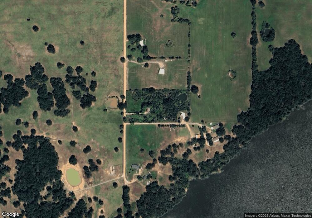
Map
Nearby Homes
- 110497 S 4580 Rd
- 459193 E 1115 Dr
- 0 E 1115 Rd
- TBD Lot 2 S 4570 Rd
- TBD Lot 1 S 4570 Rd
- TBD Lot 3 S 4570 Rd
- 456404 E 1100 Rd
- 459838 E 1120 Dr
- 000 Drake Rd
- 3089 W Drake Rd
- 460912 E 1107 Rd
- 107903 S 4570 Rd
- 2875 S Kerr Blvd
- 109256 S 4550 Rd
- Tbd Drake Rd
- 107188 S 4570 Rd
- 461510 E 1130 Rd
- 3003 W Redwood Ave
- 30 S 4550 Rd
- 2010 Aspen
- 110865 S 4580 Rd
- 110759 S 4580 Rd
- 110583 S 4580 Rd
- 460813 W Summit Ridge
- 0 W 1120 Rd Unit 1730570
- 504 W Sallisaw Hc 61 Rd
- 110618 4585 Rd
- 458194 E 1100 Rd
- 0 N 4585 Rd Unit 2213088
- 463066 E 1100 Rd
- 463482 E 1100 Rd
- 0 E 1100 Rd Unit 1014171
- 0 E 1100 Rd Unit 1525427
- 0 E 1100 Rd Unit 1924679
- 0 E 1100 Rd Unit 2012050
- 0 E 1100 Rd Unit 2216971
- 457092 E 1109 Rd